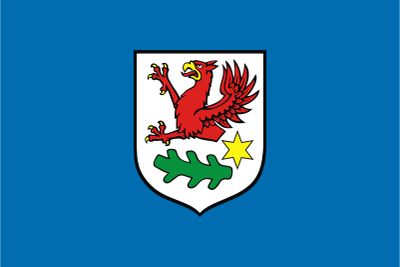
Gmina Gryfino, Administrative district in Gryfino County, Poland.
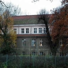
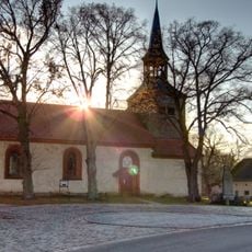
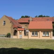
Gmina Gryfino is an administrative district in western Poland near the German border that includes the town of Gryfino and surrounding villages. The territory spans relatively flat land shaped by rivers and lakes, with communities spread across both urban and rural areas.
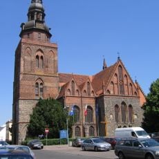
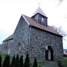
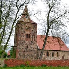
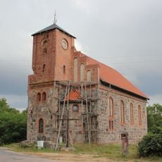
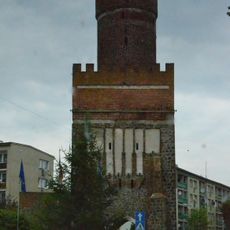
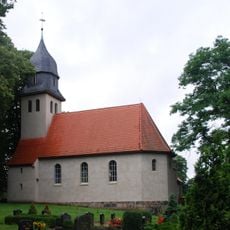
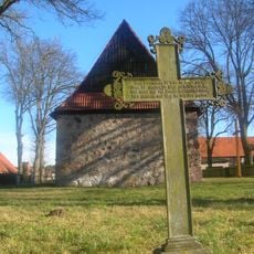
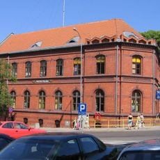
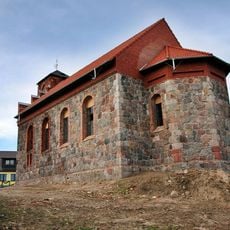
The administrative district was created in 1999 during Poland's local government reforms, uniting territories that had belonged to different Pomeranian regions historically. The town of Gryfino itself developed as a trading center along the Oder River during medieval times.
The district maintains administrative connections with neighboring German communities through regular cross-border initiatives and shared regional development programs.
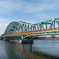
The area is well connected by roads and paths linking the various villages with the main town of Gryfino. Since most of the district is rural, having your own transport is helpful for exploring beyond the town center.
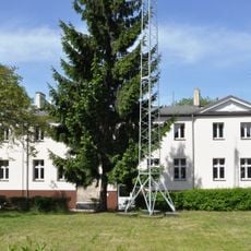
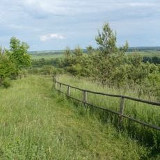
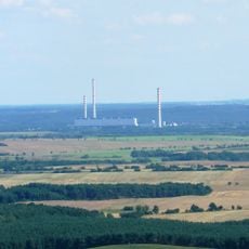
The district contains sections of two landscape parks that link natural areas with farming zones. These parks give visitors access to river and lake landscapes that form part of a wider ecological corridor in the region.
Location: Gryfino County
Shares border with: Szczecin, Gmina Kołbaskowo, Mescherin, Gmina Widuchowa, Gmina Banie, Gmina Bielice, Gmina Stare Czarnowo
Website: http://gryfino.pl
GPS coordinates: 53.25600,14.49670
Latest update: December 11, 2025 11:00
Crooked Forest
4.9 km
Church of the Nativity of the Virgin Mary in Gryfino
675 m
Odra bridge in Gryfino
1.1 km
WOP post in Gryfino
706 m
WOP post in Kamieniec
7.2 km
Corpus Christi church in Kamieniec
7.2 km
Our Lady of the Rosary church in Wełtyń
5.3 km
Church ruins in Pargowo
5.2 km
Village church Mescherin
4.5 km
Seeberg (Mescherin)
4.6 km
Kościół św. Faustyny Kowalskiej w Starych Brynkach
5.9 km
Mescherin Observation Tower
3.7 km
Bańska Gate in Gryfino
793 m
Church in Geesow
7.6 km
Willa ze skrzydłem wschodnim
446 m
Dawny cmentarz przy kościele
7.7 km
Kościół Narodzenia NMP
7.7 km
Pozostałości murów obronnych
864 m
Ogrodzenie posesji z bramą wjazdową z rzeźbami lwów
494 m
Zespół poczty
377 m
Ogrodzenie z bramą i bramkami (przy willi)
448 m
Ogród z elementami małej architektury
473 m
Powozownia
442 m
Zespół willi
438 m
Randow-Welse-Bruch
1.7 km
Poczta
377 m
Zespół kościoła Narodzenia NMP
7.7 km
Zespół kościoła św. Faustyny
5.9 kmVisited this place? Tap the stars to rate it and share your experience / photos with the community! Try now! You can cancel it anytime.
Discover hidden gems everywhere you go!
From secret cafés to breathtaking viewpoints, skip the crowded tourist spots and find places that match your style. Our app makes it easy with voice search, smart filtering, route optimization, and insider tips from travelers worldwide. Download now for the complete mobile experience.
A unique approach to discovering new places❞
— Le Figaro
All the places worth exploring❞
— France Info
A tailor-made excursion in just a few clicks❞
— 20 Minutes