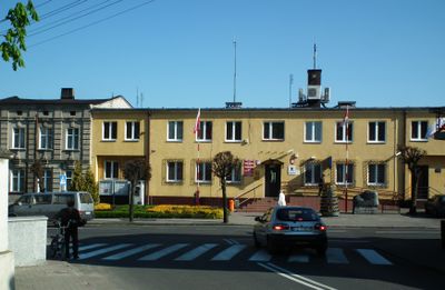
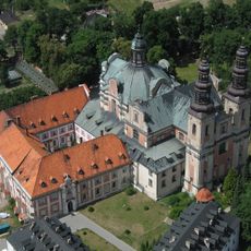
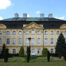
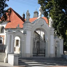
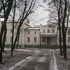
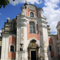
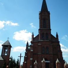
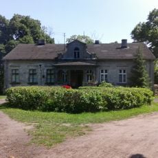
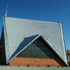
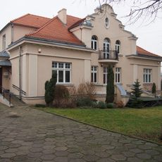
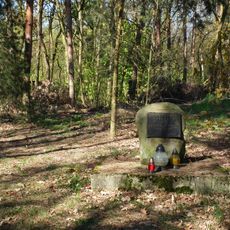
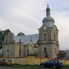
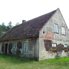
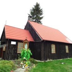
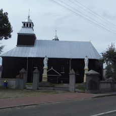
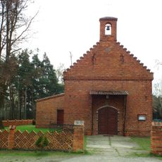
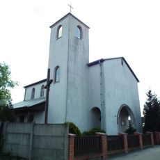
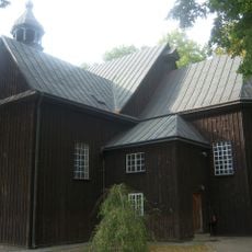
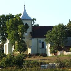
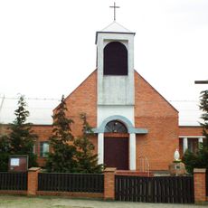
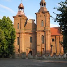
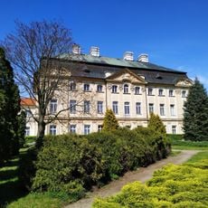
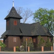
Gmina Zagórów, urban-rural gmina of Poland
Location: Słupca County
Shares border with: Gmina Lądek, Gmina Rzgów, Gmina Grodziec, Gmina Gizałki, Gmina Pyzdry
Website: http://zagorow.pl
GPS coordinates: 52.16556,17.89167
Latest update: March 3, 2025 20:54
Ląd Abbey
3.9 km
Bishops Palace in Ciążeń
7.5 km
Saint Lawrence church in Słupca
13.5 km
Saints Peter and Paul the Apostles church in Zagórów
436 m
Manor in Ląd
4.6 km
Church of Our Lady and St Nicholas in Ląd
4.3 km
Saint Stanislaus church in Trąbczyn
5.3 km
Cmentarz żydowski w Pyzdrach
12.8 km
Manor in Rataje
12.3 km
Saint Michael Archangel church in Samarzewo
11.8 km
Regional museum in Słupca
13.5 km
Cmentarz żydowski w Zagórowie
2.1 km
Saint John the Baptist church in Ciążeń
6.9 km
Cemetery in Orlina Duża
10.7 km
Postevangelical Chapel in Wrąbczynkowskie Holendry
6.2 km
Kościół św. Jakuba Apostoła w Rzgowie Pierwszym
10.7 km
Saint Anthony of Padua church in Świerczyna
11.2 km
Kaplica św. Floriana w Kopojnie
6.8 km
Saints Peter and Paul church in Kowalewo-Opactwo
9.4 km
Saint Matthew church in Myślibórz
13.5 km
Chapel of St. Faustina in Myszakówek
7.4 km
Saint Nicholas church in Lądek
5.4 km
Pałac w Ciążeniu
7.5 km
Saint Leonard church in Słupca
13.2 km
Muzeum Regionalne w Słupcy
13.5 km
Cemetery in Lądek, Słupca Country
5.9 km
Motorway bridge near Sługocin
11.3 km
Pomnik Poległych za Wolność Ojczyzny w Słupcy
13.6 kmReviews
Visited this place? Tap the stars to rate it and share your experience / photos with the community! Try now! You can cancel it anytime.
Discover hidden gems everywhere you go!
From secret cafés to breathtaking viewpoints, skip the crowded tourist spots and find places that match your style. Our app makes it easy with voice search, smart filtering, route optimization, and insider tips from travelers worldwide. Download now for the complete mobile experience.
A unique approach to discovering new places❞
— Le Figaro
All the places worth exploring❞
— France Info
A tailor-made excursion in just a few clicks❞
— 20 Minutes