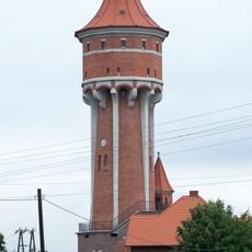
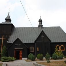
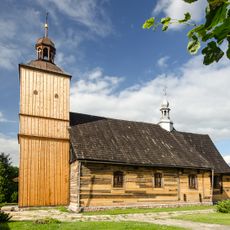
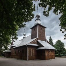
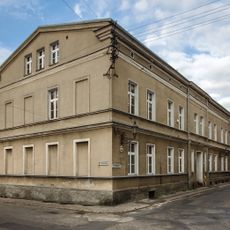
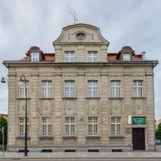
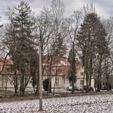
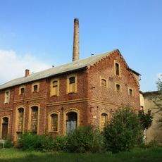
Gmina Kępno, urban-rural gmina of Poland
Location: Kępno County
Shares border with: Gmina Baranów, Gmina Bralin, Gmina Doruchów, Gmina Kobyla Góra, Gmina Ostrzeszów, Gmina Wieruszów
Website: http://um.kepno.pl
GPS coordinates: 51.28333,17.98333
Latest update: March 20, 2025 23:43
Kobyla Góra, Greater Poland Voivodeship
10.5 km
Church of the Nativity of the Virgin Mary Na Pólku
5.3 km
Podzamcze
10.8 km
Synagogue in Kępno
560 m
Saint Martin church in Kępno
535 m
Saint Lawrence and Saint Andrew church
2.3 km
Kępno town hall
564 m
Water tower in Kępno
724 m
Saint Martin church in Donaborów
6.1 km
Immaculate Conception church in Grębanin
4.4 km
Saint Hedwig church in Olszowa
4.8 km
Saint Catherine church in Świba
7.2 km
Kościół Św. Trójcy w Nowej Wsi Książęcej
9.7 km
Saint Nicholas church in Kierzno
7.6 km
Sanktuarium Świętego Idziego w Mikorzynie
9.3 km
Saint Roch church in Wieruszów
10.9 km
Fire station in Kępno
448 m
7 Kręta Street in Kępno
733 m
21 Sienkiewicza Street in Kepno
790 m
Ogrodzenie z 5 bramami
9.3 km
Pałac w Laskach
10.4 km
Magistrat, ob. biblioteka
578 m
6 Szkolna Street in Kępno
420 m
20 Wawrzyniaka Street in Kępno
633 m
Palace in Mroczeń
6.4 km
Manor in Kochłowy
10.1 km
Gorzelnia
9.5 km
Pałac (nr 165) w Mikorzyniu
9.4 kmReviews
Visited this place? Tap the stars to rate it and share your experience / photos with the community! Try now! You can cancel it anytime.
Discover hidden gems everywhere you go!
From secret cafés to breathtaking viewpoints, skip the crowded tourist spots and find places that match your style. Our app makes it easy with voice search, smart filtering, route optimization, and insider tips from travelers worldwide. Download now for the complete mobile experience.
A unique approach to discovering new places❞
— Le Figaro
All the places worth exploring❞
— France Info
A tailor-made excursion in just a few clicks❞
— 20 Minutes