Gmina Bierzwnik, Rural administrative district in Choszczno County, Poland.
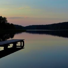
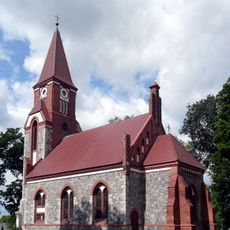
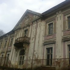
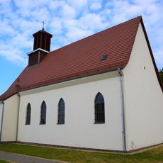
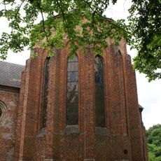
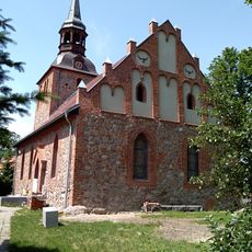
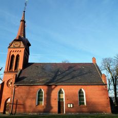
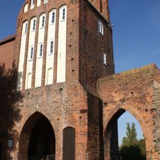
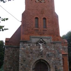
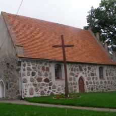
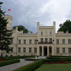
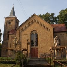
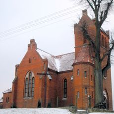
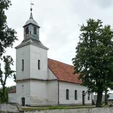
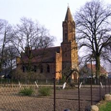
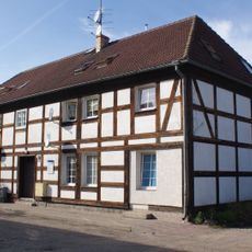
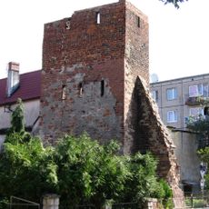
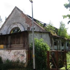
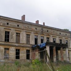
Gmina Bierzwnik is a rural administrative unit in northwestern Poland that brings together several small villages and farming communities. The landscape consists mainly of fields, forests, and scattered water bodies that define the character of the area.
The area was reorganized into its current form in 1999 during a major Polish administrative reform that modernized local governance structures. This change was part of a nationwide redesign of regional divisions.
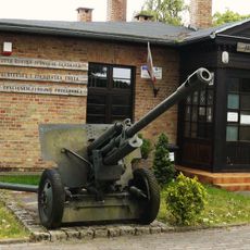
The Municipal Cultural Center operates under mayoral direction, coordinating activities and events for residents throughout the administrative district.
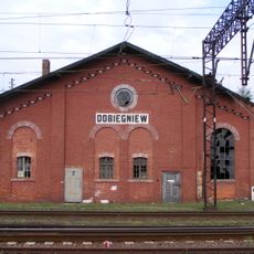
The area is best explored by car, as road connections between the villages serve as the main transportation routes. Visitors should keep in mind that this is a rural region where services are dispersed across settlements.
The territory encompasses multiple water bodies and green spaces, with a population density of 20 people per square kilometer.
Location: Choszczno County
Elevation above the sea: 69 m
Shares border with: Gmina Choszczno, Gmina Drawno, Gmina Krzęcin, Gmina Dobiegniew, Gmina Strzelce Krajeńskie
Website: http://bierzwnik.pl
GPS coordinates: 53.03333,15.66667
Latest update: December 11, 2025 18:03
Drawa National Park
19.3 km
Oflag II C Woldenberg
9.7 km
Parish Church in Dobiegniew
9.5 km
Monastery in Bierzwnik
0 m
Orthodox church of the Dormition in Ługi
10.2 km
Palace in Tuczno
12.8 km
Synagogue in Dobiegniew
9.3 km
St. Joseph's Church in Dobiegniew
8.8 km
Our Lady of the Scapular church in Bierzwnik
851 m
Saint Stanislaus Kostka church in Korytowo
14.8 km
Church of the Immaculate Conception in Stare Osieczno
19.4 km
Christ the King church in Bronowice
17.9 km
Mill Gate in Strzelce Krajeńskie
19.2 km
Muzeum Woldenberczyków
9.7 km
Saint Stanislaus Kostka church in Ogardy
9.3 km
Saint Joseph church in Lipie Góry
13.7 km
Pałac w Mierzęciniu
14.1 km
Saint John the Baptist church in Gardzko
19 km
Sacred Heart church in Barnimie
18.3 km
Church of the Child Jesus in Chomętowo
9 km
Immaculate Conception church in Licheń
15.5 km
Saint Anthony of Padua church in Bobrówko
17 km
1 Wojska Polskiego Street in Strzelce Krajeńskie
19.2 km
Saperów 34
19.3 km
36 Północna Street in Strzelce Krajeńskie
19.2 km
Wall tower in Dobiegniew
9.2 km
1 Szpitalna Street in Dobiegniew
9.4 km
Pałac w Osiku
7.7 kmVisited this place? Tap the stars to rate it and share your experience / photos with the community! Try now! You can cancel it anytime.
Discover hidden gems everywhere you go!
From secret cafés to breathtaking viewpoints, skip the crowded tourist spots and find places that match your style. Our app makes it easy with voice search, smart filtering, route optimization, and insider tips from travelers worldwide. Download now for the complete mobile experience.
A unique approach to discovering new places❞
— Le Figaro
All the places worth exploring❞
— France Info
A tailor-made excursion in just a few clicks❞
— 20 Minutes