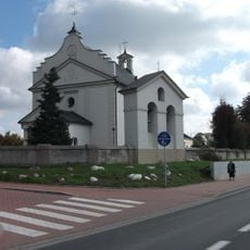
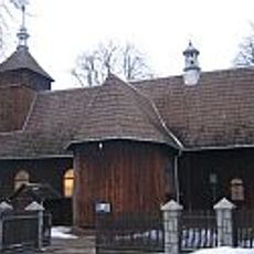
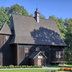
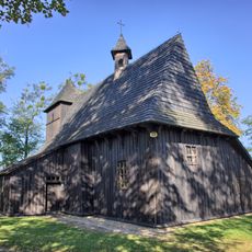
Załęcze Landscape Park, Nature reserve in Olesno County, Poland
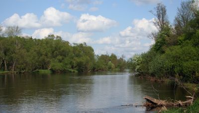
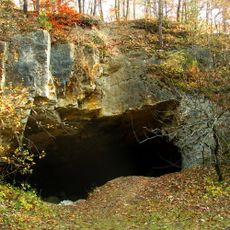
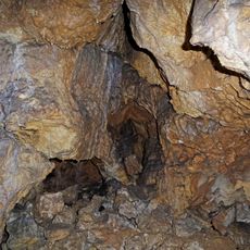
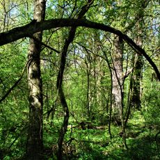
Załęcze Landscape Park is a nature reserve in Olesno County with limestone formations along the Warta River, including caves and rock outcrops set within forest. The landscape comprises wooded hills with exposed rock layers and natural viewpoints.
The area was designated as a protected reserve in 1978 to preserve the geological features of the central Polish highland region. This designation was among the early conservation efforts in the country.
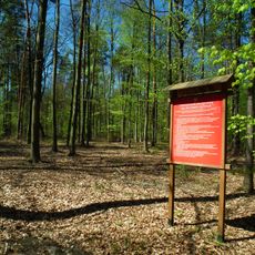
The red-marked Wieluń Jurassic Trail guides visitors through the geological formations and connects different limestone landscapes across the region. The trail shows how people engage with and learn from the natural heritage here.
The park has marked walking paths leading to the geological formations and viewpoints. Visitors should wear sturdy footwear since trails pass through forest and over rocky terrain.
The Zelce cliff rises approximately 53 meters above the Warta River and supports rare heat-loving grasslands. These plants are normally found only in the southern Kraków-Częstochowa Upland.
Location: Olesno County
GPS coordinates: 51.11658,18.73744
Latest update: December 8, 2025 19:51
Nature reserve Węże
4.2 km
Szachownica
8.5 km
Nature reserve Bukowa Góra
7.7 km
Sacred Heart church in Dzietrzniki
8.7 km
Adalbert of Prague church in Ruda
12.7 km
Holy Trinity church in Jaworzno
11.4 km
Invention of the Holy Cross and Mary Magdalene church in Działoszyn
8.6 km
Stalagmitowa Cave
4.3 km
All Saints church in Popowice
12.8 km
Church of St. Leonard in Wierzbie
14.1 km
Church in Dalachów
11.1 km
Our Lady of Częstochowa church in Załęcze Wielkie
4.9 km
Męciński Palace in Działoszyn
9.3 km
Church of the Transfiguration in Toporów
4.2 km
Pomnik poległych w Rudnikach
13 km
Saint Nicholas church in Rudniki
13 km
Saint Catherine of Alexandria church in Mierzyce
4.8 km
Saint John the Baptist church in Łaszew
6.6 km
Rezerwat przyrody Szachownica
8.2 km
Saints Peter and Paul church in Parzymiechy
8.6 km
Holy Trinity church in Grębień
11.6 km
Nature reserve Stawiska
8.5 km
Watermill in Kochlew
9.7 km
Pozostałości zespołu dworskiego
8.2 km
Dzwonnica, XVIII/XIX
8.6 km
Zespół dworski w Rudzie
12.5 km
Chapel in Kamion
4.1 km
Elektrownia wodna
9.6 kmVisited this place? Tap the stars to rate it and share your experience / photos with the community! Try now! You can cancel it anytime.
Discover hidden gems everywhere you go!
From secret cafés to breathtaking viewpoints, skip the crowded tourist spots and find places that match your style. Our app makes it easy with voice search, smart filtering, route optimization, and insider tips from travelers worldwide. Download now for the complete mobile experience.
A unique approach to discovering new places❞
— Le Figaro
All the places worth exploring❞
— France Info
A tailor-made excursion in just a few clicks❞
— 20 Minutes