Oder–Neisse line, Political border along rivers between Germany and Poland.
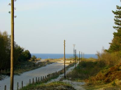
The Oder–Neisse line is a political border between Germany and Poland that follows the course of two rivers and extends 472 kilometers from the Baltic Sea to the Czech border. It runs through different landscapes, from coastal plains to forested hills and rural valleys, forming a visible dividing line that is clearly marked on maps.
The border was established in 1945 at the Potsdam Conference when the victorious powers of World War II redrew the boundaries in Europe. This decision led to large-scale population movements and fundamentally changed the political map of the continent.
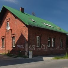
The border takes its name from the Oder River and the Lusatian Neisse, both of which have shaped this landscape for centuries and now serve as reference points for travelers. Along the river regions there are smaller towns and villages where residents from both countries shop, work or visit friends.
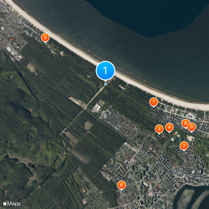
Travelers can cross the border at several points, with larger crossings in Frankfurt (Oder), Görlitz and Szczecin open around the clock. In smaller border towns there are local bridges and ferries that operate during the day and are suitable for short trips or walks.
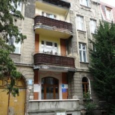
Some buildings and streets were divided by the border, so a house can stand on the German side while its garden lies on the Polish side. Such details show how arbitrarily the line sometimes runs through established settlements.
The community of curious travelers
AroundUs brings together thousands of curated places, local tips, and hidden gems, enriched daily by 60,000 contributors worldwide.