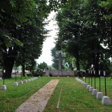
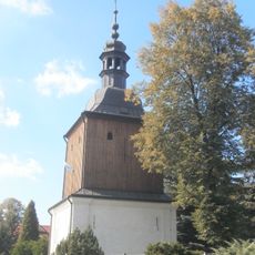
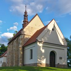
Kłaj, Rural settlement in Lesser Poland Voivodeship, Poland
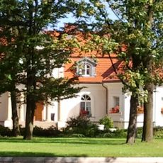
Kłaj is a rural settlement in Lesser Poland Voivodeship, situated between Kraków and Bochnia, comprising residential areas, agricultural fields, and a municipal center. The location in Wieliczka County maintains a character that blends farming land with growing housing developments.
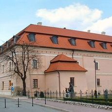
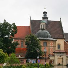
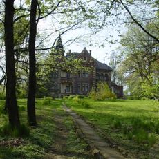
The settlement was founded in the 13th century as one of the earliest communities in the Lesser Poland region. Over the centuries, it evolved from a purely agricultural village into a modern administrative center.
The settlement reflects the coexistence of farming and residential life, where locals continue working the land while new homes expand through the community. This blend shapes how people experience daily life here.
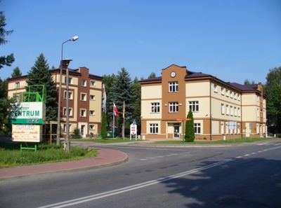
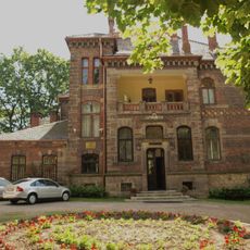
The settlement functions as the administrative center for Gmina Kłaj, offering essential local services and amenities. Visitors will find basic facilities here including shops and municipal services that serve the surrounding area.
The location sits along a major road connecting two larger cities, a position that has shaped its development over time. This crossroads location made it a natural hub for local commerce and connections between regions.
Location: Gmina Kłaj
GPS coordinates: 49.98333,20.30000
Latest update: December 10, 2025 15:48
Niepołomice Castle
8.2 km
Church of 10.000 Christians in Niepołomice
8 km
Dąbrowski Mound
5.5 km
Kościół Narodzenia św. Jana Chrzciciela w Chełmie
1.9 km
Cityhall in Niepołomice
8.2 km
Muzeum Parafialne im. Stróżów Bożego Grobu w Chełmie
1.9 km
Jewish Cemetery in Niepołomice
7.2 km
Kościół św. Józefa Robotnika w Kłaju
1.4 km
Krak II Mound
5.4 km
Saint Anne church in Łapczyca
6 km
Church of the Assumption of the Virgin Mary in Niegowić
6.8 km
Saint Anthony of Padua church in Cikowice
5.2 km
Muzeum Niepołomickie
8.2 km
Kościół NMP i św. Wojciecha w Staniątkach
8.1 km
World War I Cemetery nr 327 in Niepołomice
8.1 km
Manor house in Grodkowice
2.9 km
Zespół klasztorny benedyktynek w Staniątkach
8.2 km
Cultural heritage monuments in gmina Niepołomice
8.1 km
Klasztor w Staniątkach
8.1 km
Ogród szwedzki w zespole klasztornym benedyktynek w Staniątkach
8.1 km
Dzwonnica
6.8 km
Dwór
7.1 km
Zespół dworski w Grodkowicach
2.8 km
Cemetery in Łapczyca
5.8 km
Dzwonnica w Łapczycy
5.7 km
Church of the Nativity of the Virgin Mary in Łapczyca
5.8 km
Saint John the Baptist church in Chełm, powiat bocheński
1.9 km
Dzwonnica, XVIII/XIX
8.1 kmVisited this place? Tap the stars to rate it and share your experience / photos with the community! Try now! You can cancel it anytime.
Discover hidden gems everywhere you go!
From secret cafés to breathtaking viewpoints, skip the crowded tourist spots and find places that match your style. Our app makes it easy with voice search, smart filtering, route optimization, and insider tips from travelers worldwide. Download now for the complete mobile experience.
A unique approach to discovering new places❞
— Le Figaro
All the places worth exploring❞
— France Info
A tailor-made excursion in just a few clicks❞
— 20 Minutes