
Kochanów, Lower Silesian Voivodeship, village of Poland
Location: Gmina Kamienna Góra
Elevation above the sea: 545 m
GPS coordinates: 50.69809,16.14801
Latest update: March 18, 2025 21:36

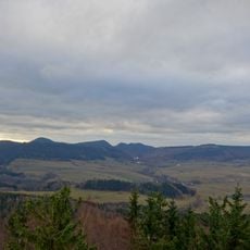
Góry Kamienne
3.5 km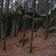
Nature reserve Głazy Krasnoludków
4 km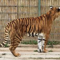
Zoo Łączna
3.4 km
Groß Wildberg
5 km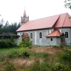
Saint Anna chapel in Chełmsko Śląskie
4.9 km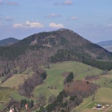
Groß Storchberg
5.6 km
Hohe Heide
3.1 km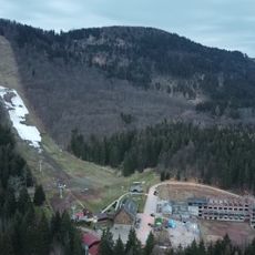
Skigebiet Góra Dzikowiec
5.8 km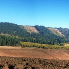
Róg (góra)
4.3 km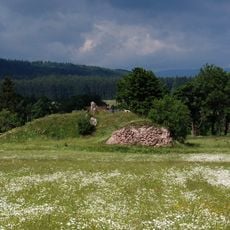
Wojaczów Castle in Grzędy
4.5 km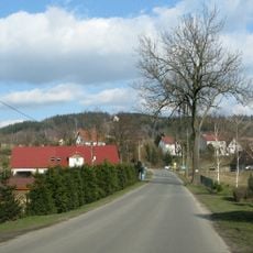
Annenberg
5.6 km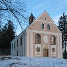
Chapel of St. Anna in Krzeszów
5.6 km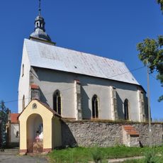
Kościół św. Wawrzyńca w Krzeszówku
4.3 km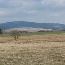
Czerep
1.4 km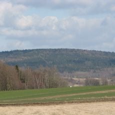
Buchberg
4.3 km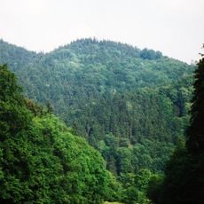
Storchberg
5.5 km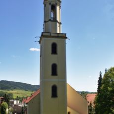
Church in Mieroszów
4.2 km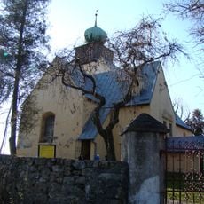
Saint Hedwig church in Grzędy
5.3 km
Schlimme Berg
4.5 km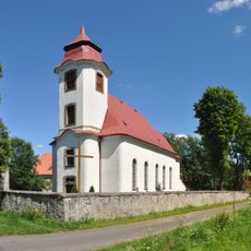
Kościół św. Mateusza w Kochanowie
1.3 km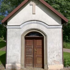
Chapel in Olszyny
5.9 km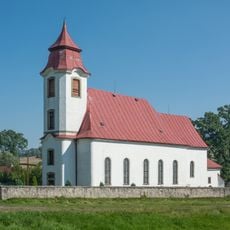
Saint Matthew church in Kochanów
1.3 km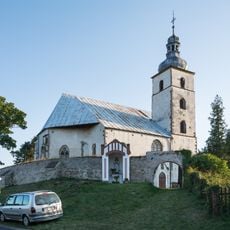
Saint Lawrence church in Krzeszówek
5 km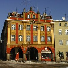
27 Niepodległości Square in Mieroszów
4.3 km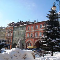
Historic center of Mieroszów
4.4 km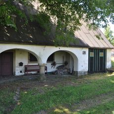
Forge in Różana
3 km
Rectory in Krzeszówek
5 km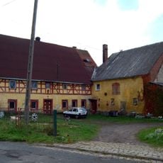
House No. 36 in Jawiszów
6 kmReviews
Visited this place? Tap the stars to rate it and share your experience / photos with the community! Try now! You can cancel it anytime.
Discover hidden gems everywhere you go!
From secret cafés to breathtaking viewpoints, skip the crowded tourist spots and find places that match your style. Our app makes it easy with voice search, smart filtering, route optimization, and insider tips from travelers worldwide. Download now for the complete mobile experience.

A unique approach to discovering new places❞
— Le Figaro
All the places worth exploring❞
— France Info
A tailor-made excursion in just a few clicks❞
— 20 Minutes