Enable Location

We need your location to show you interesting places around you

Discover nearby places

Find interesting locations and hidden gems around you

Precise directions

Get accurate directions and distances to places

Your location is never shared with other users. It's only used when you tap the location button.

Stalowa Wola County

Log in to your account

Start exploring — it's free

Trusted by 63,269 travelers worldwide

Continue with Google
Continue with Apple
or

We will send you a code to connect

By continuing, you accept our Terms and Conditions and our Privacy Policy

Check your inbox

We've sent a pincode in your inbox. Please enter the code below.

Discussion Reviews 1 Photos
7.4k Popularity

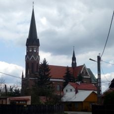
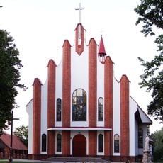
Stalowa Wola County, Administrative county in Subcarpathian Voivodeship, Poland

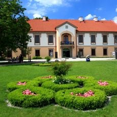
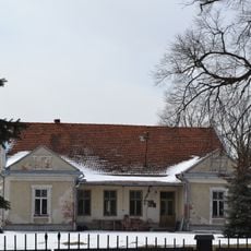
Stalowa Wola County is an administrative county in the Subcarpathian Voivodeship located in southeastern Poland. The territory contains one urban center and five rural municipalities spread across the region.

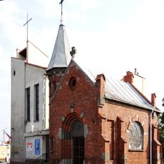
The county took its present form during the 1999 Polish administrative reforms that reorganized territorial divisions. Its communities share roots with the industrial development that transformed the region during the 20th century.

The county maintains traditional Polish administrative structures with local councils managing community affairs across its six distinct municipalities.

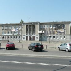
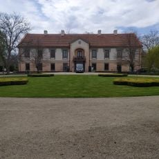
The county seat Stalowa Wola serves as the main administrative hub, located roughly 60 kilometers north of Rzeszów. Visitors exploring individual communities can do so at their own pace using local roads that connect the municipalities.

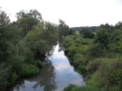
The territory sits near where the Vistula and San rivers meet in the Sandomierz Basin. This location shapes the landscape with extensive pine forests and wetland areas typical of this river valley region.

The community of curious travelers

AroundUs brings together thousands of curated places, local tips, and hidden gems, enriched daily by 60,000 contributors worldwide.

Start exploring
Capital city
Stalowa Wola
Shares border with
Nisko County, Kolbuszowa County, Tarnobrzeg County, Sandomierz County, Kraśnik County, Janów Lubelski County
GPS coordinates
50.58333,22.05000
Latest update
December 10, 2025 15:47
Reviews
Share your experience

No review yet

Discussions
Start a discussion...

No discussion yet

« Stalowa Wola County - Administrative county in Subcarpathian Voivodeship, Poland » is provided by Around Us (aroundus.com). Images and texts are derived from Wikimedia project under a Creative Commons license. You are allowed to copy, distribute, and modify copies of this page, under the conditions set by the license, as long as this note is clearly visible.

Discover hidden gems everywhere you go!

From secret cafés to breathtaking viewpoints, skip the crowded tourist spots and find places that match your style. Our app makes it easy with voice search, smart filtering, route optimization, and insider tips from travelers worldwide. Download now for the complete mobile experience.

Around Us App Screenshot

A unique approach to discovering new places

Le Figaro

All the places worth exploring

France Info

A tailor-made excursion in just a few clicks

20 Minutes

Around Us
Travel Guide & Maps
Download

Send to your phone

QR Code
1

Open the camera app on your mobile.

2

Point at the QR code with your camera. A notification will appear.

3

Tap the notification to open the link.