Rypin County, Administrative district in Kuyavian-Pomeranian Voivodeship, Poland
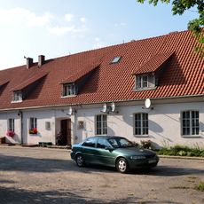
Rypin County is an administrative district in the Kuyavian-Pomeranian region of north-central Poland. The area comprises one urban center and five rural municipalities that together form a mixed landscape of towns and countryside.
The district was established in 1999 during Poland's administrative restructuring, creating a new local government framework in the region. This reorganization determined how the territory is divided and governed today.
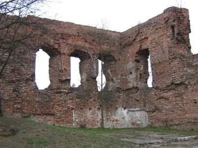
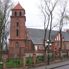
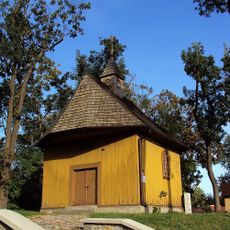
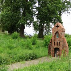
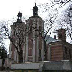
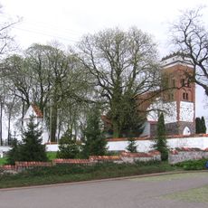
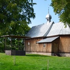
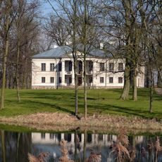
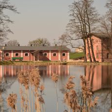
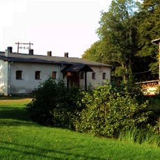
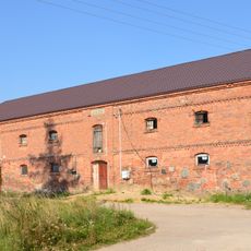
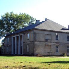
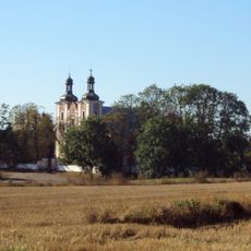
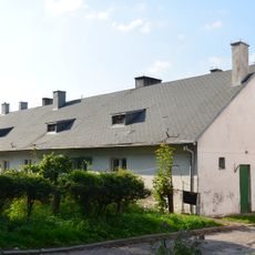
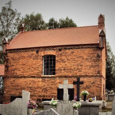
The region reflects rural Polish customs and traditions, visible in how local communities gather for seasonal celebrations and events. These practices shape daily life and create a distinct character across the towns and villages.
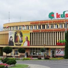
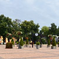
The city of Rypin at the center offers road connections to larger cities in the region. Visitors can easily access public services and explore the surrounding rural communities by traveling short distances.
The territory borders five different neighboring counties, creating a crossroads position within the regional network. This central location between northern and southern boundaries makes it a strategic connector within the broader area.
Location: Kuyavian-Pomeranian Voivodeship
Capital city: Rypin
Shares border with: Lipno County, Golub-Dobrzyń County, Brodnica County, Żuromin County, Sierpc County
Website: http://powiat.rypinski.lo.pl
GPS coordinates: 53.06667,19.45000
Latest update: December 10, 2025 16:23
Church of the Sacred Heart of Jesus in Rypin
1.9 km
Muzeum Ziemi Dobrzyńskiej
2.7 km
Holy Trinity church in Rypin
2.9 km
Kujawsko-Dobrzyńska Spółdzielnia Handlowa w Rypinie
2.8 km
Saint Barbara chapel in Rypin
2.4 km
Muzeum Ziemi Dobrzyńskiej
2.7 km
Stadion MOSiR w Rypinie
3.4 km
Cmentarz żydowski w Rypinie
2.6 km
Kościół Świętego Ducha w Rypinie
3.2 km
Evangelical-Augsburg church in Rypin
3.2 km
Saint John the Baptist church in Sadłowo
4.8 km
Kaplica Matki Bożej Studziennej w Kleszczynie
10.1 km
Kościół św. Stanisława Biskupa w Strzygach
7.6 km
Muzeum Ziemi Dobrzyńskiej
2.7 km
Dębiński tomb chapel in Pręczki
5.9 km
Chapel in Studzianka
10.1 km
Rządcówka
2.7 km
Manor in Długie
9.9 km
Pałac w Długiu
9.9 km
Młyn wodny
10 km
Obora (dec. spichrz), ob. magazyn nawozów
10 km
Spichrz
2.6 km
Pałac, XVIII/XIX
5.1 km
Manor in Sadłowo
5.1 km
Dzwonnica w Sadłowie
4.8 km
Zespół kościoła św. Jana Chrzciciela w Sadłowie
4.8 km
Czworak
2.8 km
Małkiewicz family burial chapel in Strzygi
7.6 kmVisited this place? Tap the stars to rate it and share your experience / photos with the community! Try now! You can cancel it anytime.
Discover hidden gems everywhere you go!
From secret cafés to breathtaking viewpoints, skip the crowded tourist spots and find places that match your style. Our app makes it easy with voice search, smart filtering, route optimization, and insider tips from travelers worldwide. Download now for the complete mobile experience.
A unique approach to discovering new places❞
— Le Figaro
All the places worth exploring❞
— France Info
A tailor-made excursion in just a few clicks❞
— 20 Minutes