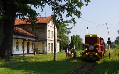
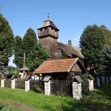
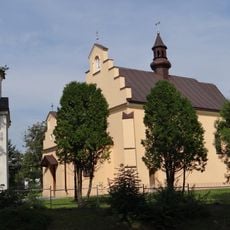
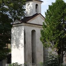
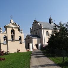
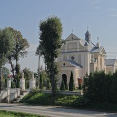
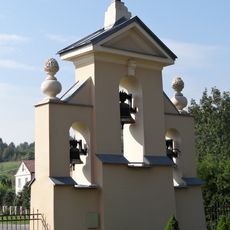
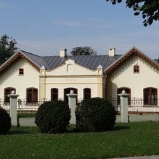
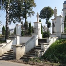
Kańczuga, Municipal center in Subcarpathian Voivodeship, Poland
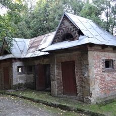
Kańczuga is a municipal center in the Subcarpathian region, situated at an elevation of about 220 meters (720 feet) with gently rolling terrain surrounding it. Underground passages run beneath the town, remnants of historical storage facilities that once served merchants and local commerce.
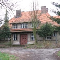
The town received its municipal charter in 1440 and subsequently passed under the control of several noble families throughout the centuries. The Pilecki family exerted particular influence during its early period, shaping its development and administration.
The Jewish community left a significant mark on the town before World War II, shaping its social fabric and leaving traces visible in local records and collective memory. This heritage remains woven into the identity of the place today.
Records related to births, marriages, and deaths from this town are preserved in the Polish State Archives located in Przemyśl, accessible to those researching local genealogy or family history. These documents offer valuable insights into the town's population over time.
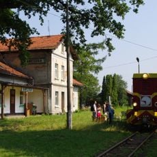
The town served as a manufacturing hub for buses built on Fiat 621R designs during the early years of Poland's automotive industry, a detail often overlooked by visitors. This industrial activity marked an important chapter in the town's economic development.
Location: Gmina Kańczuga
Elevation above the sea: 220 m
Website: http://kanczuga.internetdsl.pl
GPS coordinates: 49.98333,22.41667
Latest update: December 10, 2025 15:52
The Ulma Family Museum of Poles Saving Jews in World War II
8.4 km
Mary Magdalene church in Nowosielce
8 km
Saint Michael Archangel church in Kańczuga
350 m
Saint Nicholas church in Krzeczowice
3.4 km
Saint Catherine church in Manasterz
5.8 km
Church of the Assumption in Gać
6.5 km
Church of the Pokrov in Kańczuga
200 m
Cmentarz rzym.-kat.
589 m
Cultural heritage monuments in gmina Kańczuga
3.8 km
Cmentarz rzym.-kat., tzw. Stary
3.9 km
Cmentarz rzym.-kat. w Nowosielcach
8 km
Budynek Uniwersytetu Ludowego
6.5 km
Zespół kościoła św. Marii Magdaleny
8.1 km
Dworzec kolejki wąskotorowej
573 m
Zagroda-muzeum
8.5 km
Szkoła ludowa
8.5 km
Zespół cerkwi greko-kat. Opieki NMP, ob. kościoła Matki Boskiej Ła…
199 m
Dzwonnica
218 m
Kościół św. Katarzyny w Manasterzu
5.8 km
Kaplica grobowa rodziny Dąbrowskich w Nowosielcach
8 km
Zespół kościoła św. Katarzyny w Manasterzu
5.8 km
Budynek gospodarczy w Gaci
6.6 km
Zespół budynku Uniwersytetu Ludowego
6.6 km
Kaplica grobowa rodz. Tomalskich (dec. kaplica cmentarna) w Nowosielcach
8 km
Kaplica grobowa księży w Nowosielcach
8 km
Dzwonnica w Manasterzu
5.9 km
Plebania
384 m
Ogrodzenie
5.8 kmVisited this place? Tap the stars to rate it and share your experience / photos with the community! Try now! You can cancel it anytime.
Discover hidden gems everywhere you go!
From secret cafés to breathtaking viewpoints, skip the crowded tourist spots and find places that match your style. Our app makes it easy with voice search, smart filtering, route optimization, and insider tips from travelers worldwide. Download now for the complete mobile experience.
A unique approach to discovering new places❞
— Le Figaro
All the places worth exploring❞
— France Info
A tailor-made excursion in just a few clicks❞
— 20 Minutes