Strzyżów County, Administrative county in Subcarpathian Voivodeship, Poland
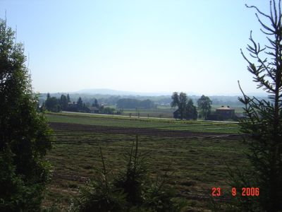
Strzyżów County is an administrative county in Subcarpathian Voivodeship covering terrain with varied landscapes, including the Wisłok River valley and the Dynowsko-Strzyżowskie Plateau. The region comprises five separate municipalities that together form this larger administrative unit.
The county took its current administrative form in 1999 during Polish local government restructuring, consolidating several smaller administrative areas into one powiat. Before this reorganization, the area operated under different administrative structures that shaped what it is today.
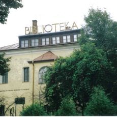
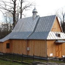
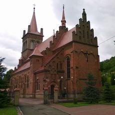
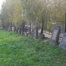
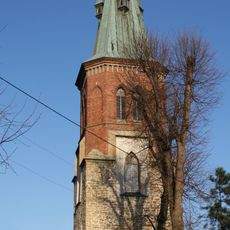
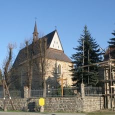
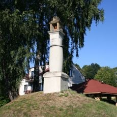
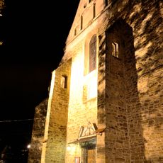
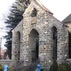
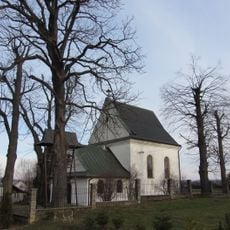
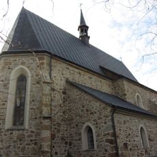
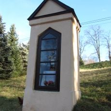
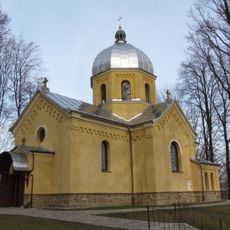
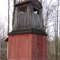
The territory holds multiple religious buildings that shape its landscape, with wooden churches dotting villages like Lutcza and Gogołów, while older synagogues in Czudec, Niebylec, and Strzyżów tell stories of its diverse past communities.
The town of Strzyżów serves as the central hub of the county and is reachable by traveling southwest, while the area connects to six neighboring administrative regions. Visitors can explore by moving between its villages and experiencing the region's varied terrain on foot or by local transport.
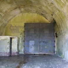
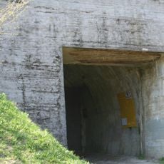
Remnants of two World War II fortification complexes survive in Stępina and Strzyżów, demonstrating the region's strategic role during the conflict. These military monuments serve as physical reminders of the area's turbulent 20th-century history.
The community of curious travelers
AroundUs brings together thousands of curated places, local tips, and hidden gems, enriched daily by 60,000 contributors worldwide.