
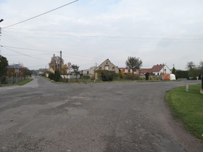
Rożniątów, village of Poland
Location: Gmina Strzelce Opolskie
GPS coordinates: 50.51028,18.25083
Latest update: March 6, 2025 03:43
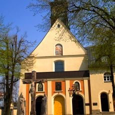
Góra Świętej Anny
8.4 km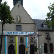
Góra Świętej Anny Monastery
8.4 km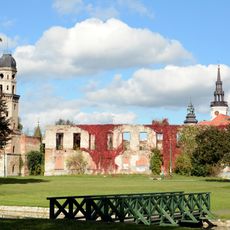
Strzelce Opolskie Castle
3.5 km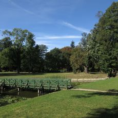
Palace Park
3.4 km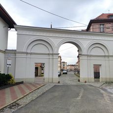
Palace Gate
3.5 km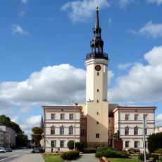
Strzelce Opolskie Town Hall
3.6 km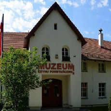
Uprising Museum in Góra Świętej Anny
8.4 km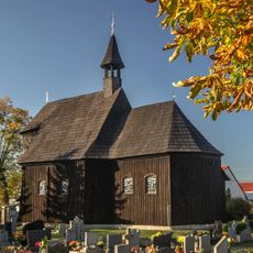
Our Lady of the Snow church in Olszowa
6.7 km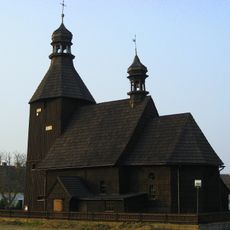
Church in Szczepanek
6.2 km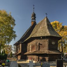
St Barbara's Church, Strzelce Opolskie
2.9 km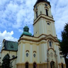
St Lawrence's Church, Strzelce Opolskie
3.6 km
Synagogue (Strzelce Opolskie)
3.8 km
Cmentarz żydowski w Strzelcach Opolskich
2.6 km
Saint Florian chapel in Rożniątów
639 m
Corpus Christi Church
3.4 km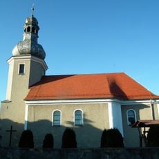
Church of St. Michael the Archangel in Poznowice
7.1 km
Church of the Nativity of the Virgin Mary in Kalinów
3.5 km
Saint Michael church in Rozmierz
5.5 km
Saints Peter and Paul church in Dolna
4.6 km
Kościół św. Barbary
3 km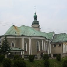
Kościół św. Floriana, XV/XVI
6.9 km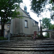
Kościół św. Anny
8.3 km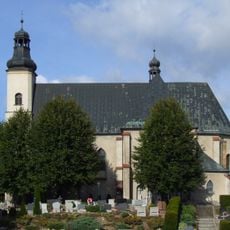
Saints Simon and Jude church in Szymiszów
6.2 km
Zamkowa Street
3.4 km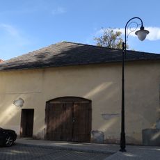
Ujeżdżalnia koni
3.4 km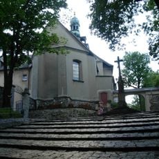
Franziskanerkloster St. Annaberg
8.3 km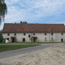
Granary in Dziewkowice
6.2 km
Dziedziniec krużgankowy, XVIII/XIX
8.3 kmReviews
Visited this place? Tap the stars to rate it and share your experience / photos with the community! Try now! You can cancel it anytime.
Discover hidden gems everywhere you go!
From secret cafés to breathtaking viewpoints, skip the crowded tourist spots and find places that match your style. Our app makes it easy with voice search, smart filtering, route optimization, and insider tips from travelers worldwide. Download now for the complete mobile experience.

A unique approach to discovering new places❞
— Le Figaro
All the places worth exploring❞
— France Info
A tailor-made excursion in just a few clicks❞
— 20 Minutes