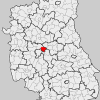
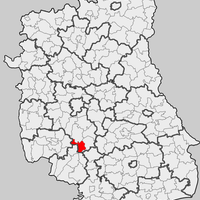
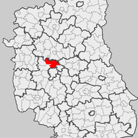
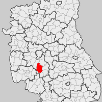
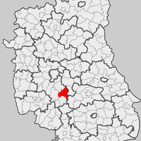
Lublin County, Administrative district in Lublin Voivodeship, Poland
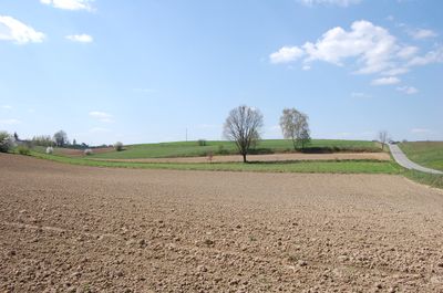
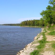
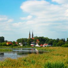
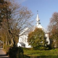
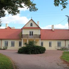
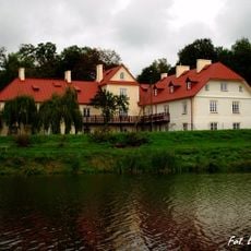
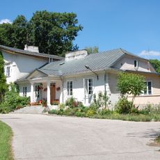
Lublin County is an administrative district in eastern Poland's Lublin Voivodeship with a mixed structure of towns and rural municipalities. The territory surrounds the city of Lublin and combines urban centers with countryside settlements.
The county's formation dates to the late 15th century when the region separated from Sandomierz Voivodeship. This split marked a major reorganization of administrative boundaries in eastern Poland.
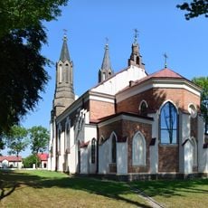
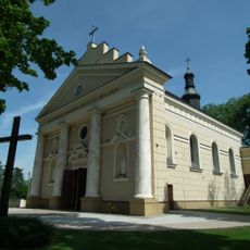
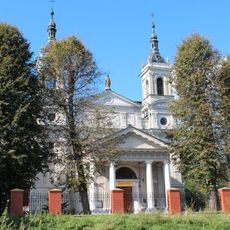
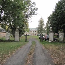
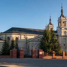
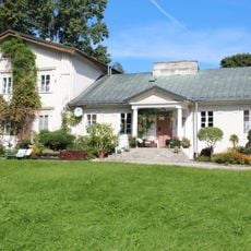
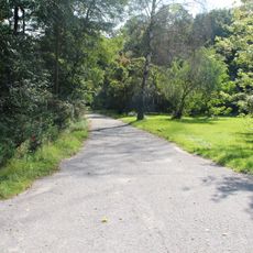
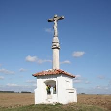
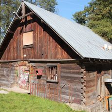
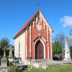
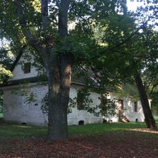
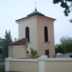
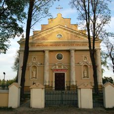
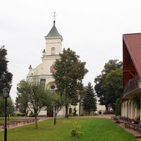
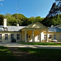
The area maintains old crafts and local customs that remain visible in its villages. Visitors can discover regional products and traditional ways of life that shape the identity of this territory.
The area is accessible through road networks connecting from Lublin Airport to the surrounding municipalities. Good transportation links make it easy to explore different parts of the county.
The city of Lublin, though serving as the administrative seat, operates as a separate entity outside the county's jurisdiction. This quirk of administration often surprises visitors who assume the city is part of the county itself.
Location: Lublin Voivodeship
Capital city: Lublin
Shares border with: Lublin, Lubartów County, Łęczna County, Świdnik County, Krasnystaw County, Biłgoraj County, Janów Lubelski County, Kraśnik County, Opole Lubelskie County, Puławy County
Email: starostwo@powiat.lublin.pl
Website: http://powiat.lublin.pl
GPS coordinates: 51.13419,22.46654
Latest update: December 7, 2025 20:21
Zemborzyce Lake
6.9 km
Zemborzyce
4.6 km
Słoneczny Wrotków
8.2 km
Saint Florian church in Krężnica Jara
1.3 km
Saint Martin church in Lublin
5.2 km
Cmentarz wojenny w Tuszowie
5.8 km
Cemetery in Zemborzyce
5.5 km
Church of Saint Bartholomew in Niedrzwica Kościelna
8.5 km
Parish cemetery in Bychawka Pierwsza
8.8 km
Palace in Osmolice
3.8 km
Kościół Wszystkich Świętych
8.8 km
Zespół pałacowy
3.8 km
Zespół kościoła Wszystkich Świętych
8.8 km
Pałac
3.4 km
Zespołem uli
3.3 km
Manor Tuszów in Żabia Wola
6.2 km
Dwór
6.2 km
Manor in Babin
8.8 km
Dwór w Piotrowicach
5.4 km
Manor in Piotrowice
5.4 km
Palace in Pszczela Wola
3.4 km
Watermill in Osmolice
4 km
Ruina pałacu
8.3 km
Stadnicki mausoleum in Bychawka Pierwsza
8.8 km
Budynek gospodarczy, tzw. Domek Ogrodnika
9.1 km
Dzwonnica
8.5 km
Zespół kościoła Wniebowzięcia NMP i św. Bartłomieja
8.5 km
Aleja lipowa obok szosy Prawiedniki – Żabia Wola , dł. ok. 550 metrów
3.7 kmVisited this place? Tap the stars to rate it and share your experience / photos with the community! Try now! You can cancel it anytime.
Discover hidden gems everywhere you go!
From secret cafés to breathtaking viewpoints, skip the crowded tourist spots and find places that match your style. Our app makes it easy with voice search, smart filtering, route optimization, and insider tips from travelers worldwide. Download now for the complete mobile experience.
A unique approach to discovering new places❞
— Le Figaro
All the places worth exploring❞
— France Info
A tailor-made excursion in just a few clicks❞
— 20 Minutes