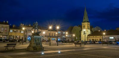
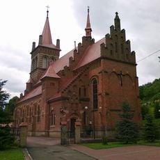
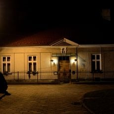
Strzyżów, Municipality and city in Subcarpathian Voivodeship, Poland.
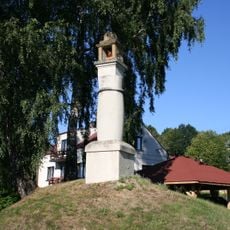
Strzyżów is a city and municipality in the Subcarpathian Voivodeship situated in the Wisłok river valley. The landscape features rolling hills and borders the Czarnorzecko-Strzyżowski Landscape Park to the south.
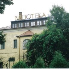
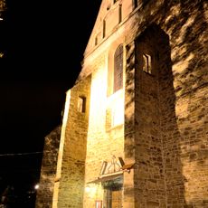
The town received city rights between 1373 and 1397 and became a trade hub connecting to regions in present-day Poland, Hungary, and Slovakia. This early role as a commercial crossroads shaped its development for centuries.
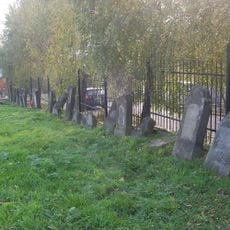
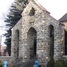
The town was home to a significant Jewish community for centuries, and visitors can still sense this heritage through older neighborhoods and local stories. The memory of this past remains woven into how residents understand their community today.
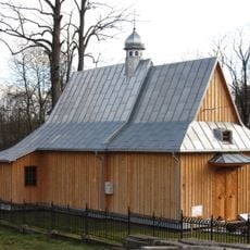
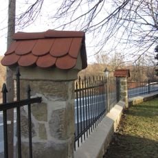
The town is best explored on foot with good orientation in the compact city center. The surrounding hills and natural areas are accessible for walks and outdoor activities in the landscape.
In 1769, the Bar Confederates took an oath before an image of the Immaculate Conception that was later incorporated into their banner. This event ties the town to a pivotal moment in Polish resistance history.
Location: Gmina Strzyżów
Inception: 1373
Website: http://strzyzow.pl
GPS coordinates: 49.87083,21.79111
Latest update: December 7, 2025 10:07
Kościół Świętej Trójcy w Czudcu
8.9 km
Synagogue in Strzyżów
369 m
Muzeum Samorządowe Ziemi Strzyżowskiej w Strzyżowie
4 m
Saints Cosmas and Damian church in Gwoździanka
6.1 km
Kościół św. Anny w Niewodnej
8.8 km
Nowy cmentarz żydowski w Strzyżowie
873 m
Church of the Nativity of the Virgin Mary in Oparówka
7 km
Collegiate church in Strzyżów
571 m
Church of Saint Nicholas in Połomia
6.9 km
Christian wayside shrine in Żarnowa
2.1 km
Ogrodzenie
6.9 km
Kościół Matki Boskiej Niepokalanie Poczętej, 3 ćw.. XVIII
494 m
Dzwonnica bramka
6.9 km
Saint Dorothy church in Kozłówek
7.9 km
Saint Anne church in Niewodna
8.8 km
Strzyżów Palace
2 km
Palace in Żyznów
7 km
Kościół św. Mikołaja Biskupa
6.9 km
Zespół schronu dla pociągu sztabowego
1.6 km
Piwnice dworu
5.8 km
Cmentarz w Oparówce
7 km
Zespół cerkwi gr.-kat., ob. kościół rzym.-kat. fil NMP
7 km
Rynek 28
509 m
Plebania, Przekopna 1 w Strzyżowie
549 m
Dzwonnica, Przekopna 1 w Strzyżowie
501 m
Dom parafialny, Przekopna 3 w Strzyżowie
520 m
Dzwonnica w Oparówce
7 km
Kapliczka z figurą św. Jana Nepomucena w Czudcu
7.9 kmVisited this place? Tap the stars to rate it and share your experience / photos with the community! Try now! You can cancel it anytime.
Discover hidden gems everywhere you go!
From secret cafés to breathtaking viewpoints, skip the crowded tourist spots and find places that match your style. Our app makes it easy with voice search, smart filtering, route optimization, and insider tips from travelers worldwide. Download now for the complete mobile experience.
A unique approach to discovering new places❞
— Le Figaro
All the places worth exploring❞
— France Info
A tailor-made excursion in just a few clicks❞
— 20 Minutes