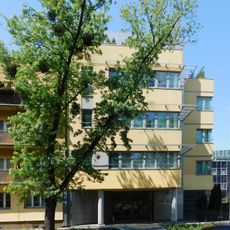
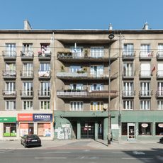
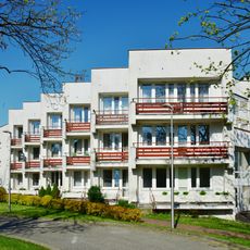
Wola, Administrative district in western Warsaw, Poland
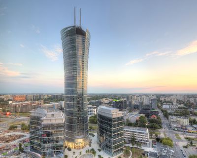
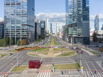
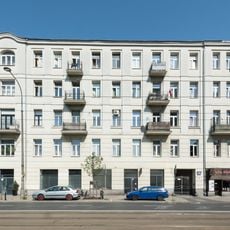
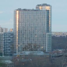
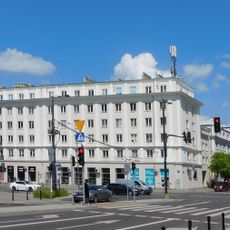
Wola is an administrative district in western Warsaw combining residential areas with modern office buildings, including the 310-meter Varso Tower as a landmark. The district consists of eight neighborhoods with the streets Towarowa and Prosta serving as main thoroughfares for offices and shops.
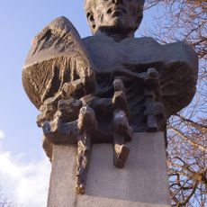
Between 1573 and 1764, Polish royal elections took place in this location when the nobility gathered to choose their monarchs. This long tradition shaped the area's historical identity before it developed into a modern urban district.
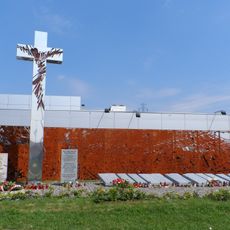
The Warsaw Uprising Museum on Towarowa Street displays objects about the 1944 resistance movement through artifacts, photographs, and personal accounts from that time. Walking through these rooms, visitors come face to face with how ordinary people lived and acted during the occupation.
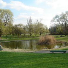
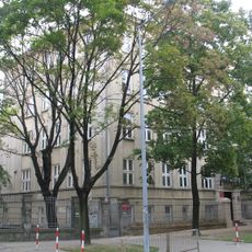
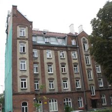
The district is well-connected by public transportation with multiple shopping centers making it easy to navigate and find what you need. Green spaces are distributed throughout residential areas, offering places to walk and sit down.
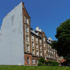
The former Haberbusch and Schiele brewery grounds have been transformed into modern establishments including Browar Warszawski with restaurants and bars. These spaces preserve the industrial architecture of the original buildings while hosting contemporary food and cultural activities.
Location: Warsaw
Shares border with: Ochota, Włochy, Bemowo, Żoliborz, Śródmieście
Website: http://wola.waw.pl
GPS coordinates: 52.23333,20.95722
Latest update: December 6, 2025 21:25
Saint Stanislaus church in Wola
244 m
Park im. Edwarda Szymańskiego w Warszawie
442 m
Memorial on Górczewska Street
539 m
Ludwik Waryński monument in Warsaw
555 m
66 Wolska Street in Warsaw
416 m
9 Płocka Street in Warsaw
657 m
82 Wolska Street in Warsaw
209 m
Dom Pomocy Społecznej Budowlani
639 m
Saint Stanislaus church in Warsaw
670 m
Adalbert of Prague church in Warsaw
258 m
11, Płocka Street in Warsaw
667 m
13 Płocka Street in Warsaw
624 m
Dom Fundacji Wawelbergów
474 m
Budynek XXXIII LO
331 m
Bliska Wola Tower
667 m
58 Wolska Street in Warsaw
551 m
Zespół gmachów Towarzystwa Szkół Powszechnych
306 m
11-13 Płocka Street in Warsaw
647 m
Ogrodzenie XXXIII LO
279 m
81, Bema Street in Warsaw
531 m
Ringstand 58c przy rogu ulicy Kasprzaka i alei Prymasa Tysiąclecia
530 m
Amphitheatre in Józef Sowiński Park in Warsaw
671 m
Former hospital at 1 Działdowska Street in Warsaw
692 m
Dom przy ulicy Płockiej 7A
698 m
21 Płocka Street in Warsaw
573 m
54 Wolska Street in Warsaw
653 m
Budynek mieszkalno-biurowy Przędzalni i Farbiarni Wola
534 m
Aleja kasztanowcowa przy ulicy Bema 81
524 mVisited this place? Tap the stars to rate it and share your experience / photos with the community! Try now! You can cancel it anytime.
Discover hidden gems everywhere you go!
From secret cafés to breathtaking viewpoints, skip the crowded tourist spots and find places that match your style. Our app makes it easy with voice search, smart filtering, route optimization, and insider tips from travelers worldwide. Download now for the complete mobile experience.
A unique approach to discovering new places❞
— Le Figaro
All the places worth exploring❞
— France Info
A tailor-made excursion in just a few clicks❞
— 20 Minutes