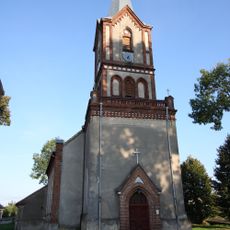
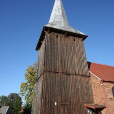
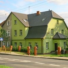
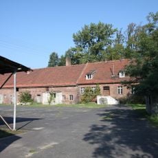
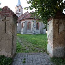
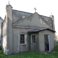
Gmina Lubrza, Administrative division in Świebodzin County, Poland.
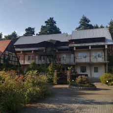
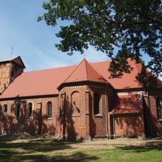
Gmina Lubrza is a rural administrative district in Świebodzin County that encompasses several villages and settlements spread across its territory. The gmina serves as the local administrative center for surrounding communities and their residents.
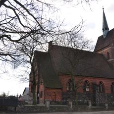
The territory was formerly known as Liebenau during German times and underwent major administrative reorganization after the Second World War. This restructuring followed international agreements that redrew the borders of postwar Europe.
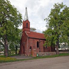
The administrative district maintains active partnerships with neighboring German towns, creating opportunities for regular interaction and exchange between Polish and German communities.
The territory sits approximately 41 kilometers north of Zielona Góra and 50 kilometers south of Gorzów Wielkopolski in a conveniently located position. Local road networks connect the gmina to surrounding regional centers for easy navigation.
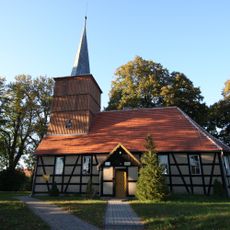
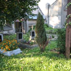
The area maintains a low population density that supports traditional agricultural practices and rural community structures across the region. This distinctive balance allows the landscape and local communities to retain their historical character.
Location: Świebodzin County
Shares border with: Gmina Łagów, Gmina Międzyrzecz, Gmina Skąpe, Gmina Sulęcin, Gmina Świebodzin
Website: http://lubrza.pl
GPS coordinates: 52.30556,15.44278
Latest update: December 12, 2025 07:51
Regenwurmlager
7.8 km
Cistercian monastery in Gościkowo-Paradyż
8 km
Mini Zoo w Mostkach
5.9 km
Saint John the Baptist church in Lubrza
135 m
Church of the Annunciation in Boryszyn
5.8 km
Rezerwat przyrody Dębowy Ostrów
4.6 km
Wągieł
1.6 km
Martinez
563 m
Krzeczkowo
7.7 km
Saint Stanislaus church in Żelechów
6.4 km
Kościół ewang., ob. rzym.-kat. Narodzenia NMP
6.1 km
Saint Barbara church in Wysoka
7.9 km
Kościół św. Małgorzaty w Ługowie
5.5 km
Paradyż (Paradise)
7.7 km
Saint Anne church in Jordanowo
7.7 km
Our Lady of Częstochowa church in Mostki
5.7 km
Cmentarz w Glińsku
7.7 km
Nature reserve Pniewski Ług
3.2 km
Cemetery in Staropole
4.7 km
Schron bojowy PzW nr 708
4.6 km
Kościół św. Józefa w Glińsku
7.7 km
Kościół ewangelicki, ob. rzym.-kat. św. Wawrzyńca
5.6 km
Wooden bell tower in Sieniawa
7.8 km
83 Zachodnia Street in Świebodzin
7.8 km
Ogrodzenie
5.6 km
Budynek folwarczny I
7.6 km
Ogrodzenie z bramą
7.7 km
Kaplica grobowa rodu Magdeburg, ob. kostnica
7.7 kmVisited this place? Tap the stars to rate it and share your experience / photos with the community! Try now! You can cancel it anytime.
Discover hidden gems everywhere you go!
From secret cafés to breathtaking viewpoints, skip the crowded tourist spots and find places that match your style. Our app makes it easy with voice search, smart filtering, route optimization, and insider tips from travelers worldwide. Download now for the complete mobile experience.
A unique approach to discovering new places❞
— Le Figaro
All the places worth exploring❞
— France Info
A tailor-made excursion in just a few clicks❞
— 20 Minutes