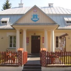
Horodło, Village seat of Gmina Horodło in Hrubieszów County, Poland
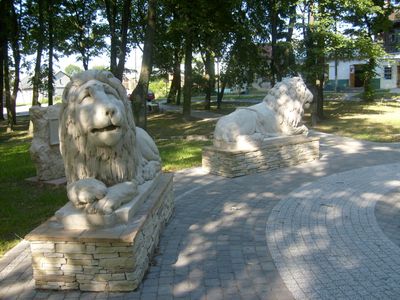
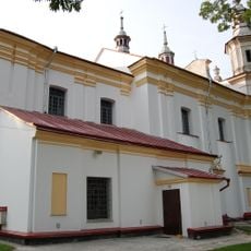
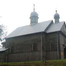
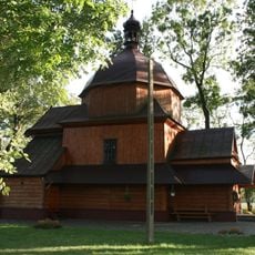
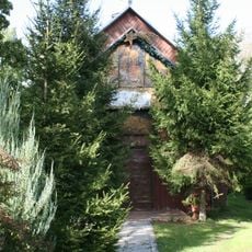
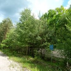
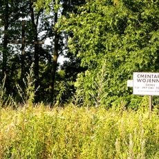
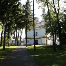
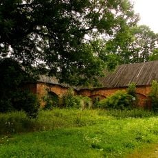
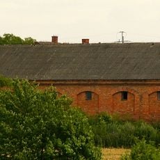
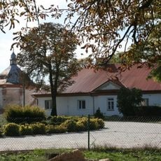
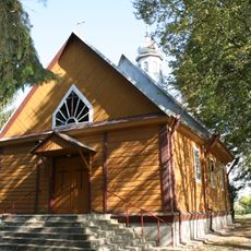
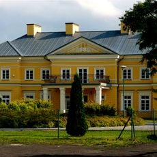
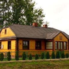
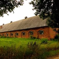
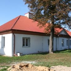
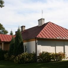
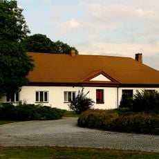
Horodło is a village in the Lublin region of eastern Poland, sitting on the banks of the Bug River close to the Ukrainian border. The settlement lies on gently hilly ground, surrounded by farmland and patches of woodland, with low buildings spread along the main road.
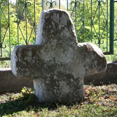
The settlement grew during the Middle Ages as a fortified point at a crossing of the Bug River, connecting different territories in the region. It became known across Europe in 1413 when the Union of Horodło was signed here, drawing Poland and the Grand Duchy of Lithuania into a closer political bond.
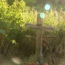
A monument in the village marks the spot where Polish and Lithuanian nobles gathered in 1413 to sign an agreement that shaped the region for generations. Locals and visitors occasionally stop here on their way between Poland and Ukraine, giving the place a quiet role as a crossing point between two worlds.
The village is accessible by road from the direction of Chełm to the north and from smaller roads coming from the south. A car is the most practical way to get around, as public transport connections are limited in this rural area.
The 1413 union treaty included an unusual provision: Polish noble families adopted Lithuanian nobles under their own coats of arms, creating a symbolic kinship between the two groups. This practice was rare in European diplomacy and set the Horodło agreement apart from other political unions of its time.
The community of curious travelers
AroundUs brings together thousands of curated places, local tips, and hidden gems, enriched daily by 60,000 contributors worldwide.