Kobyla Góra, Greater Poland Voivodeship, Rural village in Greater Poland Voivodeship, Poland
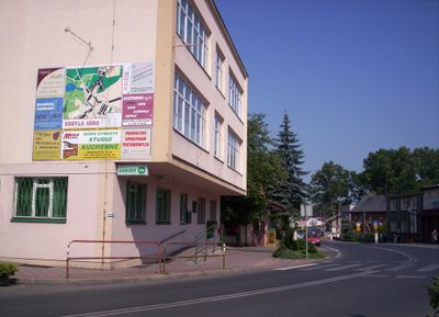
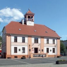
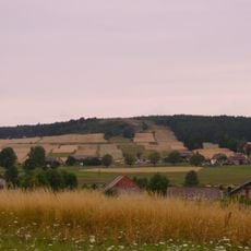
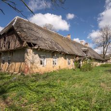
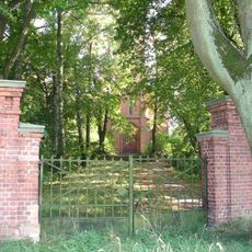
Kobyla Góra is a village in Greater Poland Voivodeship situated at around 200 meters elevation and serves as the administrative center for its surrounding district. It features typical rural architecture and is connected by local roads that link it to nearby towns.
During the Polish Kingdom era, this settlement functioned as a private town within Sieradz Voivodeship before becoming part of Ostrzeszów County administration. Over time it evolved into a rural administrative center with its own local importance.
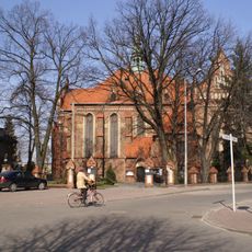
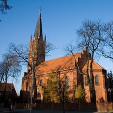
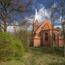
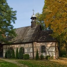
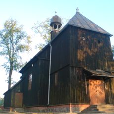
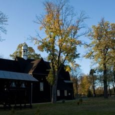
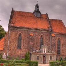
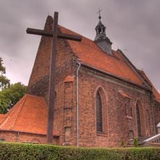
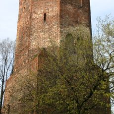
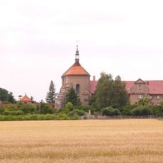
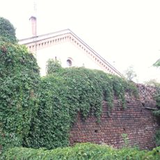
The church dedicated to Saint Hedwig serves as a focal point where the community gathers and local rural customs are observed. It stands at the heart of how residents experience their village life.
The village is situated roughly 12 kilometers west of Ostrzeszów and approximately 130 kilometers southeast of Poznań, making it reasonably accessible. Visitors should expect that local roads form the backbone of connections and public transport options may be limited.
The name comes from Slavic roots where 'Kobyla' refers to a mare, pointing to the area's historical involvement in horse-related activities. This reflects the agricultural past when horses were central to work and daily survival.
Location: Gmina Kobyla Góra
Elevation above the sea: 202 m
GPS coordinates: 51.37944,17.83778
Latest update: December 10, 2025 15:46
Kobyla Góra, Greater Poland Voivodeship
4.2 km
Evangelical-Augsburg church in Pisarzowice
7.6 km
Norwegian POW Museum
8.4 km
Kościół Świętych Apostołów Piotra i Pawła w Sycowie
11.4 km
Saint Nicholas church in Ostrzeszów
8.8 km
Christ the King church in Ostrzeszów
8.3 km
Scout Monument in Ostrzeszów
8.4 km
Ostrzeszów Town Hall
8.3 km
Saint Hedwig of Andechs church in Kobyla Góra
147 m
Kościół ewangelicki w Kobylej Górze
293 m
Saint Andrew church in Słupia pod Bralinem
10 km
Church of the Nativity of the Virgin Mary in Myślniew
1.8 km
Saint Michael Archangel church in Ostrzeszów
8.7 km
Saint Lawrence church in Olszyna
4.6 km
Holy Trinity church in Marcinki
3.3 km
Saint Nicholas church in Parzynów
4.5 km
Kościół Najświętszej Maryi Panny Wniebowziętej w Ostrzeszowie
8.4 km
Bałczyna (Wzgórza Ostrzeszowskie)
6.9 km
Church of the Assumption in Ostrzeszów
8.4 km
Soviet military cemetery in Syców
10.3 km
54 Sikorskiego Street in Ostrzeszów
7.9 km
Ostrzeszów Castle
8.4 km
Manor in Rojów
5.9 km
Mur z bramą
8.7 km
Manor in Kochłowy
7.4 km
Klasztor, Leśna 5 w Ostrzeszowie
8.7 km
Pozostałości murów obronnych
11.2 km
Ogrodzenie z bramą
323 mVisited this place? Tap the stars to rate it and share your experience / photos with the community! Try now! You can cancel it anytime.
Discover hidden gems everywhere you go!
From secret cafés to breathtaking viewpoints, skip the crowded tourist spots and find places that match your style. Our app makes it easy with voice search, smart filtering, route optimization, and insider tips from travelers worldwide. Download now for the complete mobile experience.
A unique approach to discovering new places❞
— Le Figaro
All the places worth exploring❞
— France Info
A tailor-made excursion in just a few clicks❞
— 20 Minutes