Enable Location

We need your location to show you interesting places around you

Discover nearby places

Find interesting locations and hidden gems around you

Precise directions

Get accurate directions and distances to places

Your location is never shared with other users. It's only used when you tap the location button.

Korfantów

Log in to your account

Start exploring — it's free

Trusted by 67,562 travelers worldwide

Continue with Google
Continue with Apple
or

We will send you a code to connect

By continuing, you accept our Terms and Conditions and our Privacy Policy

Check your inbox

We've sent a pincode in your inbox. Please enter the code below.

Korfantów
Discussion Reviews 1 Photos
7.8k Popularity

Korfantów, Municipality in Opole Voivodeship, Poland.

Korfantów is a municipality in Opole Voivodeship situated on the Niemodlin Plain in a farming region. It spreads across about 10 square kilometers with residential areas surrounded by open fields at roughly 200 meters elevation.

The settlement was known as Friedland under German rule before being renamed Korfantów in 1946 to honor Polish politician Wojciech Korfanty. This change reflected the region's shift after centuries of control by different European powers.

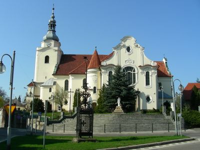
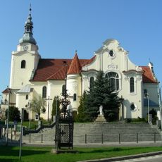
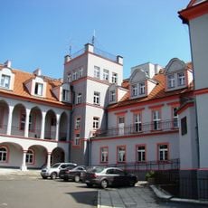
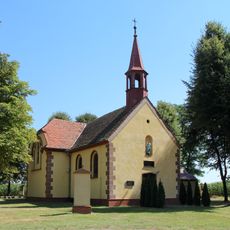
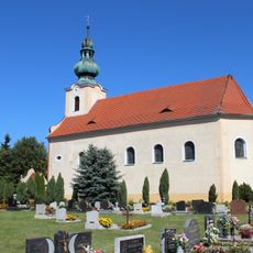
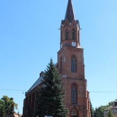
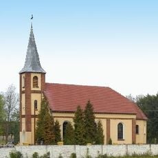
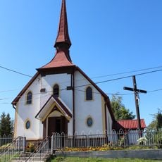
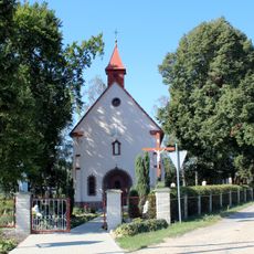
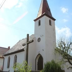
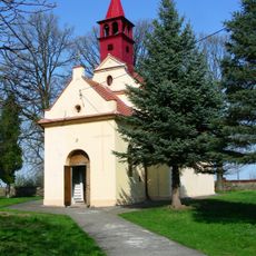
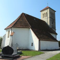
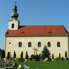
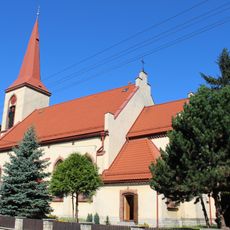
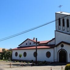
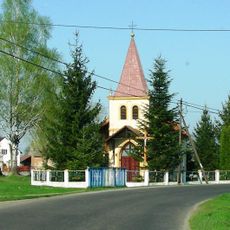
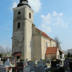
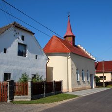
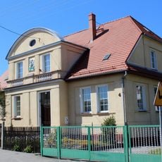
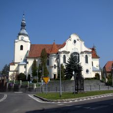
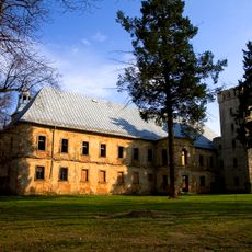
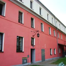
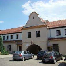
The town shows architectural traces from different periods of European rule, with buildings reflecting Polish, German, and Czech influences in their style. Visitors can observe these layers of heritage simply by walking through the streets and noticing how the built environment tells this mixed history.

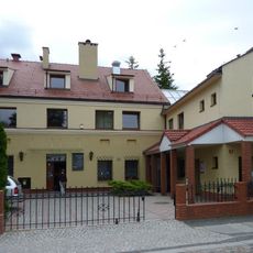
The town is well connected by roads to larger cities in the region and is organized around agriculture and local businesses. Basic services are available for visitors passing through or exploring the surrounding countryside.

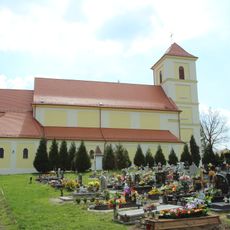
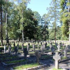
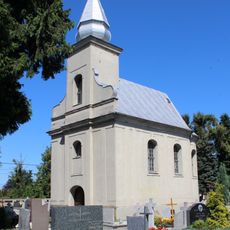
The town cemetery holds a memorial marking where Polenlager 85 once stood, a concentration camp that operated from 1942 to 1943 during World War II. This quiet remembrance site preserves an important but difficult chapter of the region's past.

The community of curious travelers

AroundUs brings together thousands of curated places, local tips, and hidden gems, enriched daily by 60,000 contributors worldwide.

Start exploring
Location
Elevation above the sea
203 m
GPS coordinates
50.50000,17.60000
Latest update
December 10, 2025 16:04
Around this place
Miejsce Pamięci Narodowej w Łambinowicach
Poland

Miejsce Pamięci Narodowej w Łambinowicach

5.5 km
Centralne Muzeum Jeńców Wojennych
Poland

Centralne Muzeum Jeńców Wojennych

5.5 km
Holy Trinity church in Korfantowo
Poland

Holy Trinity church in Korfantowo

1.2 km
Korfantów Palace
Poland

Korfantów Palace

1.4 km
Kościół Matki Boskiej Bolesnej na Szwedzkiej Górce
Poland

Kościół Matki Boskiej Bolesnej na Szwedzkiej Górce

7.6 km
Kościół św. Jana Chrzciciela w Przechodzie
Poland

Kościół św. Jana Chrzciciela w Przechodzie

6.2 km
Mary Magdalene church in Łambinowice
Poland

Mary Magdalene church in Łambinowice

5.3 km
Saint Martin church in Jasienica Dolna
Poland

Saint Martin church in Jasienica Dolna

7.3 km
Category:Saint Edith Stein church in Pogórze
Poland

Category:Saint Edith Stein church in Pogórze

7.9 km
Kościół św. Floriana w Przydrożu Małym
Poland

Kościół św. Floriana w Przydrożu Małym

6.7 km
Kościół Matki Bożej Różańcowej w Goszczowicach
Poland

Kościół Matki Bożej Różańcowej w Goszczowicach

7.8 km
Kaplica Matki Boskiej Nieustającej Pomocy w Rzymkowicach
Poland

Kaplica Matki Boskiej Nieustającej Pomocy w Rzymkowicach

5 km
Church of Our Lady of Good Counsel
Poland

Church of Our Lady of Good Counsel

4.3 km
Our Lady of Częstochowa church Przydroże Wielkie
Poland

Our Lady of Częstochowa church Przydroże Wielkie

5.3 km
Kościół św. Mikołaja w Rynarcicach
Poland

Kościół św. Mikołaja w Rynarcicach

4.9 km
Saint John the Baptist church in Przechód
Poland

Saint John the Baptist church in Przechód

6.2 km
Stary cmentarz w Łambinowicach
Poland

Stary cmentarz w Łambinowicach

6.4 km
Saints Peter and Paul church in Rzymkowice
Poland

Saints Peter and Paul church in Rzymkowice

5.3 km
Saint Florian church in Sowin
Poland

Saint Florian church in Sowin

6 km
Our Lady of Perpetual Help church in Kuźnica Ligocka
Poland

Our Lady of Perpetual Help church in Kuźnica Ligocka

4.5 km
Kościół Narodzenia NMP we Włodarach
Poland

Kościół Narodzenia NMP we Włodarach

8 km
Kaplica Trójcy Świętej w Piechocicach
Poland

Kaplica Trójcy Świętej w Piechocicach

6.1 km
Dom zakonny elżbietanek w Łambinowicach
Poland

Dom zakonny elżbietanek w Łambinowicach

5.3 km
Kościół Św. Trójcy, Opolska 1 w Korfantowie
Poland

Kościół Św. Trójcy, Opolska 1 w Korfantowie

1.2 km
Przydroże Małe
Poland

Przydroże Małe

6.8 km
Oficyna, ob. budynek mieszkalny
Poland

Oficyna, ob. budynek mieszkalny

1.4 km
Kaplica cmentarna w Wierzbiu
Poland

Kaplica cmentarna w Wierzbiu

3.3 km
Budynek bramny, ob. budynek usługowy
Poland

Budynek bramny, ob. budynek usługowy

1.4 km
Show the full map
Reviews
Share your experience

No review yet

Discussions
Start a discussion...

No discussion yet

« Korfantów - Municipality in Opole Voivodeship, Poland » is provided by Around Us (aroundus.com). Images and texts are derived from Wikimedia project under a Creative Commons license. You are allowed to copy, distribute, and modify copies of this page, under the conditions set by the license, as long as this note is clearly visible.

Discover hidden gems everywhere you go!

From secret cafés to breathtaking viewpoints, skip the crowded tourist spots and find places that match your style. Our app makes it easy with voice search, smart filtering, route optimization, and insider tips from travelers worldwide. Download now for the complete mobile experience.

Around Us App Screenshot

A unique approach to discovering new places

Le Figaro

All the places worth exploring

France Info

A tailor-made excursion in just a few clicks

20 Minutes

Around Us
Travel Guide & Maps
Download

Send to your phone

QR Code
1

Open the camera app on your mobile.

2

Point at the QR code with your camera. A notification will appear.

3

Tap the notification to open the link.