
Poźrzadło, village of Poland
Location: Gmina Łagów, Lubusz Voivodeship
GPS coordinates: 52.29833,15.24611
Latest update: April 16, 2025 15:54
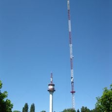
Jemiołów Transmitter
5.9 km
Mini Zoo w Mostkach
9.4 km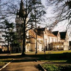
Palace in Toporów
4 km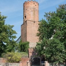
Castle of the Order of St. John in Łagów
5.1 km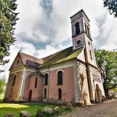
Church of St. John the Baptist in Łagów, powiat świebodziński
5.2 km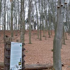
Nature reserve Nad Jeziorem Trześniowskim
6.3 km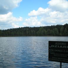
Dziarg
6.5 km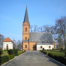
Our Lady of the Rosary church in Toporów
3.7 km
Polish Gate in Łagów
5.1 km
Cerkiew św. Michała Archanioła w Torzymiu
11.2 km
Exaltation of the Holy Cross in Torzym
11.1 km
Malcz Południowy
4.3 km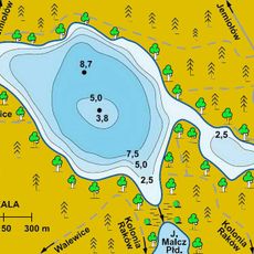
Malcz Północny
5.6 km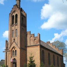
Our Lady of Częstochowa church in Kosobudz
7.3 km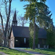
Chapel of the Beheading of St. John the Baptist in Łagów, powiat świebodziński
5.5 km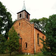
Saint Andrew Bobola church in Małuszów
11.3 km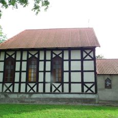
Our Lady of Częstochowa church in Grabów
9.6 km
Krzeczkowo
12 km
Skansen Jemiołów
6.6 km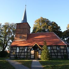
Saint Stanislaus church in Żelechów
7.4 km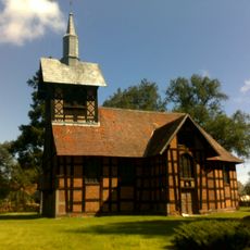
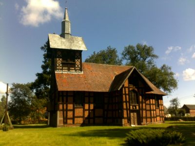
Annunciation church in Poźrzadło
0 m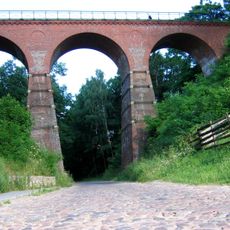
Railway viaduct in Łagów, powiat świebodziński
5.2 km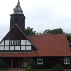
Church of the Assumption in Niedźwiedź
8.4 km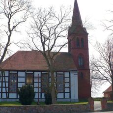
Our Lady of Częstochowa church in Mostki
10.7 km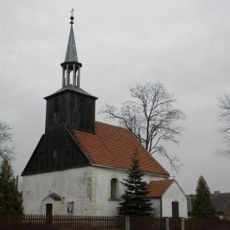
Immaculate Conception church in Łagówek
7.3 km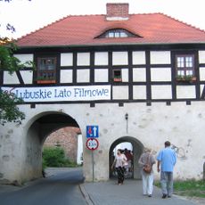
Brandenburg Gate in Łagów
5.1 km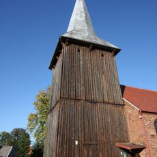
Wooden bell tower in Sieniawa
11.4 km
Zespół urbanistyczno-krajobrazowy
5.1 kmReviews
Visited this place? Tap the stars to rate it and share your experience / photos with the community! Try now! You can cancel it anytime.
Discover hidden gems everywhere you go!
From secret cafés to breathtaking viewpoints, skip the crowded tourist spots and find places that match your style. Our app makes it easy with voice search, smart filtering, route optimization, and insider tips from travelers worldwide. Download now for the complete mobile experience.

A unique approach to discovering new places❞
— Le Figaro
All the places worth exploring❞
— France Info
A tailor-made excursion in just a few clicks❞
— 20 Minutes