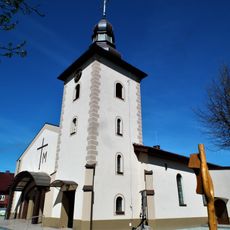
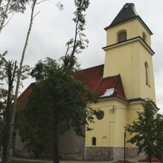
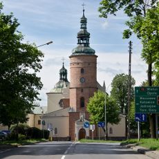
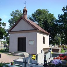
Blachownia, Industrial town in Silesian Voivodeship, Poland
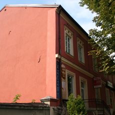
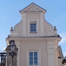
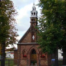
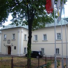
Blachownia is a town in southeastern Poland that developed around metal production, with forests and waterways that once powered the local forges. The landscape is shaped by rolling terrain and green spaces typical of the Upper Liswarta region.
The settlement received its founding permission from King Kazimierz the Great in 1356, marking the start of organized settlement in the region. Over the following centuries, it became a major center for metal production that supplied materials across a wide area.
The metal-making tradition defined this place for centuries, shaping how settlements grew and people organized their work. You can still observe how the old forges and workshops influenced the layout of neighborhoods.
The town connects to Częstochowa through a national road and has a railroad station linking it to other regional centers. Using public transportation makes it easy to explore the area and reach nearby forests and natural spaces.
The local forges were so productive that by 1630 they produced hundreds of wagons of iron materials every year for distribution across the region. This output made it one of the most important metal suppliers in the wider area.
Location: Gmina Blachownia
Elevation above the sea: 262 m
Website: http://blachownia.com.pl
GPS coordinates: 50.78333,18.96667
Latest update: December 7, 2025 19:26
Saint Roch Cemetery in Częstochowa
9.3 km
Valley of Mercy
9 km
Saint Hyacinth church in Bór Zapilski
9.3 km
Saints Roch and Sebastian church in Częstochowa
9.3 km
Saint Valentine church in Konopiska
6.9 km
Saint Anthony of Padua church in Cisie
4.1 km
Saint John the Baptist church in Poczesna
6.9 km
Transfiguration church in Częstochowa
3.8 km
Church of the Assumption of Mary in Olszyna
9 km
Virgin Mary Queen of Poland and Saint Michael Archangel church in Blachownia
327 m
Liszka
7.9 km
Salvator church in Blachownia
2.6 km
Saints Barbara and Andrew church in Częstochowa
9.3 km
Protestant cemetery in Częstochowa
9.3 km
27 Siedmiu Kamienic Street in Częstochowa
9.7 km
Willa
990 m
Cemetery in Konopiska
6.8 km
World Wars
9.2 km
Cmentarz katolicki w Częstochowie
9.1 km
Saint Barbara chapel in Częstochowa
9.3 km
1-9 Lubuska Street in Częstochowa
8.1 km
29 Siedmiu Kamienic Street in Częstochowa
9.7 km
66 Barbary Street in Częstochowa
9.2 km
Dom mieszkalny
9.5 km
8 Barbary Street in Częstochowa
9.5 km
Musicians' Houses on Jasna Góra in Częstochowa
9.7 km
Mary Magdalene chapel in Częstochowa
8.9 km
Klasztor, ob. plebania
9.3 kmVisited this place? Tap the stars to rate it and share your experience / photos with the community! Try now! You can cancel it anytime.
Discover hidden gems everywhere you go!
From secret cafés to breathtaking viewpoints, skip the crowded tourist spots and find places that match your style. Our app makes it easy with voice search, smart filtering, route optimization, and insider tips from travelers worldwide. Download now for the complete mobile experience.
A unique approach to discovering new places❞
— Le Figaro
All the places worth exploring❞
— France Info
A tailor-made excursion in just a few clicks❞
— 20 Minutes