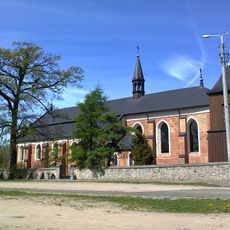
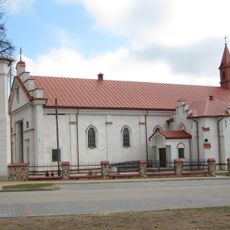
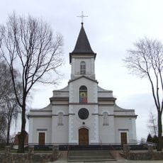
Gmina Grabowo, Administrative district in Kolno County, Poland
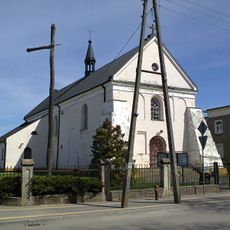
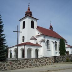
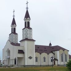
Gmina Grabowo is a rural municipality in the Podlaskie Voivodeship in northeastern Poland. The administrative area encompasses multiple villages and settlements spread across an agricultural landscape.
The municipality emerged during Poland's administrative reforms that reorganized the country into new districts. Today it forms part of the established system of local governance in the region.
The district maintains traditional administrative practices of north-eastern Poland, reflecting the regional characteristics of the Podlaskie Voivodeship through its local governance.
The administrative center is located in Grabowo village and is accessible via local roads. Visitors will find a typical rural area with basic infrastructure for everyday needs.
The district incorporates numerous settlements with distinct naming patterns, such as Konopki-Białystok and Grądy-Możdżenie, reflecting local geographical classifications.
Location: Kolno County
Shares border with: Gmina Przytuły, Gmina Stawiski, Gmina Kolno, Gmina Biała Piska, Gmina Szczuczyn, Gmina Wąsosz
Website: http://grabowo.pl
GPS coordinates: 53.45000,22.15000
Latest update: December 10, 2025 20:02
Blessed Virgin Mary church in Szczuczyn
15.1 km
Church of the Transfiguration in Wąsosz
13.7 km
Saint Anne church in Kolno
15 km
Jewish cemetery in Kolno
16.2 km
Synagogue in Kolno
15 km
Saint Anthony church in Stawiski
7.9 km
Saint John the Baptist church in Grabowo
1.5 km
Church of the Nativity of the Virgin Mary in Wąsosz
13.9 km
Saint Anne church in Radziłów
17.5 km
Nature reserve Uroczysko Dzierzbia
7.7 km
Holy Trinity church in Borkowo
14.9 km
Jewish cemetery in Jasionówka
9.2 km
Cmentarz żydowski w Stawiskach
11 km
Kościół Chrystusa Króla Wszechświata w Kolnie
16 km
Rezerwat przyrody Ławski Las I
11.5 km
Holy Cross church in Przytuły, Podlaskie Voivodeship
13.9 km
Ciuchcia w Kolnie | atrakcja turystyczna
15.5 km
Saint Stanislaus church in Niedźwiadna
11.1 km
Synagogue in Stawiski
7.8 km
Kościół Narodzenia NMP w Słuczu
13 km
World War I Cemetery in Karwowo
15.1 km
Cmentarz wojenny z I wojny światowej w Józefowie
14.1 km
Kościół św. Barbary (z Radziłowa) w Kramarzewie
18.1 km
Cmentarz wojenny - Karwowo-Konotapa
13.5 km
Dzwonnica
13.8 km
Zespół kościoła św. Wojciecha
11.2 km
Dwór w Słuczu
13.3 km
Dzwonnica
11.1 kmVisited this place? Tap the stars to rate it and share your experience / photos with the community! Try now! You can cancel it anytime.
Discover hidden gems everywhere you go!
From secret cafés to breathtaking viewpoints, skip the crowded tourist spots and find places that match your style. Our app makes it easy with voice search, smart filtering, route optimization, and insider tips from travelers worldwide. Download now for the complete mobile experience.
A unique approach to discovering new places❞
— Le Figaro
All the places worth exploring❞
— France Info
A tailor-made excursion in just a few clicks❞
— 20 Minutes