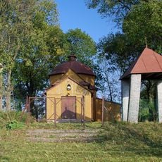
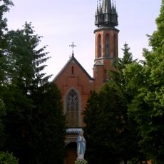
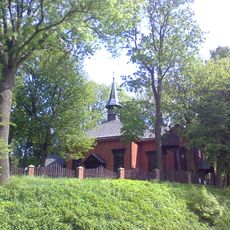
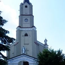
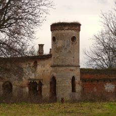
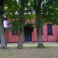
Gmina Dołhobyczów, Rural administrative district in Hrubieszów County, Poland
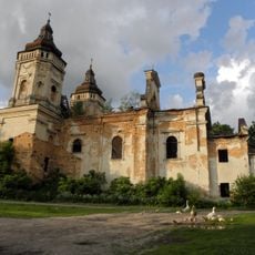
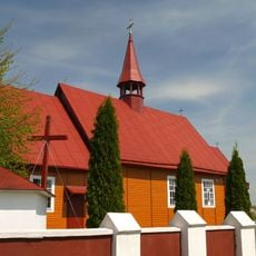
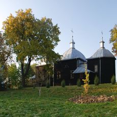
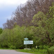
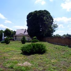
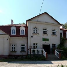
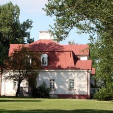
Gmina Dołhobyczów is a rural municipality in eastern Poland comprising numerous villages and small settlements spread across the region. The administrative center is located in the village of Dołhobyczów, serving as the main point for local governance and community services.
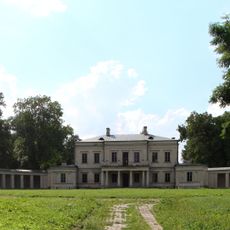
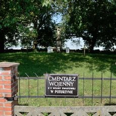
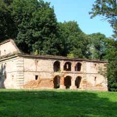
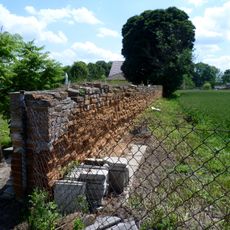
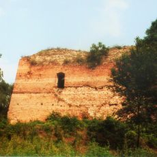
The municipality was established in 1867 during an administrative reorganization and experienced significant changes during World War II. These events shaped the area's structure and development in lasting ways.
The district maintains close connections with neighboring Ukrainian territories through its border location, facilitating cross-cultural exchanges and community interactions.
The village of Dołhobyczów is situated roughly 28 kilometers southeast of Hrubieszów and serves as the main point for administrative matters. Reaching the area from larger cities requires travel time and having your own transportation is advisable.
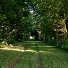
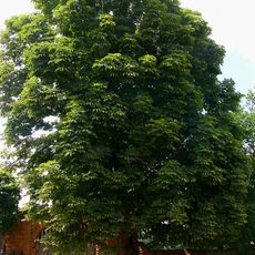
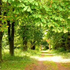
The area contains the Suśle Wzgórza nature reserve, which protects the spotted souslik, a ground squirrel species from eastern Europe. This protected zone showcases the natural diversity of the eastern Polish lowlands.
Location: Hrubieszów County
Shares border with: Gmina Mircze, Gmina Telatyn, Gmina Ulhówek
Website: http://dolhobyczow.pl
GPS coordinates: 50.58667,24.03361
Latest update: December 11, 2025 11:08
Church of Simeon Stylites in Dołhobyczów
120 m
St. Mark's Church, Variazh
8.8 km
Church of Saint Barbara in Oszczów
3.4 km
Saint Nicholas church in Liski
10.8 km
Saint John the Evangelist church in Sulimów
7.5 km
Our Lady of Częstochowa church in Dołhobyczów
254 m
Cerkiew Ścięcia Głowy św. Jana Chrzciciela w Wiszniowie
9.6 km
Church of the Nativity of the Virgin Mary in Kryłów
10.6 km
Fedorivka
8.7 km
Rastawiecki Palace in Dołhobyczów
381 m
World War I cemetery in Poturzyn
7.2 km
Cmentarz kościelny w Wiszniowie
9.6 km
Brama z domkiem odźwiernego
10.3 km
Rządcówka
334 m
Pałac w Dołhobyczowie
428 m
Zespół pałacowy
6.7 km
Pałac w Gołębiu
6.7 km
Pozostałości zespołu klasztornego reformatów
10.3 km
Palace in Oszczów
3.3 km
Spichrz
351 m
Zespół parku pałacowego
10.3 km
Stajnia z wozownią
442 m
Ogrodzenie
10.4 km
Zespół cerkwi greko-kat., ob. kościół rzym.-kat. św. Stanisława
9.6 km
Obwarowania, ziemno-murowane
10.6 km
Ogród klasztorny reformatów
10.3 km
Zespół pałacowy
3.3 km
Park pałacowy
10.3 kmVisited this place? Tap the stars to rate it and share your experience / photos with the community! Try now! You can cancel it anytime.
Discover hidden gems everywhere you go!
From secret cafés to breathtaking viewpoints, skip the crowded tourist spots and find places that match your style. Our app makes it easy with voice search, smart filtering, route optimization, and insider tips from travelers worldwide. Download now for the complete mobile experience.
A unique approach to discovering new places❞
— Le Figaro
All the places worth exploring❞
— France Info
A tailor-made excursion in just a few clicks❞
— 20 Minutes