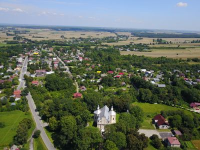
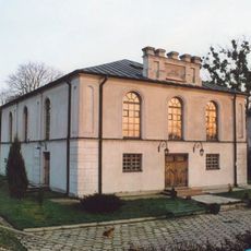
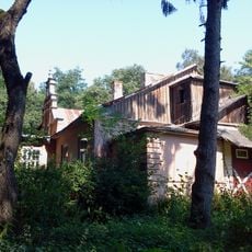
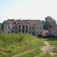
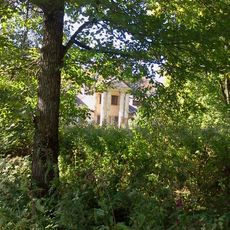
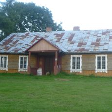
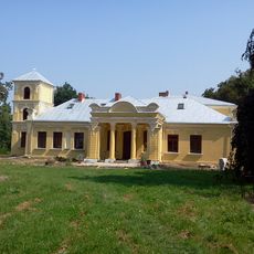
Uchanie, Administrative village in Hrubieszów County, eastern Poland
Uchanie is a village in Gmina Uchanie, located in Hrubieszów County in eastern Poland. It serves as the administrative center for the district and manages local governance for the surrounding rural area.
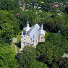
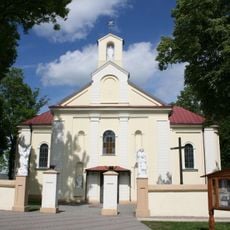
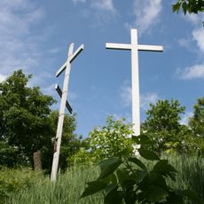
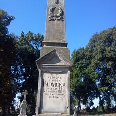
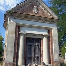
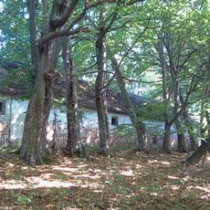
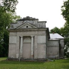
The village had a Jewish community before World War II that was later removed from the region. In the 1920s and 1930s, the Orthodox church disappeared from the village landscape due to government actions against religious structures.
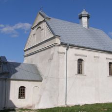
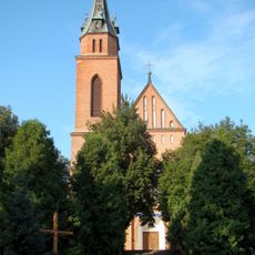
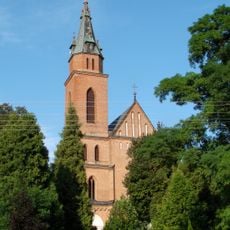
During the late nineteenth century, the village population included Greek Catholics who maintained Ukrainian as their primary language of communication.
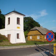
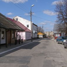
The village is located in a rural area and is best reached by car from nearby towns. Limited visitor facilities are available, so plan accordingly for your visit to the region.
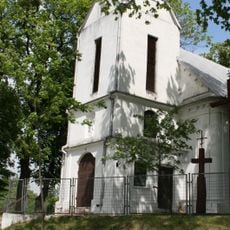
Between 1928 and 1932, the local Orthodox church faced demolition as part of government initiatives to remove Ukrainian religious structures in the region.
The community of curious travelers
AroundUs brings together thousands of curated places, local tips, and hidden gems, enriched daily by 60,000 contributors worldwide.