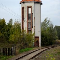
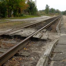
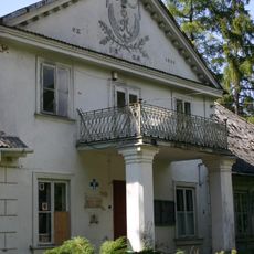
Gmina Tarczyn, Administrative district in Piaseczno County, Poland
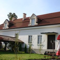
Gmina Tarczyn is an administrative municipality that covers both urban areas and rural settlements across east-central Poland. The territory consists of several villages surrounding the central town of Tarczyn, with forests and farmland forming much of the landscape.
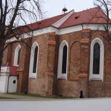
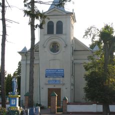
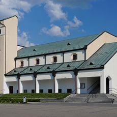
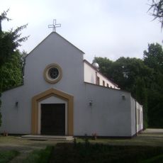
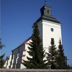
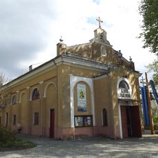
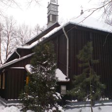
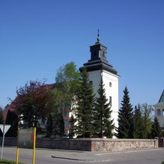
The town of Tarczyn was granted Magdeburg rights and church construction permission in 1353 by Duke Casimir I, marking its development as a regional center. This charter allowed the settlement to grow and establish itself as an important place in the area.
The area maintains traditional Polish village life where local customs are visible in community gatherings and seasonal celebrations. These practices shape how residents connect with each other and their surroundings.
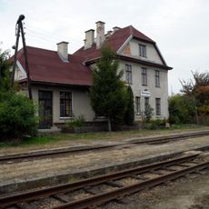
The municipality connects to Warsaw via the S7 highway, making it accessible for both visitors and residents traveling from the capital. The proximity to Warsaw provides convenient access for day trips.
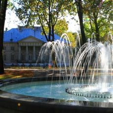
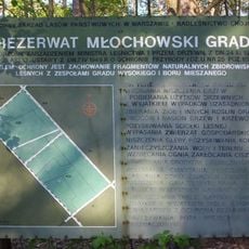
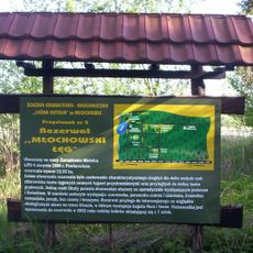
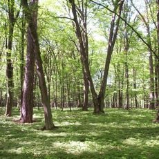
The territory includes sections of Chojnów Landscape Park, a protected area with forests and diverse natural habitats. Visitors can explore woodlands and experience nature away from urban areas.
Location: Powiat piaseczyński
Shares border with: Gmina Grójec, Gmina Lesznowola, Gmina Nadarzyn, Gmina Piaseczno, Gmina Pniewy, Gmina Prażmów, Gmina Żabia Wola
Website: http://tarczyn.pl
GPS coordinates: 51.97861,20.83361
Latest update: December 11, 2025 11:01
Palace in Młochów
8.5 km
Baszkówka
9.2 km
Zespół pałacowo-parkowy w Ojrzanowie
7.7 km
Saint Nicholas church in Tarczyn
211 m
Rezerwat przyrody Młochowski Grąd
7.2 km
Rezerwat przyrody Młochowski Łęg
6.3 km
Kościół św. Franciszka z Asyżu w Prażmowie
9.3 km
Saint Stanislaus Kostka church in Mroków
6.9 km
Our Lady Queen of Poland church in Leśna Polana
5 km
Holy Spirit church in Werdun
7.2 km
Saint Francis of Assisi church in Prażmów
9.3 km
Church of the Annunciation in Żelechów
8.2 km
Oranżeria, ob. kościół
8.4 km
Church of Saint John the Baptist in Rembertów
2.2 km
Rezerwat przyrody Skulski Las
9.9 km
Dworzec kolejowy
2.7 km
Pawilon II
8.4 km
Zespół dworski
9.1 km
Pałac, Ks. Bronisława Markiewicza 4 w Młochowie
8.4 km
Dzwonnica, XVIII/XIX
2.2 km
Pałac w Zalesiu
10.1 km
Wodociągowa wieża ciśnień ze studnią
2.8 km
Perony przydworcowe
2.8 km
Zespół kościoła Zwiastowania NMP
8.2 km
Dwór, Franciszka Ryxa 41 w Prażmowie
9.1 km
Zespół kościoła św. Jana Chrzciciela
2.2 km
Gorzelnia
8.9 km
Magazyn służby drogowej
2.8 kmVisited this place? Tap the stars to rate it and share your experience / photos with the community! Try now! You can cancel it anytime.
Discover hidden gems everywhere you go!
From secret cafés to breathtaking viewpoints, skip the crowded tourist spots and find places that match your style. Our app makes it easy with voice search, smart filtering, route optimization, and insider tips from travelers worldwide. Download now for the complete mobile experience.
A unique approach to discovering new places❞
— Le Figaro
All the places worth exploring❞
— France Info
A tailor-made excursion in just a few clicks❞
— 20 Minutes