Enable Location

We need your location to show you interesting places around you

Discover nearby places

Find interesting locations and hidden gems around you

Precise directions

Get accurate directions and distances to places

Your location is never shared with other users. It's only used when you tap the location button.

Gmina Bogatynia

Log in to your account

Start exploring — it's free

Trusted by 65,427 travelers worldwide

Continue with Google
Continue with Apple
or

We will send you a code to connect

By continuing, you accept our Terms and Conditions and our Privacy Policy

Check your inbox

We've sent a pincode in your inbox. Please enter the code below.

Discussion Reviews 1 Photos
4.5k Popularity

Gmina Bogatynia, Administrative district in Zgorzelec County, Poland.

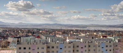
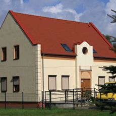
Gmina Bogatynia is an urban-rural municipality in Zgorzelec County, located in the far southwestern corner of Poland where the borders of Poland, the Czech Republic, and Germany meet. It consists of the main town of Bogatynia and a number of smaller villages spread across the surrounding countryside.

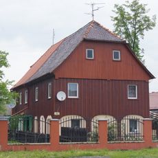
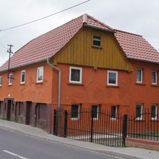
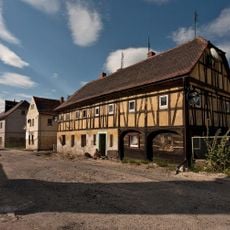
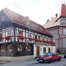
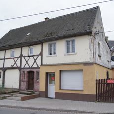
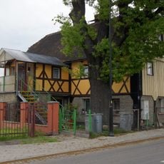
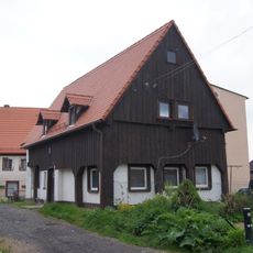
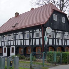
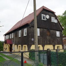
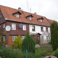
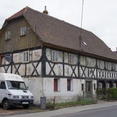
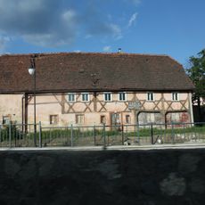
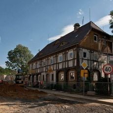
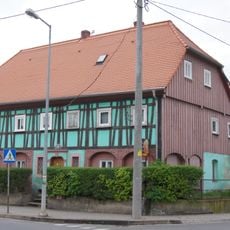
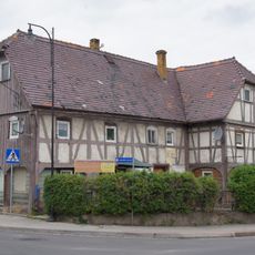
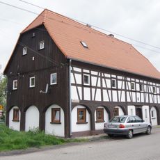
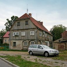
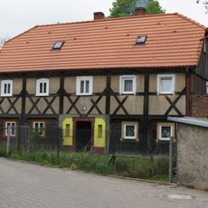
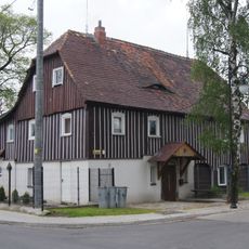
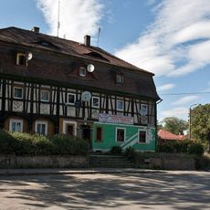
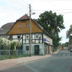
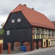
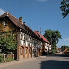
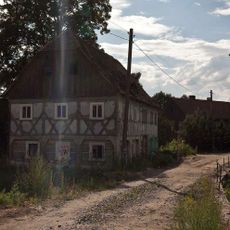
The area was part of Germany until 1945, when it was transferred to Poland following the postwar redrawing of borders. Many of the older buildings and place names in the municipality still carry traces of that earlier period.

Bogatynia sits at the point where Poland, the Czech Republic, and Germany meet, and that mix is visible in everyday life, from shop signs to the faces you see on the street. The border is not a barrier here but a part of daily routine for many residents who cross it regularly for work or shopping.

The municipality is best explored from the town of Bogatynia, which serves as a natural starting point with connections to all the surrounding villages. The nearby border crossings into the Czech Republic and Germany are easy to reach by car and can be combined in a single day.

The municipality is home to the Grady koło Posady nature reserve, which protects a rare type of hornbeam forest that is not found in this form anywhere close by. Visitors with an interest in central European woodland can walk through old-growth trees that have remained largely undisturbed for a long time.

The community of curious travelers

AroundUs brings together thousands of curated places, local tips, and hidden gems, enriched daily by 60,000 contributors worldwide.

Start exploring
Location
Capital city
Bogatynia
Elevation above the sea
191 m
Shares border with
Gmina Zgorzelec
GPS coordinates
50.91667,14.96667
Latest update
March 3, 2026 10:05
Reviews
Share your experience

No review yet

Discussions
Start a discussion...

No discussion yet

« Gmina Bogatynia - Administrative district in Zgorzelec County, Poland » is provided by Around Us (aroundus.com). Images and texts are derived from Wikimedia project under a Creative Commons license. You are allowed to copy, distribute, and modify copies of this page, under the conditions set by the license, as long as this note is clearly visible.

Discover hidden gems everywhere you go!

From secret cafés to breathtaking viewpoints, skip the crowded tourist spots and find places that match your style. Our app makes it easy with voice search, smart filtering, route optimization, and insider tips from travelers worldwide. Download now for the complete mobile experience.

Around Us App Screenshot

A unique approach to discovering new places

Le Figaro

All the places worth exploring

France Info

A tailor-made excursion in just a few clicks

20 Minutes

Around Us
Travel Guide & Maps
Download

Send to your phone

QR Code
1

Open the camera app on your mobile.

2

Point at the QR code with your camera. A notification will appear.

3

Tap the notification to open the link.