Enable Location

We need your location to show you interesting places around you

Discover nearby places

Find interesting locations and hidden gems around you

Precise directions

Get accurate directions and distances to places

Your location is never shared with other users. It's only used when you tap the location button.

Gmina Lutomiersk

Log in to your account

Start exploring — it's free

Trusted by 62,285 travelers worldwide

Continue with Google
Continue with Apple
or

We will send you a code to connect

By continuing, you accept our Terms and Conditions and our Privacy Policy

Check your inbox

We've sent a pincode in your inbox. Please enter the code below.

Gmina Lutomiersk, Administrative division in Pabianice County, Poland

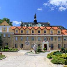
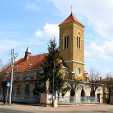
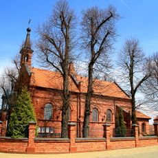
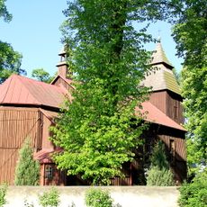
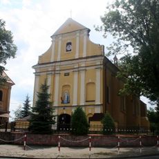
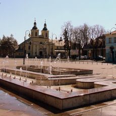
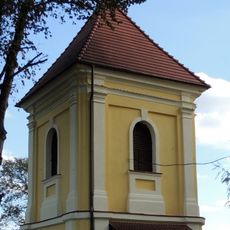
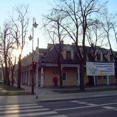
Gmina Lutomiersk is a municipality in Pabianice County comprising several villages spread across central Poland. The administrative center operates from Lutomiersk and serves as the main hub for local government services and community functions throughout this rural area.

Gmina Lutomiersk was established in its current form as an administrative unit following the Second World War. The structure reflects the reorganization of local governance in central Poland during that postwar period.

Residents of Gmina Lutomiersk maintain agricultural traditions through seasonal festivals and community gatherings that strengthen local identity and social bonds.

Visitors can reach the administrative office in Lutomiersk, located about 20 kilometers west of Łódź, which handles main local services. The area is primarily rural and best explored by private transportation or arranged transport.

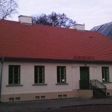
The water management system in Gmina Lutomiersk operates through a central treatment station in Szydłów, serving multiple villages across the administrative territory.

The community of curious travelers

AroundUs brings together thousands of curated places, local tips, and hidden gems, enriched daily by 60,000 contributors worldwide.

Start exploring
Location
Capital city
Lutomiersk
Shares border with
Gmina Aleksandrów Łódzki, Gmina Dalików, Konstantynów Łódzki, Gmina Pabianice, Gmina Poddębice, Gmina Wodzierady, Gmina Łask
GPS coordinates
51.75000,19.20000
Latest update
December 11, 2025 18:02
Around this place
Nature reserve Torfowisko Rąbień
Poland

Nature reserve Torfowisko Rąbień

9.1 km
Saint Stanislaus Kostka church in Aleksandrów Łódzki
Poland

Saint Stanislaus Kostka church in Aleksandrów Łódzki

10.6 km
Lutomiersk Monastery
Poland

Lutomiersk Monastery

1.4 km
Church of the Nativity of the Virgin Mary in Konstantynów Łódzki
Poland

Church of the Nativity of the Virgin Mary in Konstantynów Łódzki

8.7 km
Church of the Visitation of the Blessed Virgin Mary in Konstantynów Łódzki
Poland

Church of the Visitation of the Blessed Virgin Mary in Konstantynów Łódzki

11 km
Town hall in Aleksandrów Łódzki
Poland

Town hall in Aleksandrów Łódzki

10.5 km
Manor in Wodzierady
Poland

Manor in Wodzierady

5.1 km
Saint Joseph the Worker Church in Konstantynów Łódzki
Poland

Saint Joseph the Worker Church in Konstantynów Łódzki

8.2 km
Church of the Nativity of the Virgin Mary in Mikołajewice
Poland

Church of the Nativity of the Virgin Mary in Mikołajewice

2.8 km
Church of Our Lady of the Scapular and Saint Valentine in Lutomiersk
Poland

Church of Our Lady of the Scapular and Saint Valentine in Lutomiersk

852 m
All Saints church in Bełdów
Poland

All Saints church in Bełdów

8.7 km
Church of Saint John the Baptist in Kazimierz
Poland

Church of Saint John the Baptist in Kazimierz

2 km
Saints Raphael and Michael Archangel church in Aleksandrów Łódzki
Poland

Saints Raphael and Michael Archangel church in Aleksandrów Łódzki

10.5 km
Willa Steinerta
Poland

Willa Steinerta

7.8 km
Kościół
Poland

Kościół

841 m
Kościuszki Square in Aleksandrów Łódzki
Poland

Kościuszki Square in Aleksandrów Łódzki

10.5 km
Bell tower of Church of Our Lady of the Scapular and Saint Valentine in Lutomiersk
Poland

Bell tower of Church of Our Lady of the Scapular and Saint Valentine in Lutomiersk

858 m
Cemetery chapel in Bełdów
Poland

Cemetery chapel in Bełdów

8 km
Kościół św. Mikołaja w Kwiatkowicach
Poland

Kościół św. Mikołaja w Kwiatkowicach

6.1 km
Immaculate Conception church in Lutomiersk
Poland

Immaculate Conception church in Lutomiersk

1.4 km
Mensa carnifiucium in Aleksandrów Łódzki
Poland

Mensa carnifiucium in Aleksandrów Łódzki

10.5 km
Manor in Zgniłe Błoto
Poland

Manor in Zgniłe Błoto

6.7 km
Library in Aleksandrów Łódzki
Poland

Library in Aleksandrów Łódzki

10.5 km
Dzwonnica w Kwiatkowicach
Poland

Dzwonnica w Kwiatkowicach

6.1 km
Church of Saint Nicholas in Kwiatkowice
Poland

Church of Saint Nicholas in Kwiatkowice

6.1 km
Villa and Park in Porszewice
Poland

Villa and Park in Porszewice

7.8 km
Kościół reformatów w Lutomiersku
Poland

Kościół reformatów w Lutomiersku

1.4 km
Dwór
Poland

Dwór

6.7 km
Show the full map
« Gmina Lutomiersk - Administrative division in Pabianice County, Poland » is provided by Around Us (aroundus.com). Images and texts are derived from Wikimedia project under a Creative Commons license. You are allowed to copy, distribute, and modify copies of this page, under the conditions set by the license, as long as this note is clearly visible.

Discover hidden gems everywhere you go!

From secret cafés to breathtaking viewpoints, skip the crowded tourist spots and find places that match your style. Our app makes it easy with voice search, smart filtering, route optimization, and insider tips from travelers worldwide. Download now for the complete mobile experience.

Around Us App Screenshot

A unique approach to discovering new places

Le Figaro

All the places worth exploring

France Info

A tailor-made excursion in just a few clicks

20 Minutes

Around Us
Travel Guide & Maps
Download

Send to your phone

QR Code
1

Open the camera app on your mobile.

2

Point at the QR code with your camera. A notification will appear.

3

Tap the notification to open the link.