
Żłobek, Podkarpackie Voivodeship, village in Subcarpathian, Poland
Location: Gmina Czarna, Bieszczady County
GPS coordinates: 49.34610,22.68250
Latest update: March 4, 2025 06:03
Sanctuary in Ustrzyki Dolne
9.8 km
Church of Saint Michael Archangel in Bystre
4.3 km
Greek Catholic church in Hoszów
5.8 km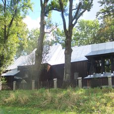
Greek Catholic church in Czarna
2.5 km
Saint John the Baptist church in Michniowiec
6.6 km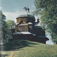
Church of Saint Michael Archangel in Lutowiska
10.9 km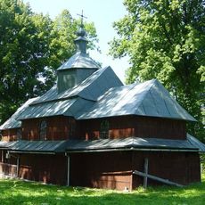
Saint Nicholas church in Rabe
2.7 km
Verkhniodnistrovski Beskids Landscape Park
7.6 km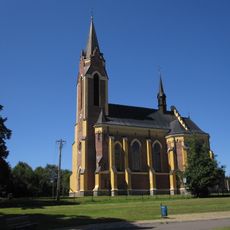
Saint Stanislaus church in Lutowiska
10.2 km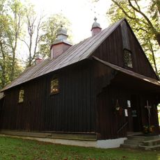
Saint Nicholas church in Polana
9.2 km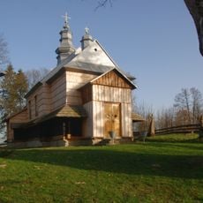
Saint Nicholas church in Jałowe
7 km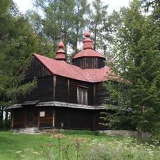
Immaculate Conception church in Moczary
4.3 km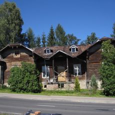
WOP post in Lutowiska
10.5 km
Gromadzyń
10.3 km
Synagogue in Lutowiska
10.6 km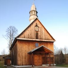
Cerkiew św. Michała Archanioła w Bandrowie Narodowym
5.1 km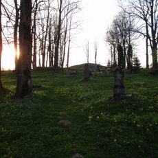
Old catholic cemetery in Lutowiska
10.9 km
Cerkiew Soboru Bogurodzicy w Lipiu
5.2 km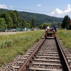
Bieszczadzkie Drezyny Rowerowe
11.2 km
Greek Catholic Church in Równia
9.4 km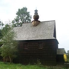
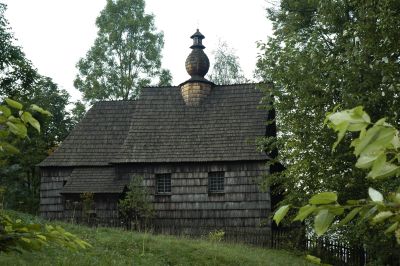
Greek Catholic church in Żłobek
98 m
Church of the Nativity of the Virgin Mary in Hoszowczyk
6.9 km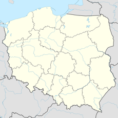
Łabiska
9.4 km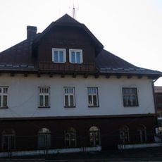
Budynek mieszkalno-administracyjny
10.7 km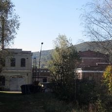
Zespół zabudowań rafinerii nafty „Fanto” w Ustrzykach Dolnych
10.7 km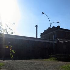
Hala fabryczna II
10.7 km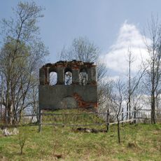
Dzwonnica w Lipiu
5.2 km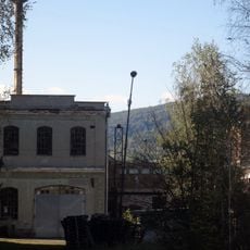
Hala fabryczna III
10.7 kmVisited this place? Tap the stars to rate it and share your experience / photos with the community! Try now! You can cancel it anytime.
Discover hidden gems everywhere you go!
From secret cafés to breathtaking viewpoints, skip the crowded tourist spots and find places that match your style. Our app makes it easy with voice search, smart filtering, route optimization, and insider tips from travelers worldwide. Download now for the complete mobile experience.

A unique approach to discovering new places❞
— Le Figaro
All the places worth exploring❞
— France Info
A tailor-made excursion in just a few clicks❞
— 20 Minutes