Chełmo Hill, Forested hill in Radomsko County, Poland.
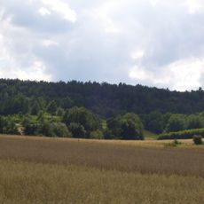
Chełmo Hill is a forested elevation in Radomsko County that rises to approximately 323 meters above sea level. The terrain is covered with dense woodlands and ranks among the higher elevations in the area.
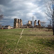
Excavations in the 1950s uncovered ceramic fragments from the 10th to 12th centuries, pointing to permanently inhabited structures. These discoveries show that the location played an important role in settlement patterns across several centuries.
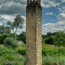
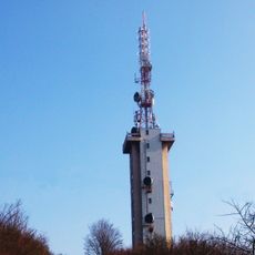
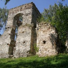
The hill bears traces of human settlement from different periods, including ancient defensive walls and a concrete pedestal from later times. These remains tell the story of how people have been connected to this location across the centuries.
Access is available from the northern side, where a clearing provides parking space and a trail of about 3 kilometers leads through forest to the summit. The walk is manageable if you have basic orientation skills and wear sturdy footwear.
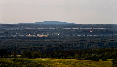
On clear days, the southern slope offers views toward the Kraków-Częstochowa Upland, and under exceptional conditions, the Tatra Mountains have been photographically documented from this vantage point. This makes the location a surprisingly far-reaching viewpoint for such a modest elevation.
The community of curious travelers
AroundUs brings together thousands of curated places, local tips, and hidden gems, enriched daily by 60,000 contributors worldwide.