
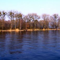
Białodrzew Kopicki, protected area in Poland
Location: Gmina Stepnica
Inception: 1985
GPS coordinates: 53.70060,14.54080
Latest update: March 7, 2025 05:08
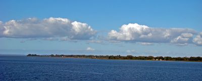
Wyspa Refulacyjna
4.7 km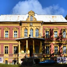
Palace in Karszno
15.3 km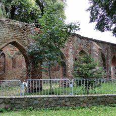
Monastery in Police
12.1 km
Church of Saints Peter and Paul in Police
12.1 km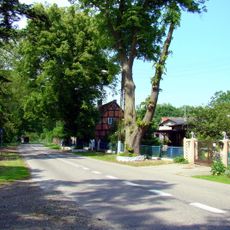
Karszno
15.1 km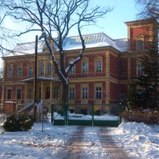
WOP post in Karszno-Nowe Warpno
15.3 km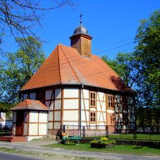
Church of the Nativity of the Virgin Mary in Niekłończyca
9.4 km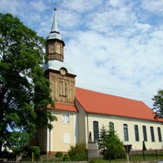
Exaltation of the Holy Cross church in Trzebież
4.9 km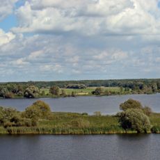
Długi Ostrów
15.1 km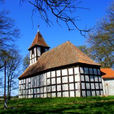
Our Lady of Częstochowa church in Warnołęka
11.8 km
Piaskowa Góra (Równina Wkrzańska)
13.8 km
Gołogóra
15 km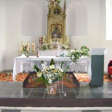
Our Lady of Częstochowa church in Koniewo
14 km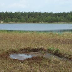
Piaszynko
14.3 km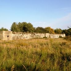
Police - kanały
15.3 km
Wydrza Góra (Kamień County)
14.3 km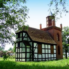
Saint Hubertus church in Karszno
15.2 km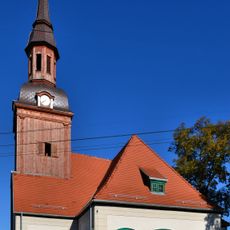
Saint Hyacinth church in Stepnica
7.5 km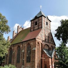
Kościół, ob. śś. Apostołów Piotra i Pawła, XIV/XV
12 km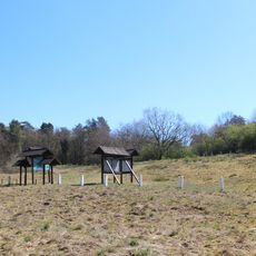
Hangman's Hill
15 km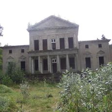
Pałac w Brzózkach
8.4 km
Ruina klasztoru, Zatoka 2 w Policach
12.1 km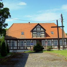
Pastorówka, ob. plebania
4.9 km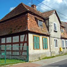
Rybacka 5
4.8 km
Rezerwat przyrody Olszanka (województwo zachodniopomorskie)
10.6 km
Zespół leśniczówki
13.9 km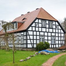
Leśniczówka
13.9 km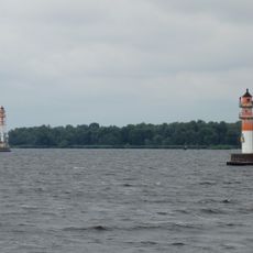
Krępa range lights
11.3 kmReviews
Visited this place? Tap the stars to rate it and share your experience / photos with the community! Try now! You can cancel it anytime.
Discover hidden gems everywhere you go!
From secret cafés to breathtaking viewpoints, skip the crowded tourist spots and find places that match your style. Our app makes it easy with voice search, smart filtering, route optimization, and insider tips from travelers worldwide. Download now for the complete mobile experience.

A unique approach to discovering new places❞
— Le Figaro
All the places worth exploring❞
— France Info
A tailor-made excursion in just a few clicks❞
— 20 Minutes