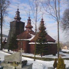
Jaworze, Mountain summit in Lesser Poland Voivodeship, Poland
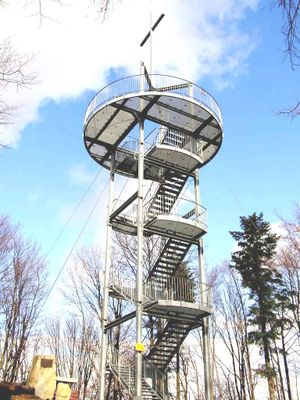
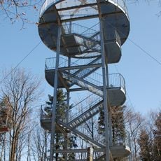
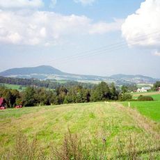
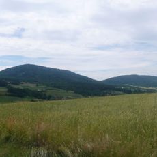
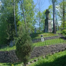
Jaworze is a mountain in the Carpathian range in Lesser Poland Voivodeship that rises to 882 meters above sea level. The summit offers views over the surrounding mountain landscape and can be reached via marked hiking trails.
The mountain takes its name from the Polish word for maple, referencing the tree species that have grown on these slopes for centuries. This connection to natural vegetation shows how local ecology shaped the naming of the landscape.
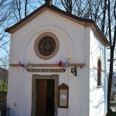
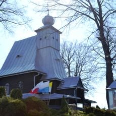
The walking routes around the peak connect different local communities and serve as a gathering point for people exploring the Carpathian landscape on foot.
The climb follows the well-marked T1 hiking trail with clear signage and maintained paths from the starting point to the peak. The route varies in difficulty depending on weather and season, so appropriate equipment and hiking experience are advisable.
The peak ranks among the most elevated mountains of the region and allows hikers to gain a broad view across the Carpathian chains and valleys. From this vantage point, the geological structures and formations of the surrounding area become particularly visible.
GPS coordinates: 49.57481,20.91287
Latest update: December 12, 2025 14:20
Browar Grybów
5.4 km
Saint Catherine church in Grybów
6.1 km
Jaworze
11 m
Chełm
6.6 km
Rosochatka
7 km
Muzeum Pszczelarstwa w Kamiannej
5.9 km
All Saints church in Ptaszkowa
4.6 km
Saint Demetrius church in Binczarowa
3.1 km
Saint Demetrius church in Bogusza
2 km
Synagoge
6.1 km
World War I Cemetery nr 130 in Grybów
5.9 km
Church of the Pokrov in Łabowa
6.7 km
Saints Peter and Paul chapel in Grybów
2.7 km
Nativity of the Virgin Mary church in Kamianna
5.8 km
Sacred Heart church in Florynka
5.7 km
Church of the Pokrov in Maciejowa
7.5 km
Church of Saint Adalbert in Kąclowa
4.4 km
Church of the Nativity of the Virgin Mary in Królowa Górna
5.2 km
Muzeum Parafialne w Grybowie
6.1 km
World War I Cemetery nr 144 in Królowa Polska
6.9 km
Church of the Pokrov in Wawrzka
6.8 km
Church of Saint Demetrius of Thessaloniki in Bogusza
2.1 km
Old rectory in Grybów
6.2 km
Town hall in Grybów
6.1 km
Kaplica Męki Pańskiej w Grybowie
6.2 km
Sacred heart chapel Grybów Podchełmie
6.8 km
Synagoga, ob. opuszczona
6.1 km
Budynek Towarzystwa Gimnastycznego Sokół w zakresie zewnętrznej architektury wraz z dolną częścią klatki schodowej
6 kmVisited this place? Tap the stars to rate it and share your experience / photos with the community! Try now! You can cancel it anytime.
Discover hidden gems everywhere you go!
From secret cafés to breathtaking viewpoints, skip the crowded tourist spots and find places that match your style. Our app makes it easy with voice search, smart filtering, route optimization, and insider tips from travelers worldwide. Download now for the complete mobile experience.
A unique approach to discovering new places❞
— Le Figaro
All the places worth exploring❞
— France Info
A tailor-made excursion in just a few clicks❞
— 20 Minutes