
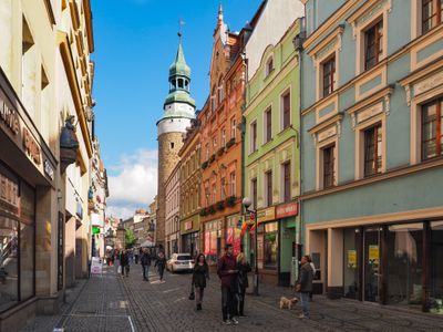
Układ urbanistyczny południowego przedmieścia, rejon ulic: Bankowa, Wojska Polskiego, 1 Maja, Wolności
Układ urbanistyczny południowego przedmieścia, rejon ulic: Bankowa, Wojska Polskiego, 1 Maja, Wolności, Pools monument in Jelenia Góra
Location: Jelenia Góra
Inception: 1930
GPS coordinates: 50.90070,15.73787
Latest update: March 4, 2025 05:39
Cyprian Kamil Norwid Theatre
148 m
Saint Anne chapel in Jelenia Góra
230 m
Wojanów tower and gate
233 m
21 Konopnickiej Street in Jelenia Góra
253 m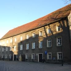
Plebania
279 m
48 Wojska Polskiego Avenue, Jelenia Góra
266 m
Willa przy ul. Grabowskiego 7 w Jeleniej Górze
235 m
8 Szkolna Street in Jelenia Góra
217 m
6 Konopnickiej Street in Jelenia Góra
234 m
Zamenhofa 1
217 m
1 Maja 8
250 m
Zespół willi przy ul. Grabowskiego 7 w Jeleniej Górze
235 m
8 Konopnickiej Street in Jelenia Góra
233 m
5 Piłsudskiego Street in Jelenia Góra
207 m
3 Konopnickiej Street in Jelenia Góra
279 m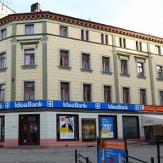
1 Maja 10
266 m
24-26 Sudecka Street in Jelenia Góra
271 m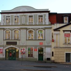
Dom z łącznikiem
271 m
Ogród
235 m
10 Konopnickiej Street in Jelenia Góra
231 m
Kamienica, ob. bank
195 m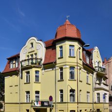
Zamenhofa 2
204 m
Zamenhofa 3
228 m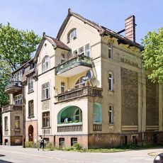
Zamenhofa 4
223 m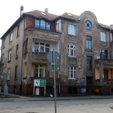
Zamenhofa 5
249 m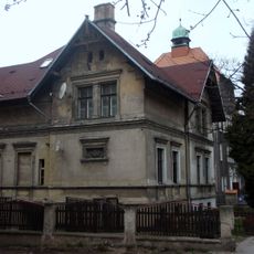
Armii Krajowej 9
209 m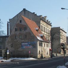
31 Sudecka Street, Jelenia Góra
258 m
Dawny Młodzieżowy Dom Kultury
136 mVisited this place? Tap the stars to rate it and share your experience / photos with the community! Try now! You can cancel it anytime.
Discover hidden gems everywhere you go!
From secret cafés to breathtaking viewpoints, skip the crowded tourist spots and find places that match your style. Our app makes it easy with voice search, smart filtering, route optimization, and insider tips from travelers worldwide. Download now for the complete mobile experience.

A unique approach to discovering new places❞
— Le Figaro
All the places worth exploring❞
— France Info
A tailor-made excursion in just a few clicks❞
— 20 Minutes