Enable Location

We need your location to show you interesting places around you

Discover nearby places

Find interesting locations and hidden gems around you

Precise directions

Get accurate directions and distances to places

Your location is never shared with other users. It's only used when you tap the location button.

Jelenia Góra

Log in to your account

Start exploring — it's free

Trusted by 62,291 travelers worldwide

Continue with Google
Continue with Apple
or

We will send you a code to connect

By continuing, you accept our Terms and Conditions and our Privacy Policy

Check your inbox

We've sent a pincode in your inbox. Please enter the code below.

Jelenia Góra, Administrative center in Lower Silesian Voivodeship, Poland

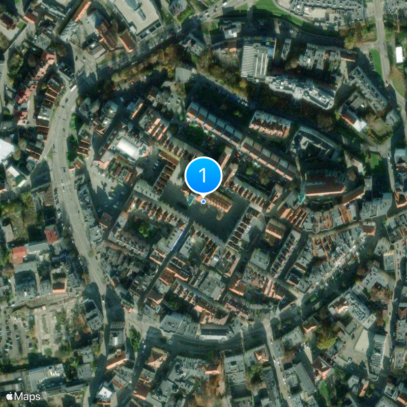
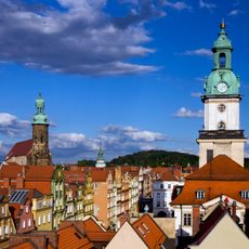
Jelenia Góra is an administrative center in the Lower Silesian Voivodeship in southwestern Poland, stretching across a valley between two mountain ranges. This city sits at an elevation of 352 meters and connects a planned old town with modern districts along the valley edges.

This settlement received city rights in 1288 under Polish rule and quickly developed into an important hub for long-distance trade between central Europe and the east. Later, changing rulers shaped its built form, especially after the Thirty Years' War and during the 19th century.

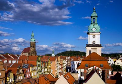
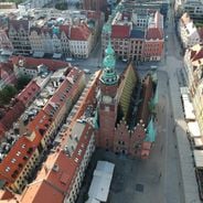
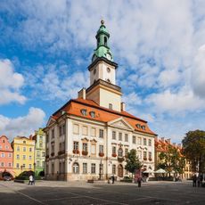
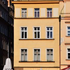
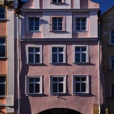
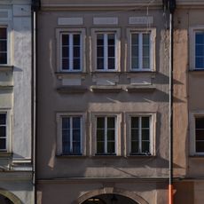
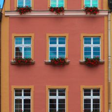
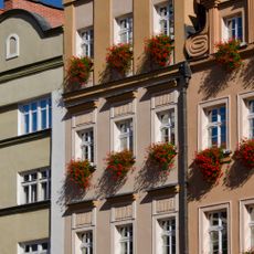
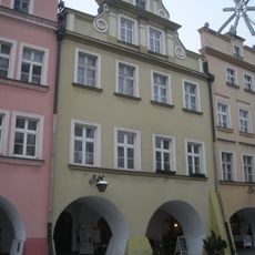
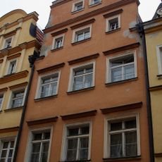
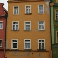
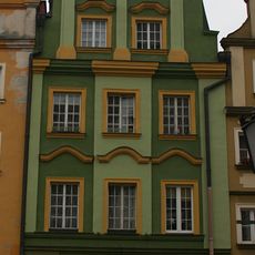
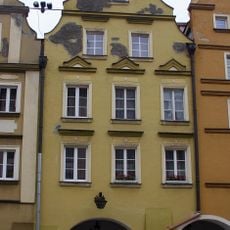
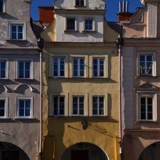
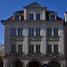
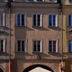
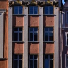
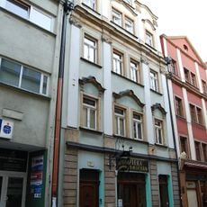
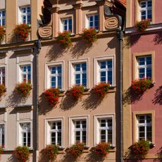
The central marketplace shows buildings with different facades that reflect civic wealth, while arcades along the square today house cafés and small shops. Visitors see baroque gables and portals that document the influence of Silesian builders from the early modern period.

This city is connected by rail directly with Wrocław and serves as a base for trips into the Karkonosze National Park throughout the year. Those planning to head into the mountains will find accommodation and information points here before entering the upland.

Archaeological excavations uncovered cemeteries of the Lusatian culture, documenting continuous settlement in this area since the late Bronze Age. These sites now lie hidden beneath modern streets and buildings.

The community of curious travelers

AroundUs brings together thousands of curated places, local tips, and hidden gems, enriched daily by 60,000 contributors worldwide.

Start exploring
Elevation above the sea
352.74 m
Shares border with
Špindlerův Mlýn, Karkonosze County
Address
Jelenia Góra, Poland
GPS coordinates
50.90310,15.73443
Latest update
January 6, 2026 12:52
Visit Silesia and the Sudeten: medieval castles, mountains and old towns

Silesia and the Sudeten Mountains in the southwest of Poland include old towns, wooded mountains, and signs of a rich past. You see Wroclaw with its large market square surrounded by colorful houses, Tumski Island with brick churches, and the Raclawice Panorama which shows a circular painting of a...

« Jelenia Góra - Administrative center in Lower Silesian Voivodeship, Poland » is provided by Around Us (aroundus.com). Images and texts are derived from Wikimedia project under a Creative Commons license. You are allowed to copy, distribute, and modify copies of this page, under the conditions set by the license, as long as this note is clearly visible.

Discover hidden gems everywhere you go!

From secret cafés to breathtaking viewpoints, skip the crowded tourist spots and find places that match your style. Our app makes it easy with voice search, smart filtering, route optimization, and insider tips from travelers worldwide. Download now for the complete mobile experience.

Around Us App Screenshot

A unique approach to discovering new places

Le Figaro

All the places worth exploring

France Info

A tailor-made excursion in just a few clicks

20 Minutes

Around Us
Travel Guide & Maps
Download

Send to your phone

QR Code
1

Open the camera app on your mobile.

2

Point at the QR code with your camera. A notification will appear.

3

Tap the notification to open the link.