Lower Silesian Voivodeship, Administrative region in southwestern Poland
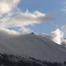
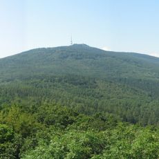
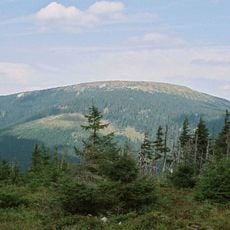
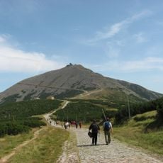
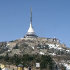
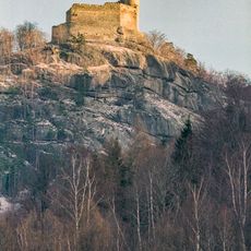
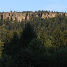
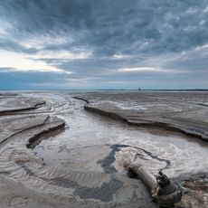
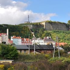
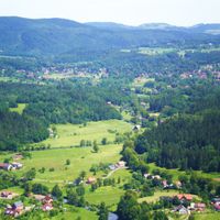
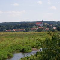
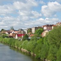
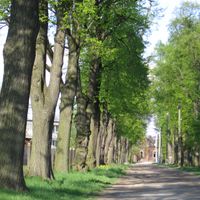
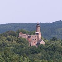
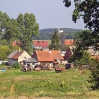
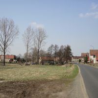
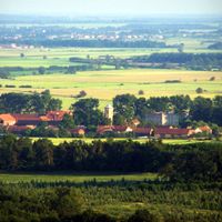
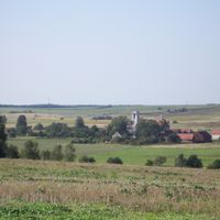
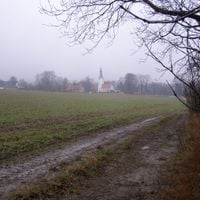
Lower Silesian Voivodeship is a region covering much of southwestern Poland, with mountain ranges, forests, historic towns, and large protected areas. The landscape shifts between rolling hills, dense woodlands, and rocky summits that shape the appearance of the entire territory.
After World War II, the population composition changed fundamentally when German residents left the area and Polish families from eastern territories arrived. This shift shaped the identity and social fabric of the region up to the present day.
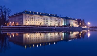
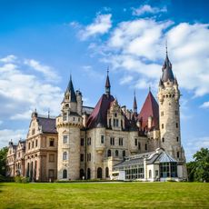
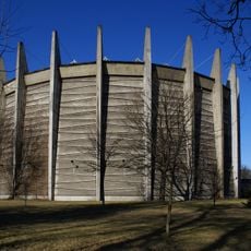
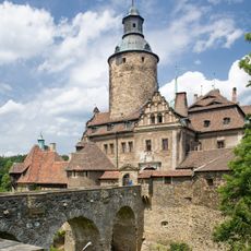
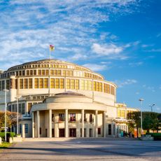
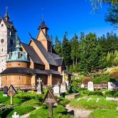
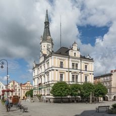
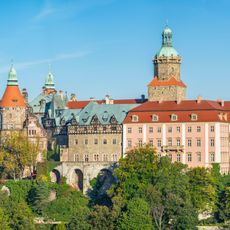
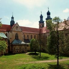
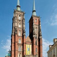
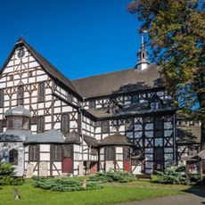
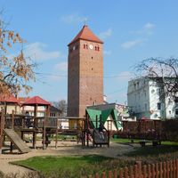
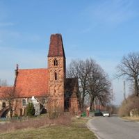
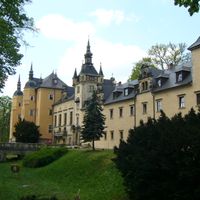
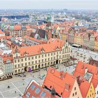
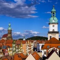
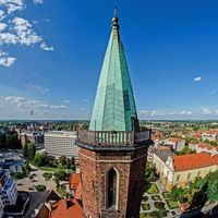
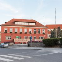
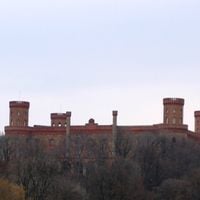
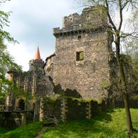
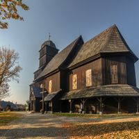
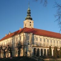
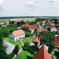
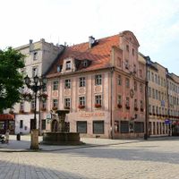
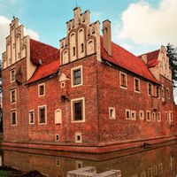
Architecture throughout the area shows Polish, German, and Czech building traditions, visible in town squares, churches, and manor houses. Many communities preserve centuries-old crafts such as glassmaking and pottery, which visitors can observe in small workshops.
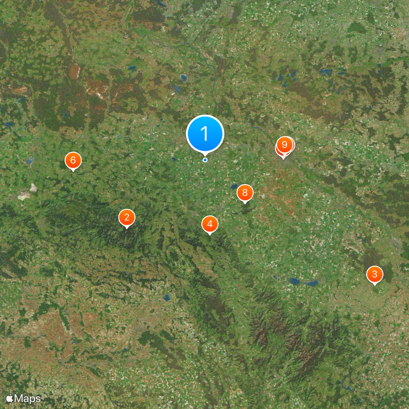
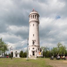
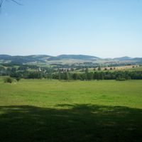
Several mountain passes and hiking trails connect valleys and settlements, with higher elevations often limited in winter. Information centers in larger towns provide guidance on routes, shelters, and regional highlights.
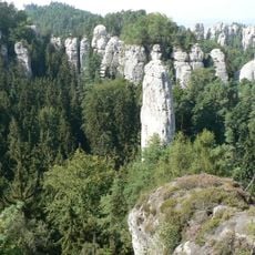
Hidden springs in the mountains have been sought by hikers for centuries and are known for their particularly pure water. Some of these springs feed small streams that wind through narrow rock crevices and only become visible further down.
The community of curious travelers
AroundUs brings together thousands of curated places, local tips, and hidden gems, enriched daily by 60,000 contributors worldwide.