Góra County, Administrative district in Lower Silesian Voivodeship, Poland
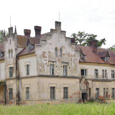
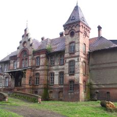
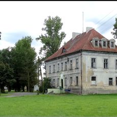
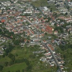
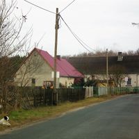
Góra County is an administrative district in Lower Silesian Voivodeship in southwestern Poland covering about 738 square kilometers. It contains two towns and several rural communes with agriculture as the primary land use.
The county was created in 1999 through sweeping local government reforms that reorganized Poland's administrative structure after the Soviet period ended. This restructuring was part of a broader national effort to decentralize power and modernize governance.
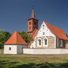
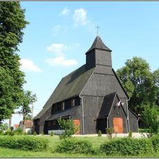
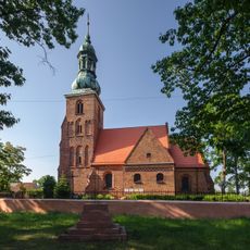
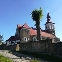
Local markets and seasonal celebrations are central to daily life in the villages here, showcasing traditions that have been passed down through generations in this farming region. These gatherings bring communities together and reflect the values of rural Polish life.
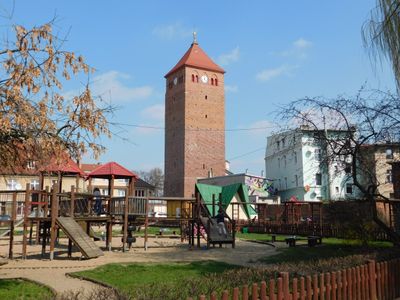
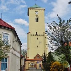
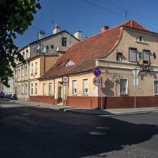
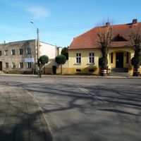
Góra town serves as the administrative hub and connects to larger cities through regional roads that facilitate travel throughout the area. Visit during local market days and village festivals to experience the district when its communities are most active.
The area is divided into four distinct gminas, each cultivating different agricultural products that supply local and regional markets. This specialized arrangement shows how rural communities leverage their land and resources to build sustainable local networks.
Location: Lower Silesian Voivodeship
Capital city: Góra
Shares border with: Leszno County, Rawicz County, Trzebnica County, Wołów County, Lubin County, Głogów County, Wschowa County
Website: http://powiatgora.pl
GPS coordinates: 51.66667,16.55000
Latest update: December 10, 2025 16:03
Palace in Glinka
4.7 km
Czernina Castle
7.6 km
Góra Castle
909 m
Palace in Osetno
7.2 km
Palace in Ligota
5.5 km
Palace in Kłoda Górowska
2.6 km
Church of St. Catherine in Góra
605 m
Czernina Dolna Castle
7.3 km
Palace in Brzeżany
7.2 km
Saint Martin church in Glinka
5.1 km
Palace in Jastrzębia
4.7 km
Dwór we Wronińcu
7.1 km
Kościół św. Michała Archanioła w Osetnie
7.1 km
Church of the Immaculate Conception in Giżyn
7 km
Saint Lawrence church in Czernina
7.5 km
Saint James church in Stara Góra
2.4 km
Manor in Wroniniec
7.8 km
Windmill in Zawieścice
3.4 km
Protestant church in Wroniniec
7.7 km
Chapel in Sławęcice
4.1 km
Budynek mieszkalno-inwentarski
7.1 km
Zespół pałacowo-folwarczny Kłoda Mała
3.1 km
19 Starogórska Street in Góra
1 km
17 Starogórska Street in Góra
1 km
Szkoła katolicka, ob. podstawowa nr 3 im. W. Broniewskiego
753 m
Głogów Tower in Góra
934 m
Pałac
3 km
Zespół budowlany i założenie urbanistyczne, 1289
778 mVisited this place? Tap the stars to rate it and share your experience / photos with the community! Try now! You can cancel it anytime.
Discover hidden gems everywhere you go!
From secret cafés to breathtaking viewpoints, skip the crowded tourist spots and find places that match your style. Our app makes it easy with voice search, smart filtering, route optimization, and insider tips from travelers worldwide. Download now for the complete mobile experience.
A unique approach to discovering new places❞
— Le Figaro
All the places worth exploring❞
— France Info
A tailor-made excursion in just a few clicks❞
— 20 Minutes