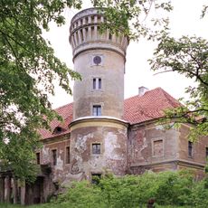
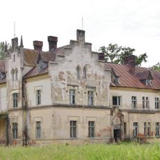
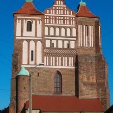
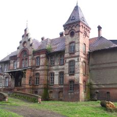
Gmina Góra, Administrative district in Góra County, Poland
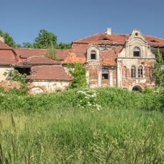
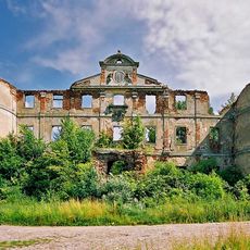
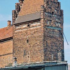
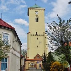
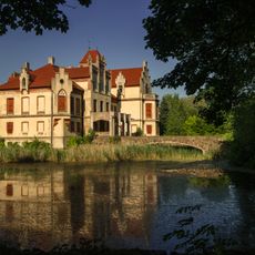
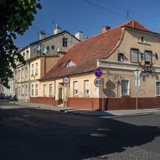
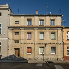
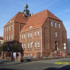
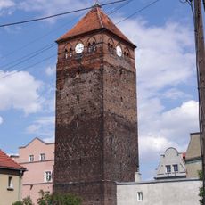
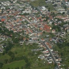
Gmina Góra is an administrative unit in Lower Silesian Voivodeship spanning about 269 square kilometers of mixed urban and rural land. The district consists of the town of Góra as its administrative center and surrounding villages linked by roads and local connections.
The district took its current form through Poland's 1999 local government reforms, when the country reorganized its territorial structure. This restructuring created a unified administrative unit linking the town with its rural surroundings.
The district blends town life with village rhythms, where local markets and community events draw both urban residents and farming families together. People across the area share customs rooted in the region's mix of commercial and agricultural traditions.
Visiting the area works best during daylight hours when local services and public facilities are open. The terrain is relatively flat and easy to navigate on foot or by local transport.
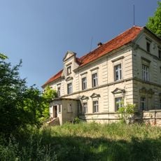
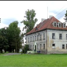
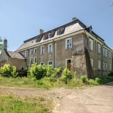
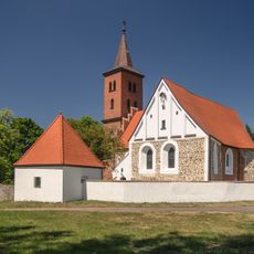
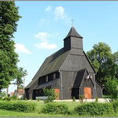
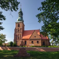
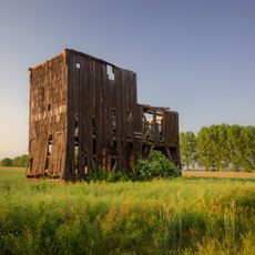
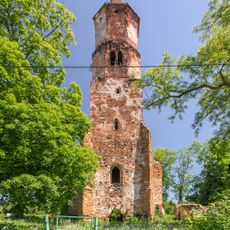
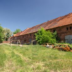
The district is built as a hybrid of fully urban core and classical rural settlement patterns, reflecting the complex administration of modern Polish territories. This duality means visitors can see both town development and traditional countryside within the same administrative boundaries.
Location: Góra County
Capital city: Góra
Shares border with: Gmina Jemielno, Gmina Niechlów, Gmina Wschowa, Gmina Święciechowa, Gmina Rydzyna, Gmina Bojanowo, Gmina Wąsosz
Website: http://gora.com.pl
GPS coordinates: 51.66667,16.55000
Latest update: December 11, 2025 11:08
Palace in Glinka
4.7 km
Czernina Castle
7.6 km
Góra Castle
909 m
Palace in Osetno
7.2 km
Palace in Ligota
5.5 km
Palace in Kłoda Górowska
2.6 km
Church of St. Catherine in Góra
605 m
Czernina Dolna Castle
7.3 km
Palace in Brzeżany
7.2 km
Saint Martin church in Glinka
5.1 km
Palace in Jastrzębia
4.7 km
Dwór we Wronińcu
7.1 km
Kościół św. Michała Archanioła w Osetnie
7.1 km
Church of the Immaculate Conception in Giżyn
7 km
Saint Lawrence church in Czernina
7.5 km
Saint James church in Stara Góra
2.4 km
Manor in Wroniniec
7.8 km
Windmill in Zawieścice
3.4 km
Protestant church in Wroniniec
7.7 km
Chapel in Sławęcice
4.1 km
Budynek mieszkalno-inwentarski
7.1 km
Zespół pałacowo-folwarczny Kłoda Mała
3.1 km
19 Starogórska Street in Góra
1 km
17 Starogórska Street in Góra
1 km
Szkoła katolicka, ob. podstawowa nr 3 im. W. Broniewskiego
753 m
Głogów Tower in Góra
934 m
Pałac
3 km
Zespół budowlany i założenie urbanistyczne, 1289
778 mVisited this place? Tap the stars to rate it and share your experience / photos with the community! Try now! You can cancel it anytime.
Discover hidden gems everywhere you go!
From secret cafés to breathtaking viewpoints, skip the crowded tourist spots and find places that match your style. Our app makes it easy with voice search, smart filtering, route optimization, and insider tips from travelers worldwide. Download now for the complete mobile experience.
A unique approach to discovering new places❞
— Le Figaro
All the places worth exploring❞
— France Info
A tailor-made excursion in just a few clicks❞
— 20 Minutes