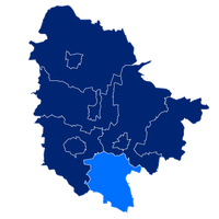
Trzebnica County, Administrative district in Lower Silesian Voivodeship, Poland
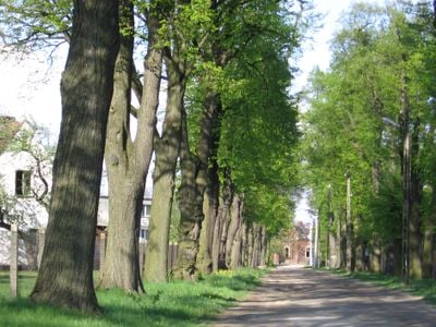
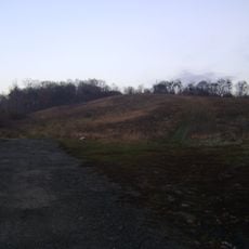
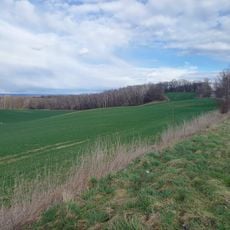
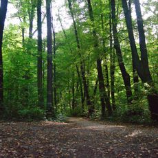
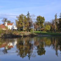
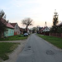
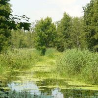
Trzebnica County is an administrative district in Lower Silesian Voivodeship located north of Wrocław. The area includes several towns and villages connected by road networks and characterized by hilly terrain in parts of the region.
The area was part of Prussia until 1945, then became Polish territory after World War II. The current administrative boundaries were established in 1999 during Poland's regional administrative reform.
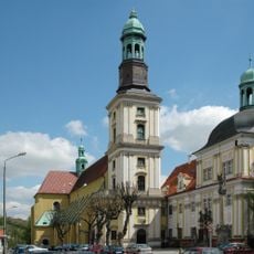
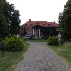
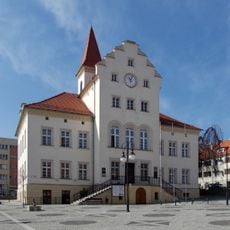
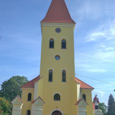
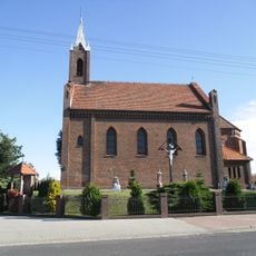
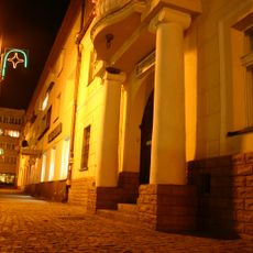
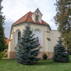
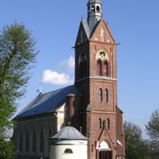
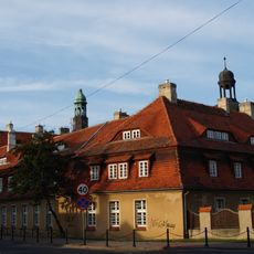
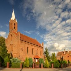
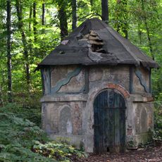
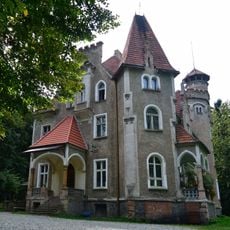
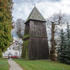
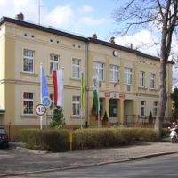
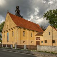
The region is shaped by its various towns, each with their own local customs and ways of celebrating community life. Visitors can observe these differences in the architecture, public spaces, and how people go about their daily routines in different parts of the county.
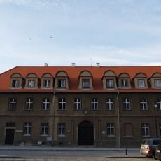
The area is best explored by car or local bus, as distances between towns can be significant. The main towns like Trzebnica and Oborniki Śląskie are well-connected and serve as good starting points for exploring the region.
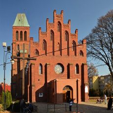
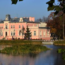
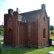
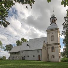
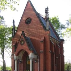
The area was historically home to important royal figures, whose monuments can still be found in local churches and monasteries today. This connection to medieval monarchy makes the region particularly meaningful for those interested in that historical period.
Location: Lower Silesian Voivodeship
Capital city: Trzebnica
Shares border with: Milicz County, Oleśnica County, Środa Śląska County, Góra County, Wołów County, Wrocław County, Rawicz County, Wrocław
Website: http://powiat.trzebnica.net
GPS coordinates: 51.30500,17.06139
Latest update: December 10, 2025 16:03
Sanctuary of St. Jadwiga in Trzebnica
592 m
Trzebnicki Park Wodny "Zdrój"
935 m
Church of the Fourteen Holy Helpers, Trzebnica
1.4 km
Weinberg
1.2 km
Saints Peter and Paul church in Trzebnica
262 m
8 Bochenka Street in Trzebnica
1 m
Muzeum Kultu św. Jadwigi Śląskiej w Trzebnicy
627 m
Palace in Machnice
3.6 km
Muzeum Regionalne Towarzystwa Miłośników Ziemi Trzebnickiej w Trzebnicy
365 m
Saint Lawrence church in Cerekwica
4.7 km
Biblioteka Pedagogiczna in Trzebnica
369 m
Farny Upłaz
2.9 km
Trzebnica town hall
365 m
1 Leśna Street in Trzebnica
624 m
Kościół Podwyższenia Krzyża Św. w Głuchowie Górnym
5.9 km
Park
836 m
8 Market Square in Trzebnica
396 m
Kaplica przedpogrzebowa w Głuchowie Górnym
5.9 km
Virgin Mary of Perpetual Help church in Masłów
5.9 km
Kościół Najśw. Serca Pana Jezusa, Spacerowa 64 w Piotrkowiczkach
4.7 km
Kościół Niepokalanego Serca NMP
4.3 km
Monastery in Trzebnica
562 m
Zespół kościoła Podwyższenia Krzyża Św. w Głuchowie Górnym
5.9 km
Kaplica cmentarna
4.3 km
Studnia Źródło Marii Karoliny
953 m
Pensjonat Zamek przy Lesie Bukowym
916 m
Rectory of Saint Bartholomew and Saint Hedwig parish in Trzebnica
553 m
Dzwonnica, Spacerowa 64 w Piotrkowiczkach
4.7 kmVisited this place? Tap the stars to rate it and share your experience / photos with the community! Try now! You can cancel it anytime.
Discover hidden gems everywhere you go!
From secret cafés to breathtaking viewpoints, skip the crowded tourist spots and find places that match your style. Our app makes it easy with voice search, smart filtering, route optimization, and insider tips from travelers worldwide. Download now for the complete mobile experience.
A unique approach to discovering new places❞
— Le Figaro
All the places worth exploring❞
— France Info
A tailor-made excursion in just a few clicks❞
— 20 Minutes