Gmina Oborniki Śląskie, Urban-rural municipality in Lower Silesian Voivodeship, Poland.
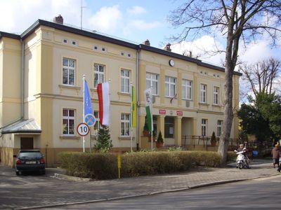
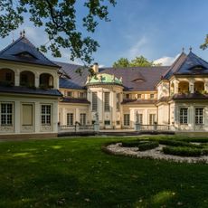
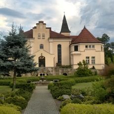
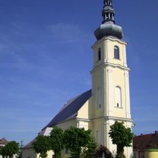
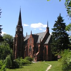
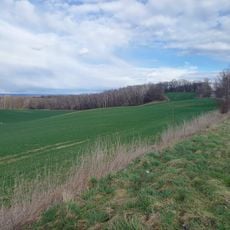
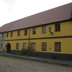
Gmina Oborniki Śląskie is an urban-rural municipality in northeastern Lower Silesian Voivodeship. The area combines residential zones, villages, and farming land spread across Trzebnica County.
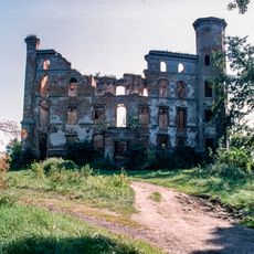
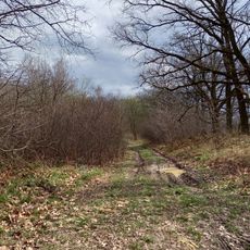
The region has been inhabited since the Mesolithic period, with Bronze Age archaeological remains including burial mounds from the Lusatian culture. These ancient settlement patterns continue to shape the landscape today.
The municipality organizes regular cultural events, including Independence Day celebrations, Christmas markets, and the annual Kocich Gór Half Marathon in November.
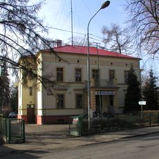
The administration center provides visitor information about the various villages and natural areas throughout the territory. It is helpful to plan your visit with a local map to explore the different parts of this mixed community.
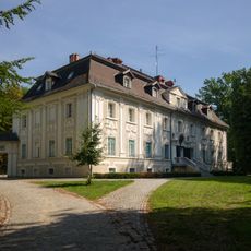
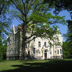
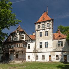
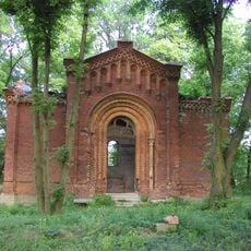
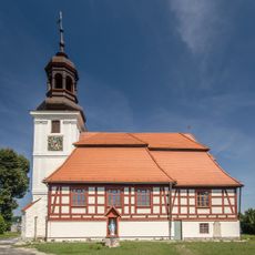
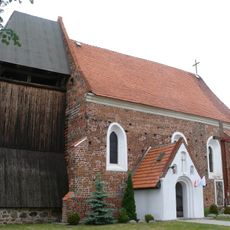
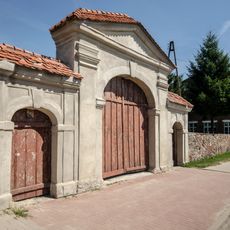
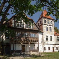
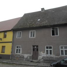
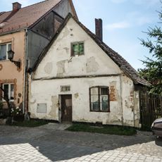
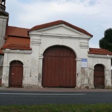
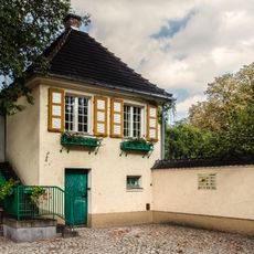
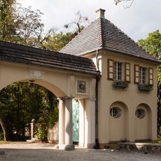
One of the villages in the area, Kotowice, received recognition as the Most Beautiful Village of Lower Silesia in 2024. This honor reflects the traditional architecture and landscape character of the settlement.
Location: Trzebnica County
Capital city: Oborniki Śląskie
Shares border with: Gmina Brzeg Dolny, Gmina Miękinia, Gmina Prusice, Gmina Trzebnica, Gmina Wisznia Mała, Gmina Wołów, Wrocław
Website: http://oborniki-slaskie.pl
GPS coordinates: 51.29861,16.90167
Latest update: December 11, 2025 11:02
Uraz Castle
7.1 km
Salvatorian Seminary Bagno, Lower Silesian Voivodeship
7.3 km
Palace in Pęgów
6.3 km
"New Castle" in Bagno
7.2 km
Palace in Brzeźno, Lower Silesian Voivodeship
7.4 km
Palace in Wielka Lipa
4.3 km
Saints Jude Thaddeus and Anthony of Padua church in Oborniki Śląskie
1.3 km
Saint Michael Archangel church in Uraz
7 km
Church of the Holy Heart of Jesus in Oborniki Śląskie
1.1 km
Palace in Rościsławice
4.4 km
Palace in Siemianice, Lower Silesian Voivodeship
2.5 km
Farny Upłaz
8.3 km
Długa Łąka (Wzgórza Trzebnickie)
4.8 km
Mauzoleum rodu von Lauterbach
3.9 km
Dom, d. fabryka skóry
7 km
Willa
826 m
Exaltation of the Holy Cross church in Rościsławice
4.9 km
Holy Trinity church in Lubnów
4.4 km
Ogrodzenie kościelne w Rościsławicach
4.9 km
Zespół rekreacyjno-parkowy (dec. zespół pałacowy) w Rościsławicach
5.2 km
Gospoda, ob. dom pomocy społecznej (dec. pałac)
5.1 km
Dom, XVIII/XIX
6.9 km
Dom, XVII/XVIII
6.9 km
Altana
7.2 km
Dom ogrodnika
7.1 km
Brama kościelna w Rościsławicach
4.9 km
Stróżówka z bramą
7.2 km
Garaż z bramą
7.3 kmVisited this place? Tap the stars to rate it and share your experience / photos with the community! Try now! You can cancel it anytime.
Discover hidden gems everywhere you go!
From secret cafés to breathtaking viewpoints, skip the crowded tourist spots and find places that match your style. Our app makes it easy with voice search, smart filtering, route optimization, and insider tips from travelers worldwide. Download now for the complete mobile experience.
A unique approach to discovering new places❞
— Le Figaro
All the places worth exploring❞
— France Info
A tailor-made excursion in just a few clicks❞
— 20 Minutes