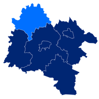
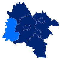
Strzelin County, Administrative district in Lower Silesian Voivodeship, Poland
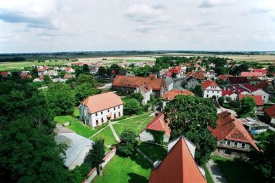
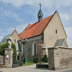
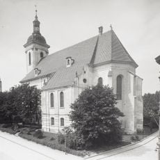
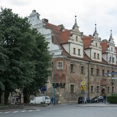
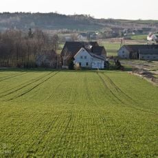
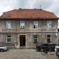
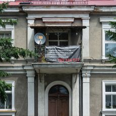
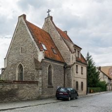
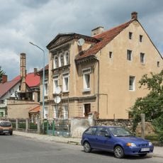
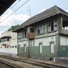
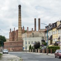
Strzelin County is an administrative district in Lower Silesian Voivodeship composed of several towns and numerous rural settlements spread across an extensive territory. The area blends urban centers with widespread agricultural landscapes and smaller villages.
The area took its present form through Polish administrative reforms in the late 1990s. This reorganization established the modern boundaries and structure of the five municipalities that make up the district today.
Residents celebrate local traditions through seasonal markets and festivals held across the towns and villages. These gatherings shape community life and connect the different municipalities together.
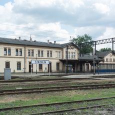
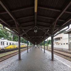
The area connects via regional road networks to neighboring administrative districts such as Wrocław and Oława. Visitors can reach these locations through local routes and explore multiple municipalities throughout the region.
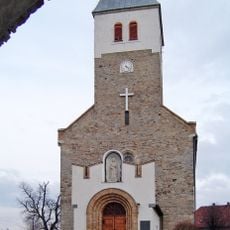
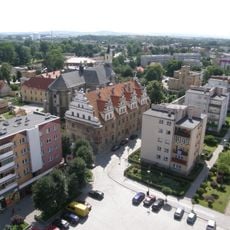
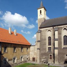
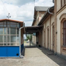
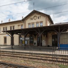
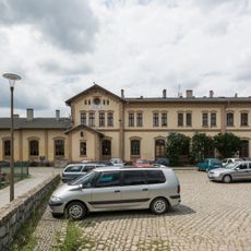
Strzelin town serves as the administrative center of the county despite being a relatively small settlement. Despite this modest size, it functions as an important link connecting the various rural communities across the district.
The community of curious travelers
AroundUs brings together thousands of curated places, local tips, and hidden gems, enriched daily by 60,000 contributors worldwide.