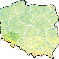
Polkowice County, Administrative district in Lower Silesian Voivodeship, Poland.
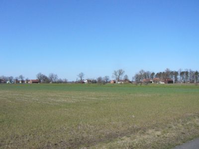
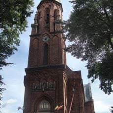
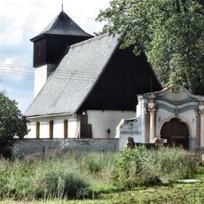
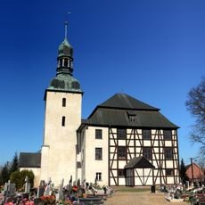
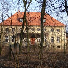
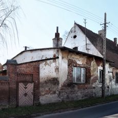
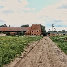
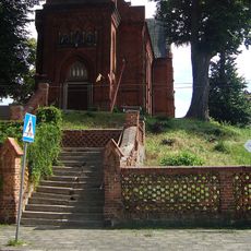
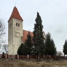
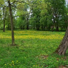
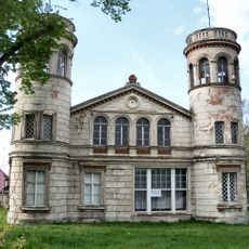
Polkowice County is an administrative district in Lower Silesian Voivodeship that spreads across a mixed landscape of towns and rural communities. The area is divided into several municipalities and contains both urban centers and villages, with a combined population of around 63,000 people.
This area received its current administrative structure in 1999 as part of a major overhaul of local government organization across Poland. The reform combined several older districts and created the current division into municipalities.
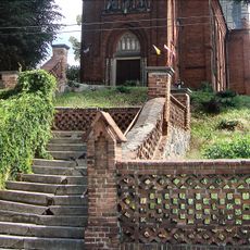
Pottery making has deep roots here, and you can still find craftspeople working with clay using time-honored methods. This tradition remains visible in the villages and shows how local skills have been passed down through generations.
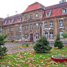
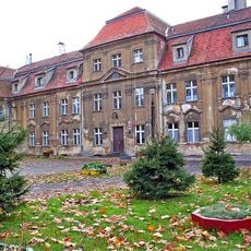
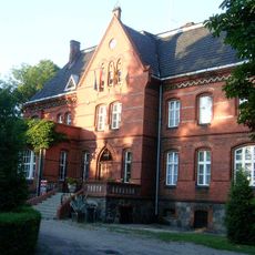
Polkowice serves as the administrative hub where government services are based for the region. Be aware that the various communities are spread across a large area, so traveling between settlements takes time and planning.
The area sits above substantial copper deposits that have shaped mining activity for decades. This industry has significantly influenced the economic character and landscape of several communities in the region.
Location: Lower Silesian Voivodeship
Inception: 1999
Capital city: Polkowice
Shares border with: Żagań County, Głogów County, Bolesławiec County, Legnica County, Lubin County
Website: http://powiatpolkowicki.pl
GPS coordinates: 51.83333,16.08333
Latest update: December 10, 2025 16:21
Castle in Kotla
10.3 km
Sława Palace
4.9 km
Saint Michael Archangel church in Sława
5 km
Kirche der Barmherzigkeit Gottes
5 km
Saints Peter and Paul church in Szklary Górne
11.5 km
Church of Saint Martin in Kotla
10.2 km
Manor in Przybyszów
6.6 km
Our Lady of Częstochowa church in Głogówko
11.1 km
Divine Mercy Church in Sława
5 km
Saint Martin church in Krzepielów
5.1 km
Kościół św. Bartłomieja w Lginiu
12.1 km
Kościół Matki Boskiej Bolesnej w Łysinach
9.3 km
Nativity of the Virgin Mary church in Tylewice
12.2 km
Saint Simon of Lipnica church in Stare Drzewce
11.7 km
Dwór
11.2 km
Spichrz
11.2 km
Figura przydrożna św. Jana Nepomucena
9.4 km
Sława Palace
4.9 km
Spichrz
12.3 km
Windmill in Tylewice
11.2 km
Ogrodzenie
12.1 km
Kościół ewangelicki, ob. rzym.-kat. św. Jadwigi
3.6 km
Pałac, XIX/XX
11.8 km
Park
11.2 km
Park
12 km
Palace in Tarnów Jezierny
7.4 km
Dwór w Lginiu
11.9 km
Schody
12.1 kmVisited this place? Tap the stars to rate it and share your experience / photos with the community! Try now! You can cancel it anytime.
Discover hidden gems everywhere you go!
From secret cafés to breathtaking viewpoints, skip the crowded tourist spots and find places that match your style. Our app makes it easy with voice search, smart filtering, route optimization, and insider tips from travelers worldwide. Download now for the complete mobile experience.
A unique approach to discovering new places❞
— Le Figaro
All the places worth exploring❞
— France Info
A tailor-made excursion in just a few clicks❞
— 20 Minutes