
Historyczny układ urbanistyczny
Location: Henryków, Lower Silesian Voivodeship
Inception: 13 century
GPS coordinates: 50.65313,17.01132
Latest update: March 3, 2025 08:41
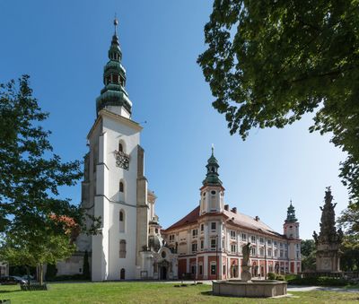
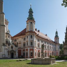
Abbey of Henryków
78 m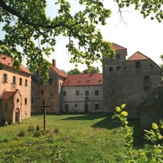
Witostowice Castle
3.9 km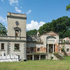
Manor in Kalinowice Górne
4.9 km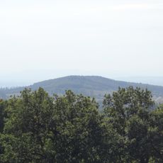
Kalinkeberg
6.1 km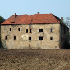
Neobschütz Castle
6.1 km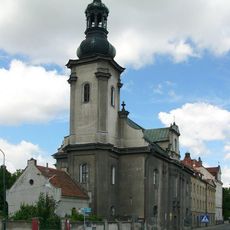
Saints Peter and Paul church in Ziębice
5.9 km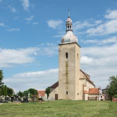
Saint Martin church in Stary Henryków
2.8 km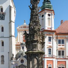
Holy Trinity monument in Henryków
119 m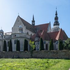
Mausoleum of Piasts in Henryków
222 m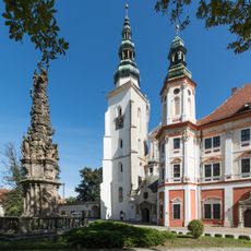
Church of St. Mary in Henryków
162 m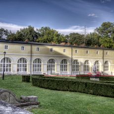
Former hospital building in Henryków
263 m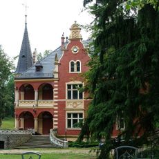
12 Chrobrego Street in Ziębice
5.4 km
Saint Andrew church in Henryków
111 m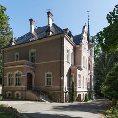
11 Chrobrego Street in Ziębice
5.3 km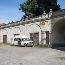
Carriage house in Henryków
157 m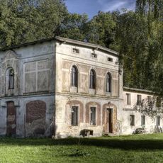
Gardener's house in Henryków
279 m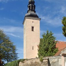
Saint Lawrence church in Wadochowice
2.6 km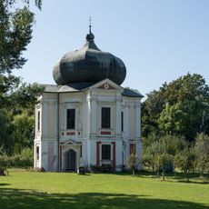
Garden Pavilion in Henryków
254 m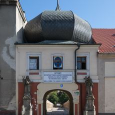
Upper gate building in Henryków
31 m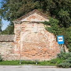
Garden wall in Henryków
406 m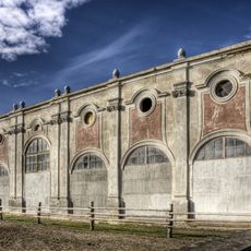
Orangery in Henryków
189 m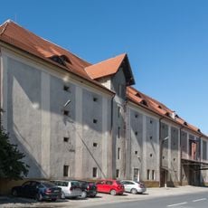
Granary in Henryków
198 m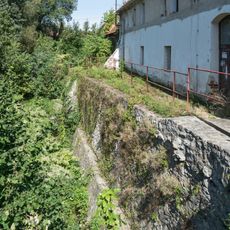
Defensive wall in Henryków
184 m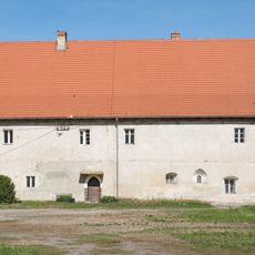
Former servants house in Henryków
208 m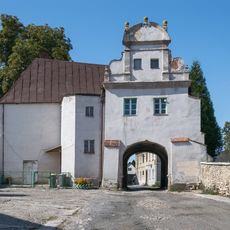
Lower gate building in Henryków
98 m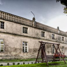
D. szkoła łacińska, ob. dom mieszkalny- oficyna płd.-zach.opactwa
175 m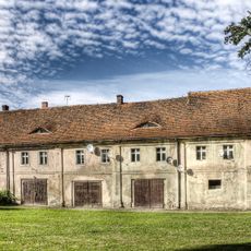
Northern outbuilding in Henryków
126 m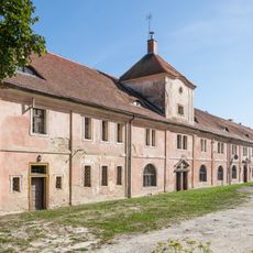
Western outbuilding in Henryków
110 mVisited this place? Tap the stars to rate it and share your experience / photos with the community! Try now! You can cancel it anytime.
Discover hidden gems everywhere you go!
From secret cafés to breathtaking viewpoints, skip the crowded tourist spots and find places that match your style. Our app makes it easy with voice search, smart filtering, route optimization, and insider tips from travelers worldwide. Download now for the complete mobile experience.

A unique approach to discovering new places❞
— Le Figaro
All the places worth exploring❞
— France Info
A tailor-made excursion in just a few clicks❞
— 20 Minutes