
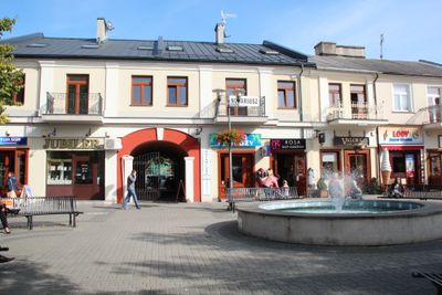
Układ urbanistyczny miasta Lubartów, Pools monument in Lubartów
Location: Lubartów
Inception: 16 century
GPS coordinates: 51.46306,22.60939
Latest update: March 6, 2025 22:17
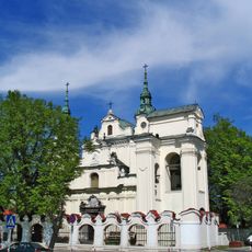
Saint Anne church in Lubartów
159 m
Saint Lawrence church in Lubartów
525 m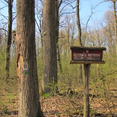
Kozie Góry Nature Reserve
7.2 km
Mary Magdalene Church in Serniki
4.7 km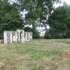
Jewish cementery in Lubartów
816 m
Market square in Lubartów
4 m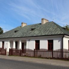
Muzeum Ziemi Lubartowskiej
139 m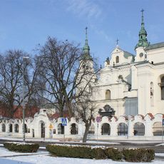
Muzeum Parafialne w Lubartowie
159 m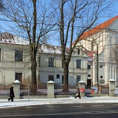
Capuchin monastery in Lubartów
508 m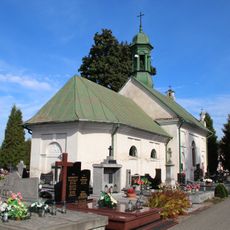
Cemetery chapel in Lubartów
358 m
Lubartów Palace
438 m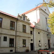
Zespół klasztorny kapucynów w Lubartowie
514 m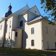
Mary Magdalene Church in Serniki
4.7 km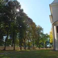
Cmentarz kościelny
4.7 km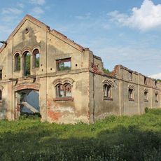
Stajnia koni roboczych
8 km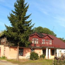
3-5 Kościuszki Street in Lubartów
186 m
28 Kościuszki Street in Lubartów
140 m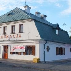
Dom, ob. budynek biurowy
52 m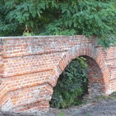
Mostek, poł. XVIII
210 m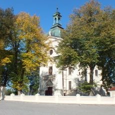
Zespół kościoła Marii Magdaleny
4.7 km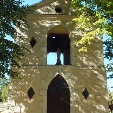
Dzwonnica w Sernikach
4.7 km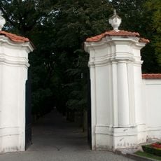
Brama, poł. XVIII
343 m
Ogrodzenie z bramkami
4.7 km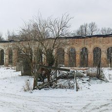
Orangery in Lubartów
435 m
Pałac, Słowackiego 8 w Lubartowie
283 m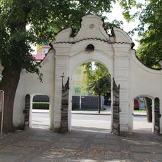
Ogrodzenie z bramką, poł. XVIII
162 m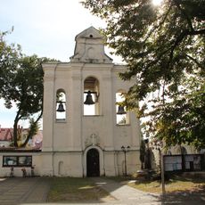
Saint Anne church in Lubartów - belfry
135 m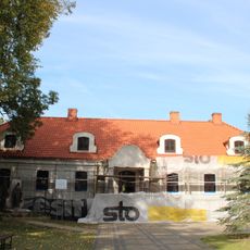
Plebania, Słowackiego 6 w Lubartowie
183 mVisited this place? Tap the stars to rate it and share your experience / photos with the community! Try now! You can cancel it anytime.
Discover hidden gems everywhere you go!
From secret cafés to breathtaking viewpoints, skip the crowded tourist spots and find places that match your style. Our app makes it easy with voice search, smart filtering, route optimization, and insider tips from travelers worldwide. Download now for the complete mobile experience.

A unique approach to discovering new places❞
— Le Figaro
All the places worth exploring❞
— France Info
A tailor-made excursion in just a few clicks❞
— 20 Minutes