
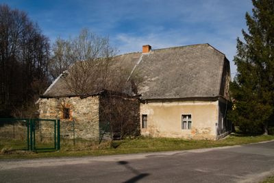
Watermill in Jarnołtówek, zabytek w Jarnołtówku
Location: Jarnołtówek
Inception: 19 century
Address: Jarnołtówek 115
GPS coordinates: 50.28243,17.41951
Latest update: June 3, 2025 10:06
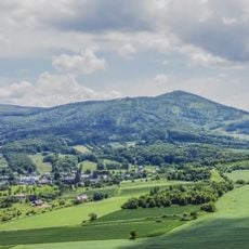
Biskupská kupa
2.9 km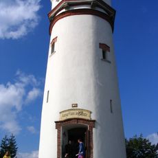
Wieża widokowa na Biskupiej Kopie
3 km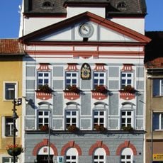
Radnice
2.7 km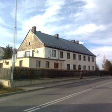
WOP post in Konradów
2.2 km
Leuchtenštejn
2.3 km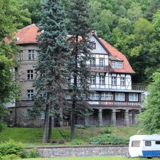
Sanatorium „Aleksandrówka” w Jarnołtówku
1.3 km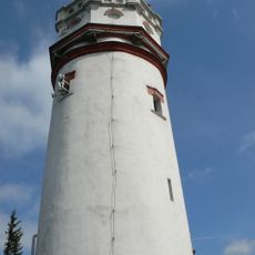
Biskupská kupa (rozhledna)
2.9 km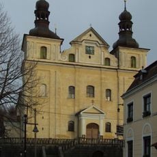
Church of the Assumption of the Virgin Mary
2.6 km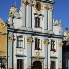
Bývalá pošta
2.7 km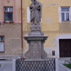
Sloup se sochou svatého Josefa Pěstouna
2.6 km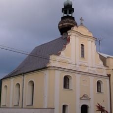
Church of Holy Cross (Zlaté Hory)
2.5 km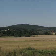
Olszak
2.7 km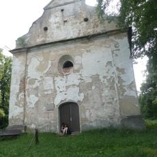
Kaple svatého Rocha
2.8 km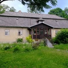
Fara
2.6 km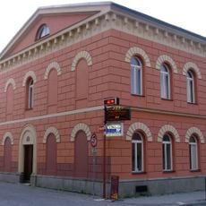
Dům čp. 67
2.6 km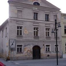
Dům čp. 93
2.7 km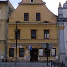
Dům čp. 95
2.7 km
Dům čp. 87
2.7 km
Zlatohorská hornická naučná stezka
2.7 km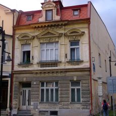
Dům čp. 18
2.7 km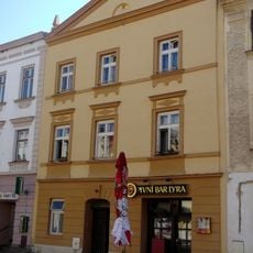
Dům čp. 22
2.7 km
Dům čp. 89
2.7 km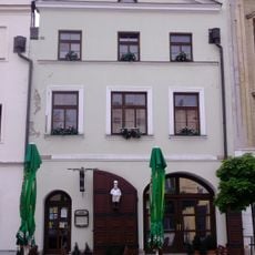
Dům čp. 88
2.7 km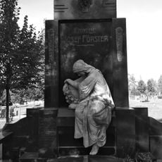
Hrobka rodiny Josefa Förstera
2.5 km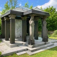
Familiengruft Förster
2.5 km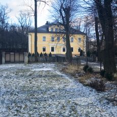
Manor complex in Jarnołtówek
611 m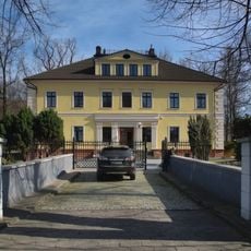
Manor in Jarnołtówek
631 m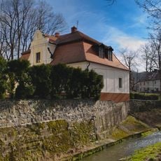
Manor annex in Jarnołtówek
594 mReviews
Visited this place? Tap the stars to rate it and share your experience / photos with the community! Try now! You can cancel it anytime.
Discover hidden gems everywhere you go!
From secret cafés to breathtaking viewpoints, skip the crowded tourist spots and find places that match your style. Our app makes it easy with voice search, smart filtering, route optimization, and insider tips from travelers worldwide. Download now for the complete mobile experience.

A unique approach to discovering new places❞
— Le Figaro
All the places worth exploring❞
— France Info
A tailor-made excursion in just a few clicks❞
— 20 Minutes