Enable Location

We need your location to show you interesting places around you

Discover nearby places

Find interesting locations and hidden gems around you

Precise directions

Get accurate directions and distances to places

Your location is never shared with other users. It's only used when you tap the location button.

Oliveira do Hospital

Log in to your account

Start exploring — it's free

Trusted by 64,494 travelers worldwide

Continue with Google
Continue with Apple
or

We will send you a code to connect

By continuing, you accept our Terms and Conditions and our Privacy Policy

Check your inbox

We've sent a pincode in your inbox. Please enter the code below.

Oliveira do Hospital
Discussion Reviews 3 Photos
18k Popularity

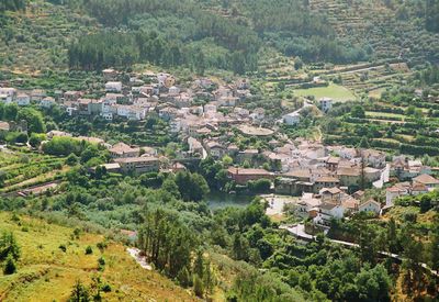
Oliveira do Hospital, municipality and city in Portugal

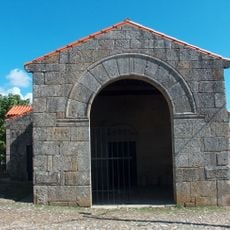
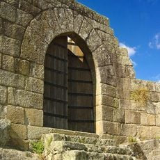
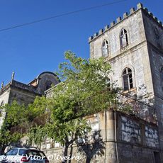
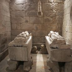
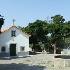
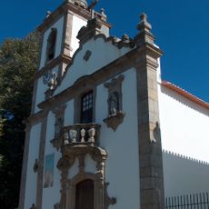
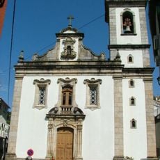
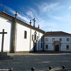
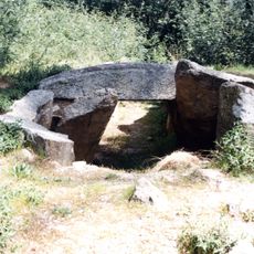
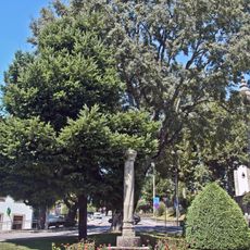
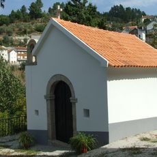
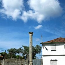
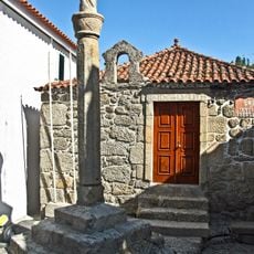
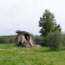
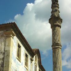
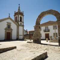
Oliveira do Hospital is a municipality in the Coimbra district, situated within the Serra da Estrela region. The area contains ancient structures such as large stone tombs and Roman ruins at Bobadela, alongside protected heritage sites like the Moorish Church of São Pedro da Lourosa and the Chapel of the Blacksmiths.

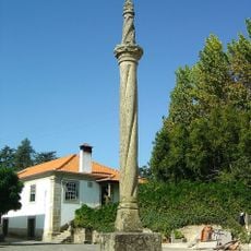
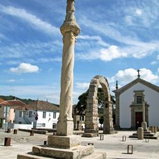
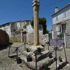
The town's name evolved from Ulvária, meaning swampy land with juniper trees, through Ulveira to the modern Oliveira, reflecting the landscape's transformation over time. In the medieval period, the Knights of St. John of Jerusalem received a land grant, which established the town's current name and its association with that monastic order.

The town's name comes from a medieval monastic order, the Knights of St. John of Jerusalem, who received land grants here and shaped the settlement's identity. This heritage remains visible today in how locals value their traditions and maintain museums dedicated to regional crafts and history.

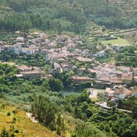
The town sits about one hour from both Coimbra and Viseu, with good road connections making it easy to reach from nearby cities. Visitors can comfortably explore the surrounding areas without long travel times.

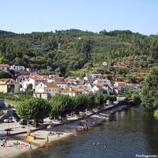
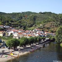
The area is home to natural freshwater swimming spots marked with awards like the Blue Flag and Gold Flag, confirming their high quality and cleanliness. These bathing areas are perfect for swimming and picnicking on warm days.

The community of curious travelers

AroundUs brings together thousands of curated places, local tips, and hidden gems, enriched daily by 60,000 contributors worldwide.

Start exploring
Location
Location
Shares border with
Tábua, Arganil, Carregal do Sal, Nelas, Seia
GPS coordinates
40.36667,-7.86667
Latest update
February 17, 2026 00:00
Reviews
Share your experience

No review yet

Discussions
Start a discussion...

No discussion yet

« Oliveira do Hospital - municipality and city in Portugal » is provided by Around Us (aroundus.com). Images and texts are derived from Wikimedia project under a Creative Commons license. You are allowed to copy, distribute, and modify copies of this page, under the conditions set by the license, as long as this note is clearly visible.

Discover hidden gems everywhere you go!

From secret cafés to breathtaking viewpoints, skip the crowded tourist spots and find places that match your style. Our app makes it easy with voice search, smart filtering, route optimization, and insider tips from travelers worldwide. Download now for the complete mobile experience.

Around Us App Screenshot

A unique approach to discovering new places

Le Figaro

All the places worth exploring

France Info

A tailor-made excursion in just a few clicks

20 Minutes

Around Us
Travel Guide & Maps
Download

Send to your phone

QR Code
1

Open the camera app on your mobile.

2

Point at the QR code with your camera. A notification will appear.

3

Tap the notification to open the link.