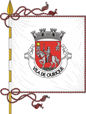
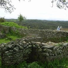
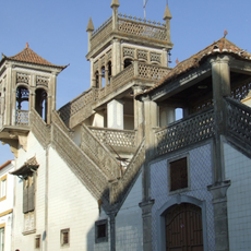
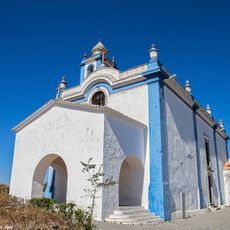
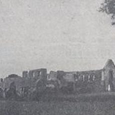
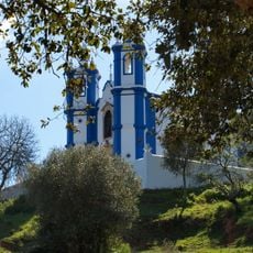
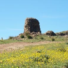
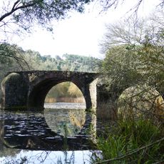
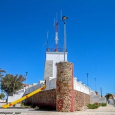
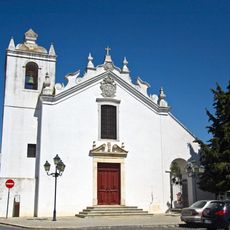
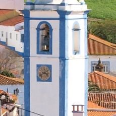
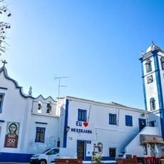
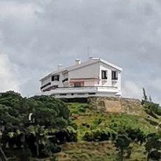
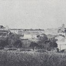
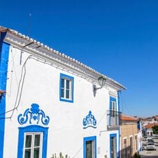
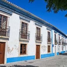
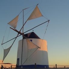
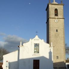
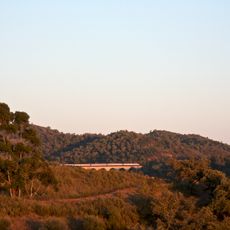
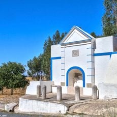
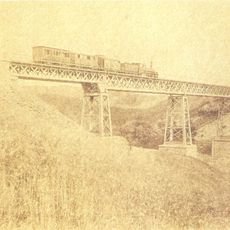
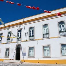
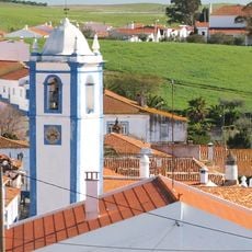
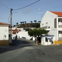
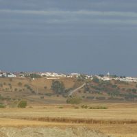
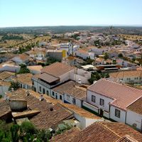
Ourique, municipality and town of Portugal
The community of curious travelers
AroundUs brings together thousands of curated places, local tips, and hidden gems, enriched daily by 60,000 contributors worldwide.
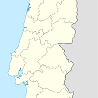
Location
Location
Shares border with
Almodôvar, Castro Verde, Aljustrel, Santiago do Cacém, Odemira, Silves
Website
GPS coordinates
37.65000,-8.22500
Latest update
March 10, 2025 03:24