Enable Location

We need your location to show you interesting places around you

Discover nearby places

Find interesting locations and hidden gems around you

Precise directions

Get accurate directions and distances to places

Your location is never shared with other users. It's only used when you tap the location button.

Log in to your account

Start exploring — it's free

Trusted by 62,558 travelers worldwide

Continue with Google
Continue with Apple
or

We will send you a code to connect

By continuing, you accept our Terms and Conditions and our Privacy Policy

Check your inbox

We've sent a pincode in your inbox. Please enter the code below.

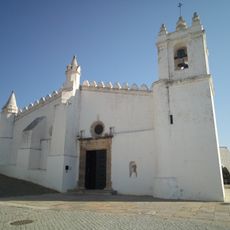
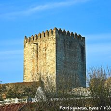
Beja, Administrative district in Alentejo region, Portugal

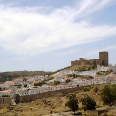
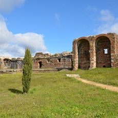
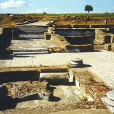
Beja is an administrative district in the Alentejo region of southern Portugal comprising several municipalities across a wide area. The territory encompasses numerous small towns and villages with extensive farmland.

The district was established in its current form in 1835 as a separate administrative unit. It has maintained its role as a key agricultural and administrative center of southern Portugal ever since.

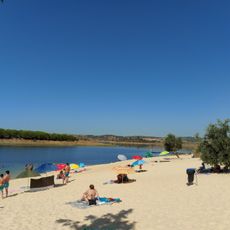
The region holds onto rural customs through local markets and gatherings where traditional crafts and farm life remain visible parts of everyday activity. People here maintain strong ties to the land and what it produces.

The district capital can be reached by highway from major Portuguese cities, making travel between regions straightforward. A regional airport also serves visitors from other parts of the country.

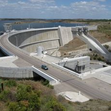
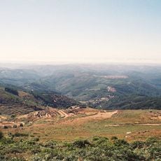
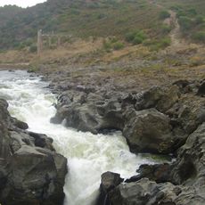
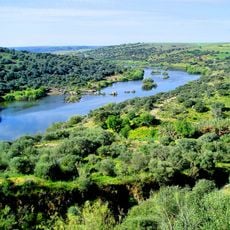
Most of the area remains thinly populated with sparse villages separated by wide agricultural lands. This landscape allows for large-scale cultivation of grain crops, olives, and vineyards across open countryside.

The community of curious travelers

AroundUs brings together thousands of curated places, local tips, and hidden gems, enriched daily by 60,000 contributors worldwide.

Start exploring
Location
Inception
January 1, 1835
Capital city
Beja
Shares border with
Setúbal, Évora, Faro, Province of Badajoz, Province of Huelva
GPS coordinates
38.01667,-7.86667
Latest update
December 20, 2025 14:04
« Beja - Administrative district in Alentejo region, Portugal » is provided by Around Us (aroundus.com). Images and texts are derived from Wikimedia project under a Creative Commons license. You are allowed to copy, distribute, and modify copies of this page, under the conditions set by the license, as long as this note is clearly visible.

Discover hidden gems everywhere you go!

From secret cafés to breathtaking viewpoints, skip the crowded tourist spots and find places that match your style. Our app makes it easy with voice search, smart filtering, route optimization, and insider tips from travelers worldwide. Download now for the complete mobile experience.

Around Us App Screenshot

A unique approach to discovering new places

Le Figaro

All the places worth exploring

France Info

A tailor-made excursion in just a few clicks

20 Minutes

Around Us
Travel Guide & Maps
Download

Send to your phone

QR Code
1

Open the camera app on your mobile.

2

Point at the QR code with your camera. A notification will appear.

3

Tap the notification to open the link.