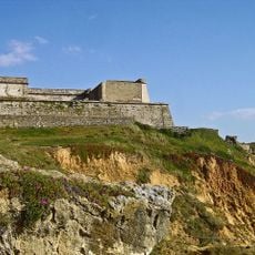
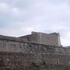
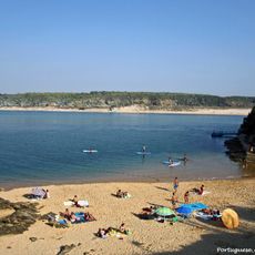
Forte de Milfontes, Coastal fortress in Vila Nova de Milfontes, Portugal
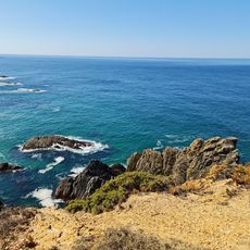
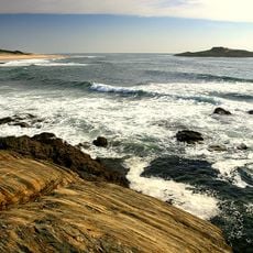
Forte de Sao Clemente is a polygonal stone fortification perched on a rocky outcrop above the mouth of the Mira River, with bastions positioned at its northwest and southwest corners. The structure sits elevated above the water and commands a clear view down the river channel and along the coastal landscape.
The fort was built between 1599 and 1602 under the supervision of engineer Alexandre Massai to protect the town from pirates and establish a customs control point. Its construction marked an important phase in the development of Portuguese coastal defenses during the early modern period.
The fort displays a stone coat of arms with a closed crown above its gate, reflecting Portuguese military design from the Philippine Dynasty era. This architectural style shaped how coastal fortifications looked and were built along the Portuguese coast during that period.
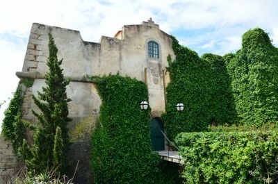
The fort now serves as a private residence but opens for specific cultural events and guided tours throughout the year. It is wise to check ahead about the visiting schedule to gain access to this site.
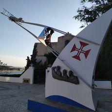
Next to the fort, Praca da Barbaca contains a monument marking the departure point of the first aerial journey from Portugal to Macau in 1924. This event links the site to a remarkable chapter in early Portuguese aviation history.
The community of curious travelers
AroundUs brings together thousands of curated places, local tips, and hidden gems, enriched daily by 60,000 contributors worldwide.