Vila Nova de Milfontes, civil parish in Odemira
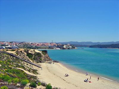
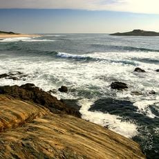
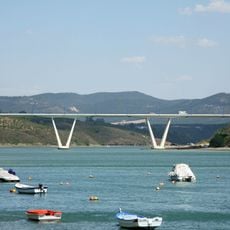
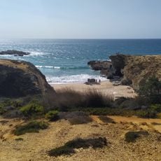
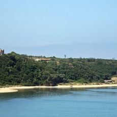
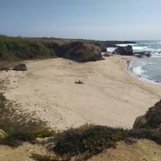
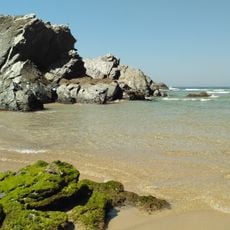
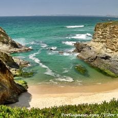
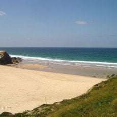
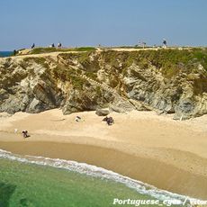
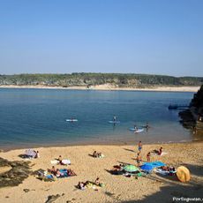
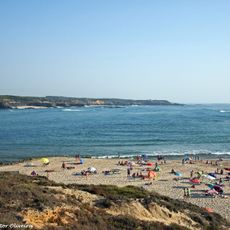
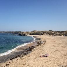
Vila Nova de Milfontes sits on the north side of the Mira River mouth, in a region combining beaches with river valleys. The settlement spreads across a peninsula and merges wide sandy beaches such as Aivados, Malhão, Farol, Franquia and Furnas with the river valley and surrounding hills and forests.
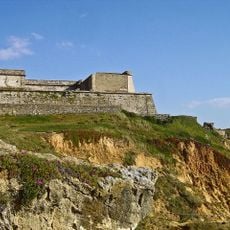
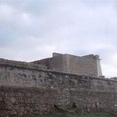
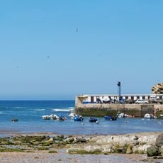
The settlement was founded by royal decree of King John II in 1486 and initially developed as a trading and sailing port. Fort São Clemente was built between 1599 and 1602 under King Philip II to protect the town from pirate and corsair raids, following a major attack in 1590 that caused significant damage.
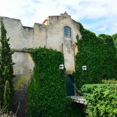
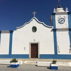
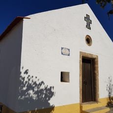
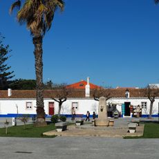
The settlement takes its name from a royal decree establishing a new town in this location centuries ago. The center features white houses with brightly painted doors in yellow and blue, creating a simple and welcoming appearance that reflects the area's connection to the sea and fishing heritage.
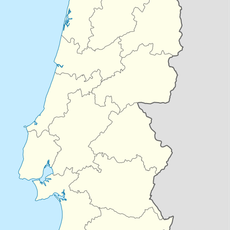
The settlement is reachable by car and lies on Portugal's southern coast in the Odemira district, with no direct train service. Plan at least three days to explore the region, with the best conditions from May through September when weather is warm and sunny.
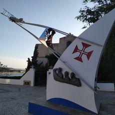
In 1924, Portuguese pilots Brito Paes and Sarmento Beires departed from a location called Campo dos Coitos on their historic flight to Macau in Asia, the first flight of its kind from Portugal to the Far East. A monument in the main square honors these pilots and their pioneering journey, which held significance for Portuguese aviation history.
The community of curious travelers
AroundUs brings together thousands of curated places, local tips, and hidden gems, enriched daily by 60,000 contributors worldwide.