Montemuro, Mountain chain and protected area in Norte and Centro regions, Portugal
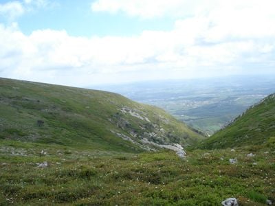
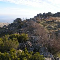
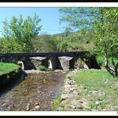
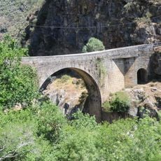
Montemuro is a mountain range in northern and central Portugal, sitting between the Douro River to the north and the Paiva River to the south, with its highest point at around 1400 meters. The terrain shifts from open moorland at the top to forested slopes and deep river gorges lower down.
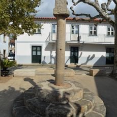
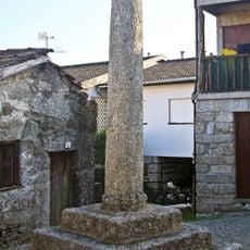
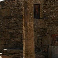
Human settlement in the Montemuro area goes back to the Iron Age, with traces found across the slopes at elevations up to around 1100 meters. That long presence shaped the land in ways that are still visible today in the layout of villages and paths.
Shepherds bring their flocks to the high pastures in midsummer, a seasonal practice that still shapes the rhythm of village life on the slopes. This movement of animals and people across the mountain is something a visitor can witness firsthand during those weeks.
Marked trails cross the mountain at different levels of difficulty, and conditions are generally better during the drier months. Sturdy footwear is a good idea for the upper sections, where the terrain becomes rougher and less sheltered.
The geographer Amorim Girão once described Montemuro as the least explored mountain range in Portugal, a label that still holds in many ways. Visitors today can find corners of the range that see very few people, even during the summer months.
The community of curious travelers
AroundUs brings together thousands of curated places, local tips, and hidden gems, enriched daily by 60,000 contributors worldwide.